 |
| Climbing Mt Rumney |
This is the fourth post of a series on some of the great road cycling climbs around Hobart. You can be notified of new posts in the series by following me on Twitter. The order of these climbs is completely my own whimsy. No doubt you’ll disagree with me: leave a comment to tell me what I got wrong. Maybe I’ll see you out on one of these climbs?
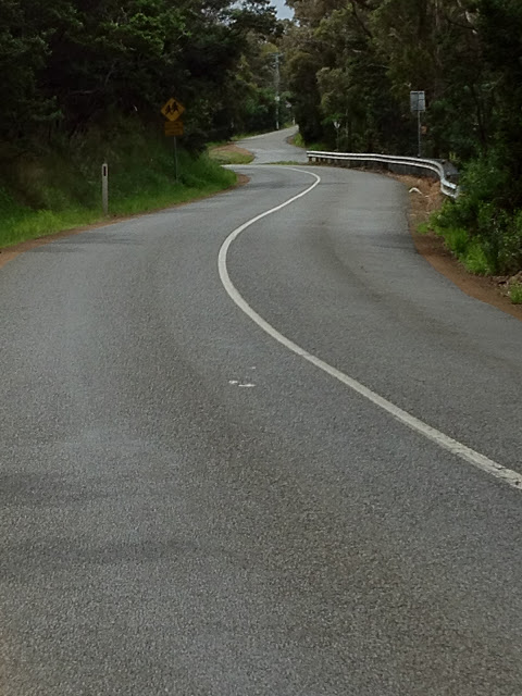
I recently rediscovered Mt Rumney on a lovely spring lunch ride. Mt Rumney is on the Eastern shore of the Derwent River in Hobart, and is accessed via old Cambridge Rd from Mornington. The climb starts with a brief (and if you want, blisteringly fast) climb up Tunnel Hill, and then turns right onto Mt Rumney Rd at the very crest of the hill. From here, the road has a varying gradient, but is never overly steep, and winds its narrow way around both sides of the hill, alternating between views of Seven Mile Beach and the airport, and Hobart, the Derwent River, and Mt Wellington. Whatever point you are at though, the road is smooth, and the climb is great!
Tunnel Hill is named after the tunnel that was built under it as part of the short-lived Bellerive-Sorell Railway. The tunnel is not visible from the road but is easy to find.
The last kilometre of the climb is dirt, and some riders prefer to turn at the end of the tarmac (especially if you’ve been smashing it up the climb!) but it is definitely worth riding those last few metres for the views at the top. And for the telco tower. The dirt section is a bit steeper, averaging 10%, but not particularly difficult. When I rode up recently, it was pretty smooth and no trouble on a road bike. Did I mention good views from the summit?
The descent is fast and windy and therefore fun, but because the road is quite narrow and sight lines are not great, it is important to be careful of oncoming cars.
Your Challenge: Ride the entire climb at a cadence of 100 (I don’t care which gear)
In my next post, you’ll find one of the most frequented climbs in Hobart…
| Mt Rumney |
| Distance |
3.3km (4.3km with dirt) |
| Category |
3 |
| Elevation |
226m |
| Gradient |
6.9% |
| Maximum Gradient |
12% |
| Time from city |
25 minutes |
| Traffic |
low-medium |
| Strava |
http://app.strava.com/segments/641042 |
How to get to the climb: Cross the Tasman Bridge on the southern side, and ride through Rosny along Riawena Rd, right on Rosny Hill Rd, left on Bligh St, right on Shackleton St, left onto Mornington Rd, straight through the roundabout. Keep riding and you’ll reach Tunnel Hill. Sounds complicated but actually pretty straightfoward when you get there. |
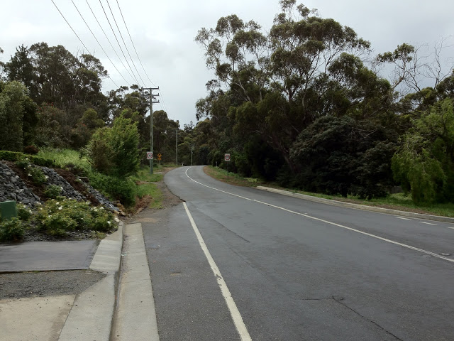 |
| The start of Tunnel Hill |
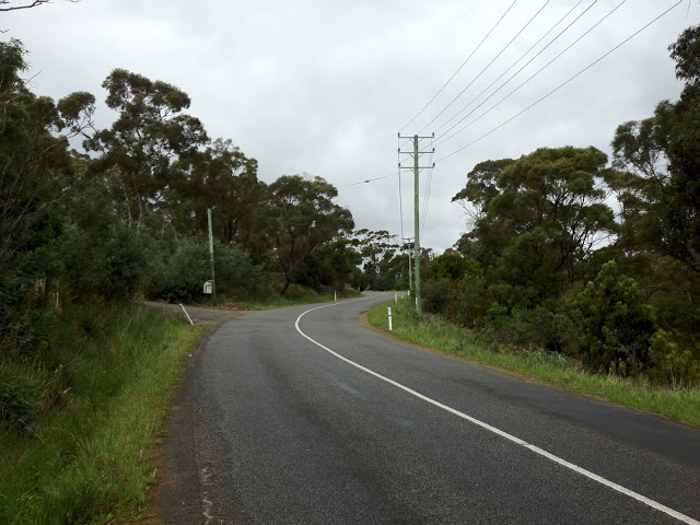 |
| Tunnel hill is a short, windy ascent |
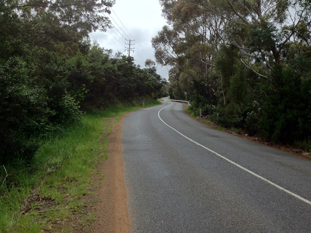 |
| First glimpse of Mt Rumney Rd |
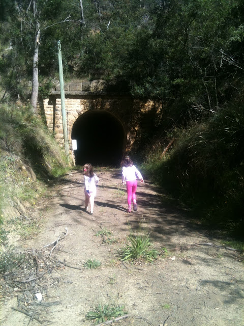 |
| The tunnel which Tunnel Hill is named after passes under the intersection with Mt Rumney Rd |
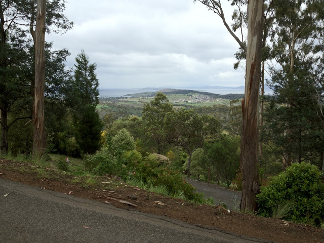 |
| One of many views, this one south I think |
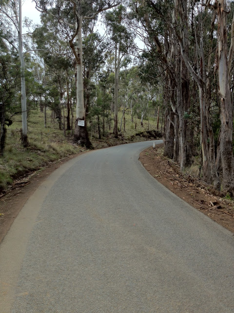 |
| Quiet woods |
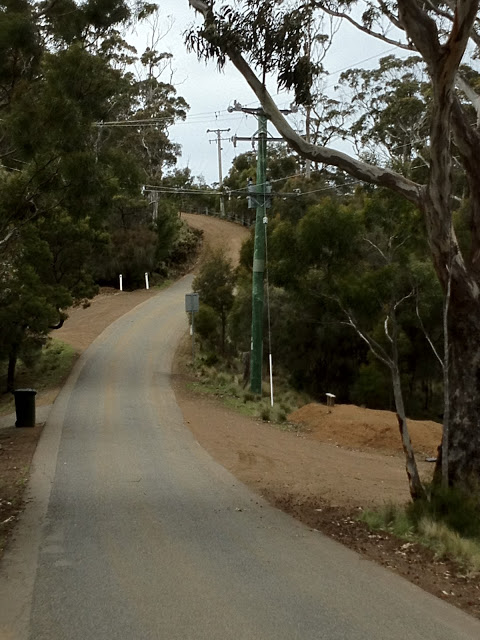 |
| The tarmac ends: the climb gets interesting from here |
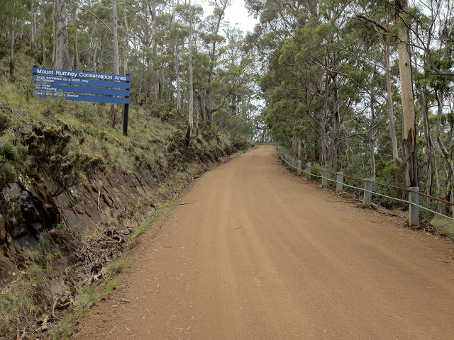 |
| The dirt is pretty smooth, no trouble on a road bike |
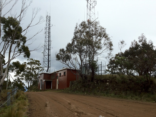 |
| The telco towers at the top. Not very interesting, huh? |
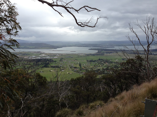 |
| Fantastic views from the summit |
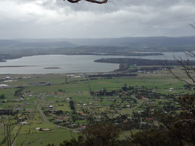 |
| Looking out over Acton Park and Cambridge |
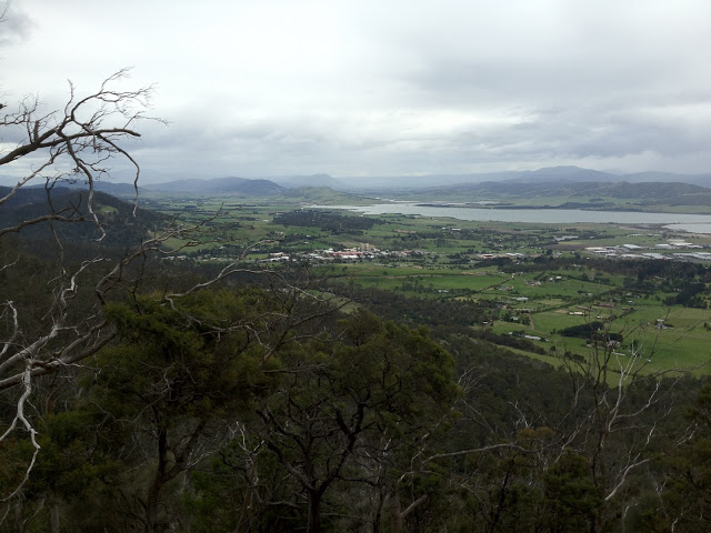 |
| North towards Coal Valley (lots of great cycling roads there) |
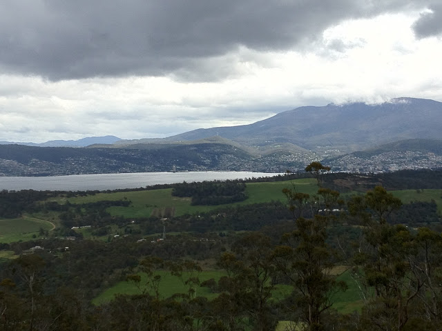 |
| Amazing views of Hobart and Mt Wellington |
Other posts in this series: