|
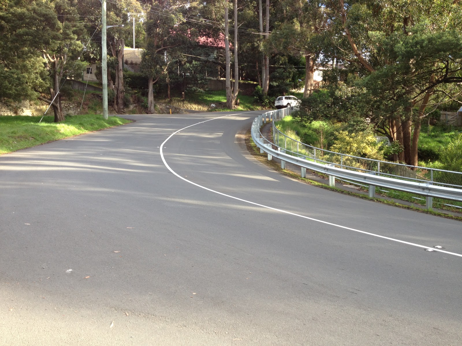
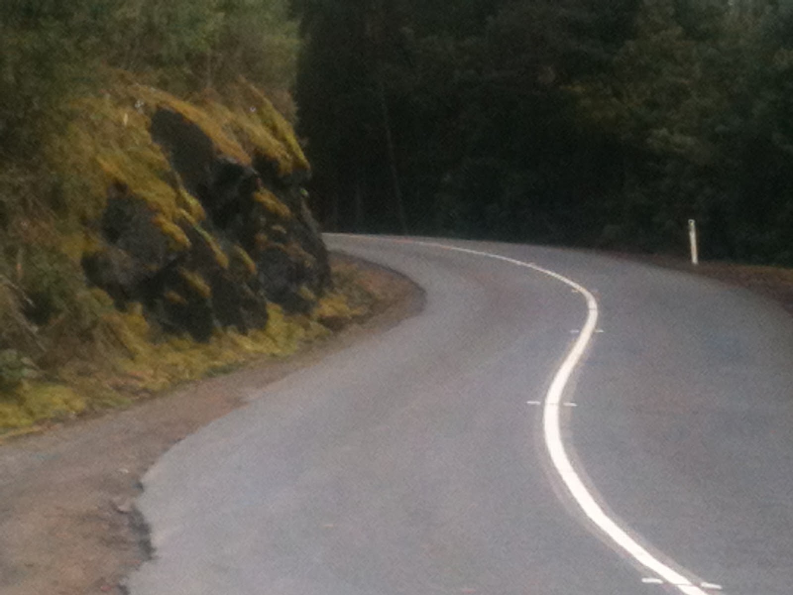
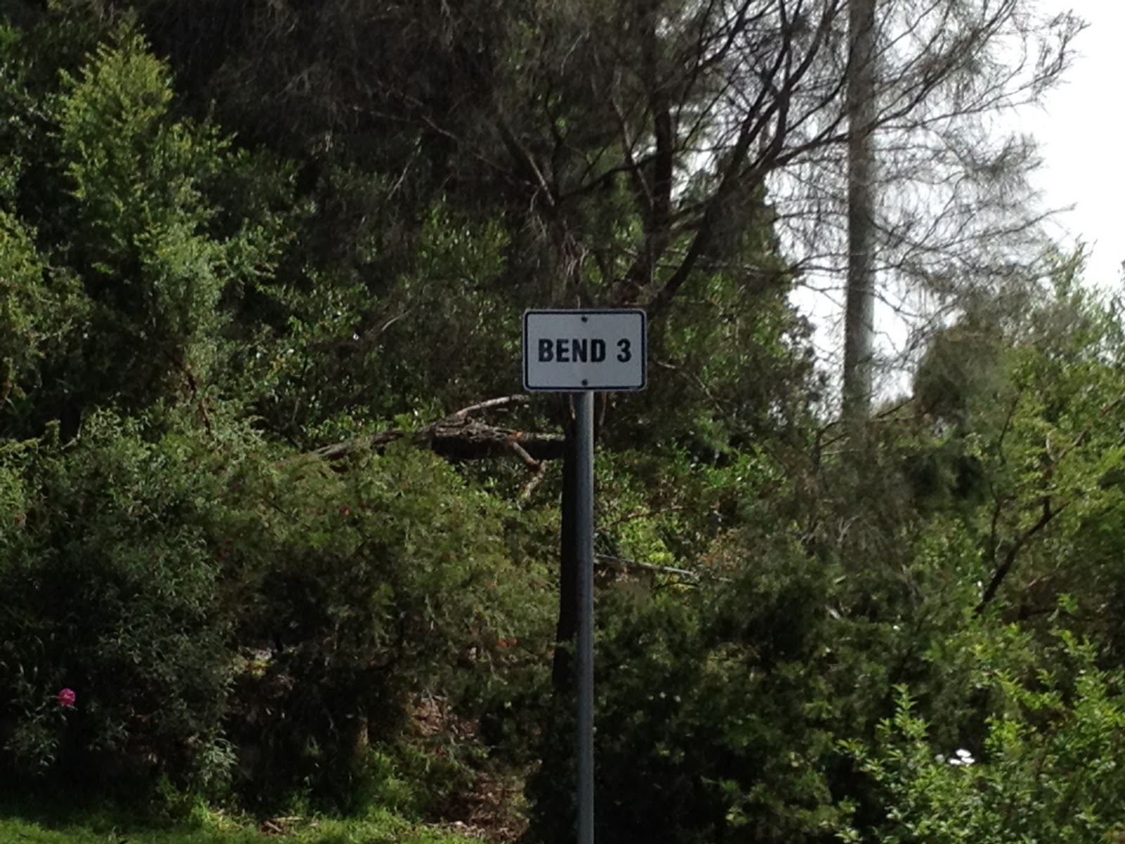
| Bend 3 of the 7 famous hairpins. |
This is the second post of a series on some of the great road cycling climbs around Hobart. You can be notified of new posts in the series by following me on Twitter. I have ordered these climbs according to my own preference. No doubt you’ll disagree with me: just tell me in the comments! I hope this will inspire you to go and ride these climbs 🙂
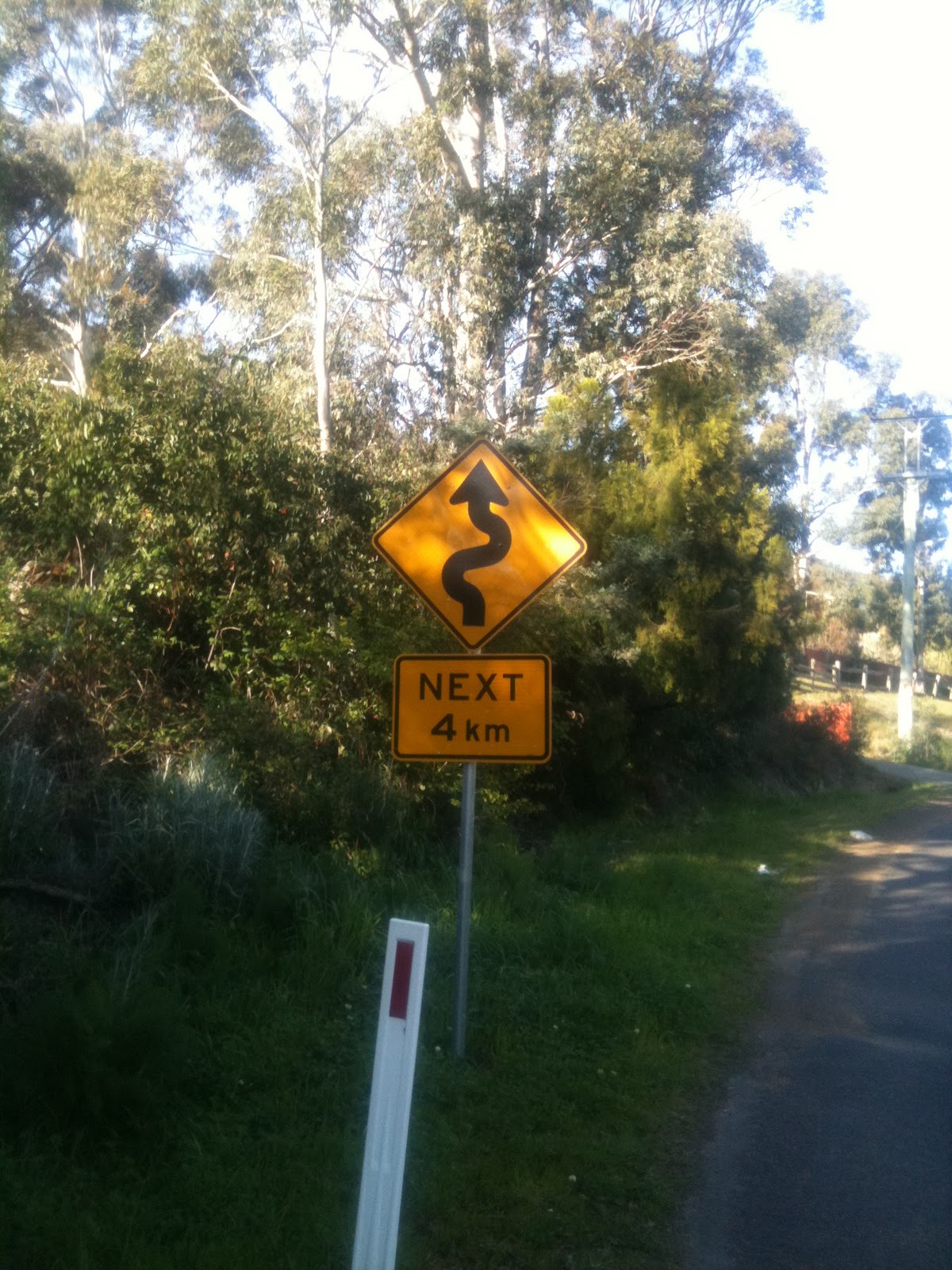
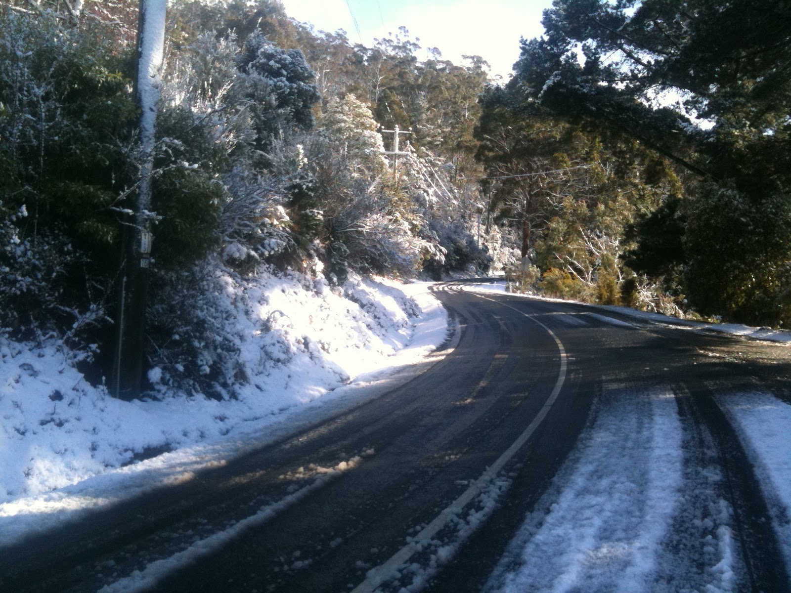
Enough blather, what about the climb? I was in two minds as to whether or not I’d include Nelson Rd in this catalogue of climbs. It is quite a suburban road, and doesn’t have the quiet back road feel of most of the other climbs around Hobart that I’ve chosen for my top 10. However, the road has some unique and fun features, particularly 7 hairpin bends, and it is also well suited to a tempo style climb for each straight. This allows you to build up a nice rhythm with a high tempo run to each corner, out of the saddle to power around the hairpin, and then back on the seat and into your previous cadence on the next straight. Unfortunately, the lumpy road surface does throw your rhythm as you bump over driveway ramps, but I guess that’s all part of the fun!
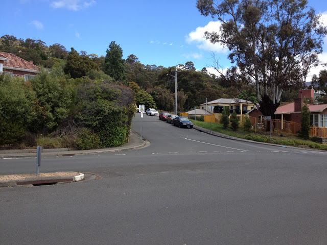
I mark the start of this climb at the intersection between Churchill Ave and Nelson Rd, although Nelson Rd does start down at the Casino at sea level. The section of the climb between the Casino and Churchill Ave has a lot of traffic and the intersection with Churchill Ave is a hassle because of the traffic, so I’ve excluded that from the climb.
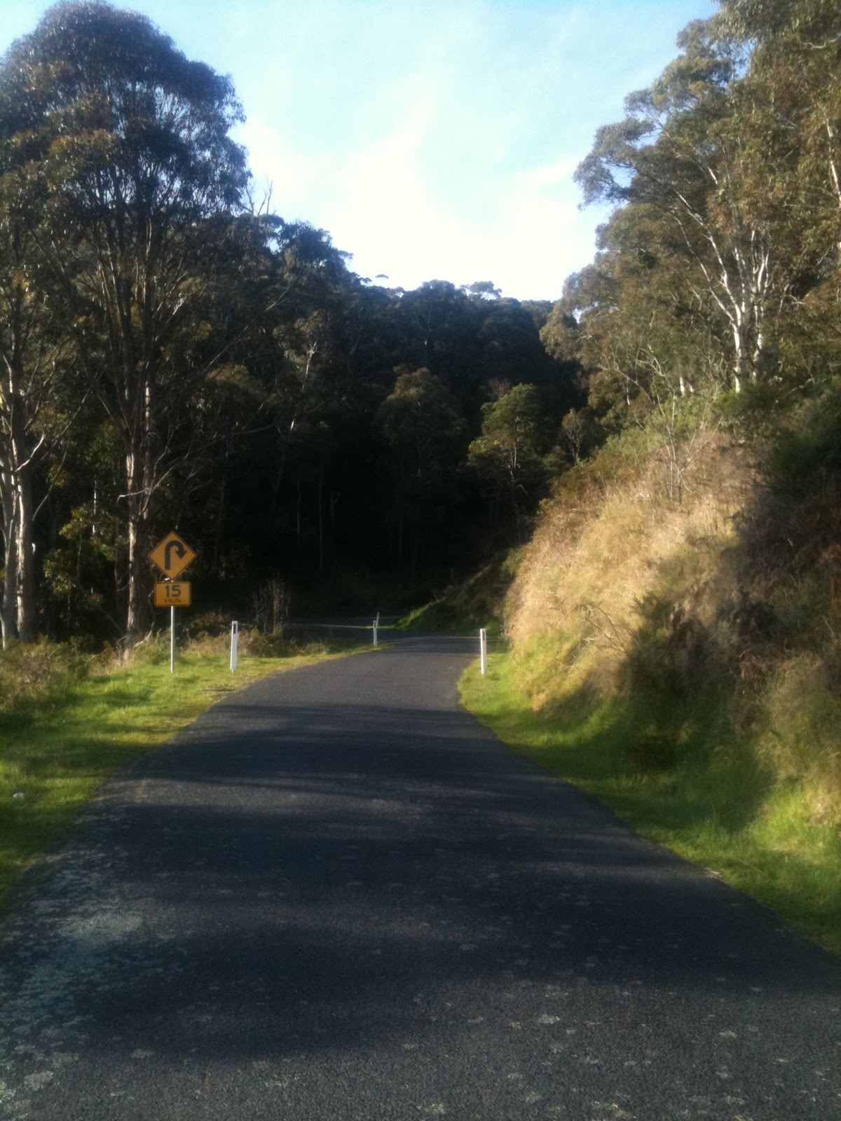
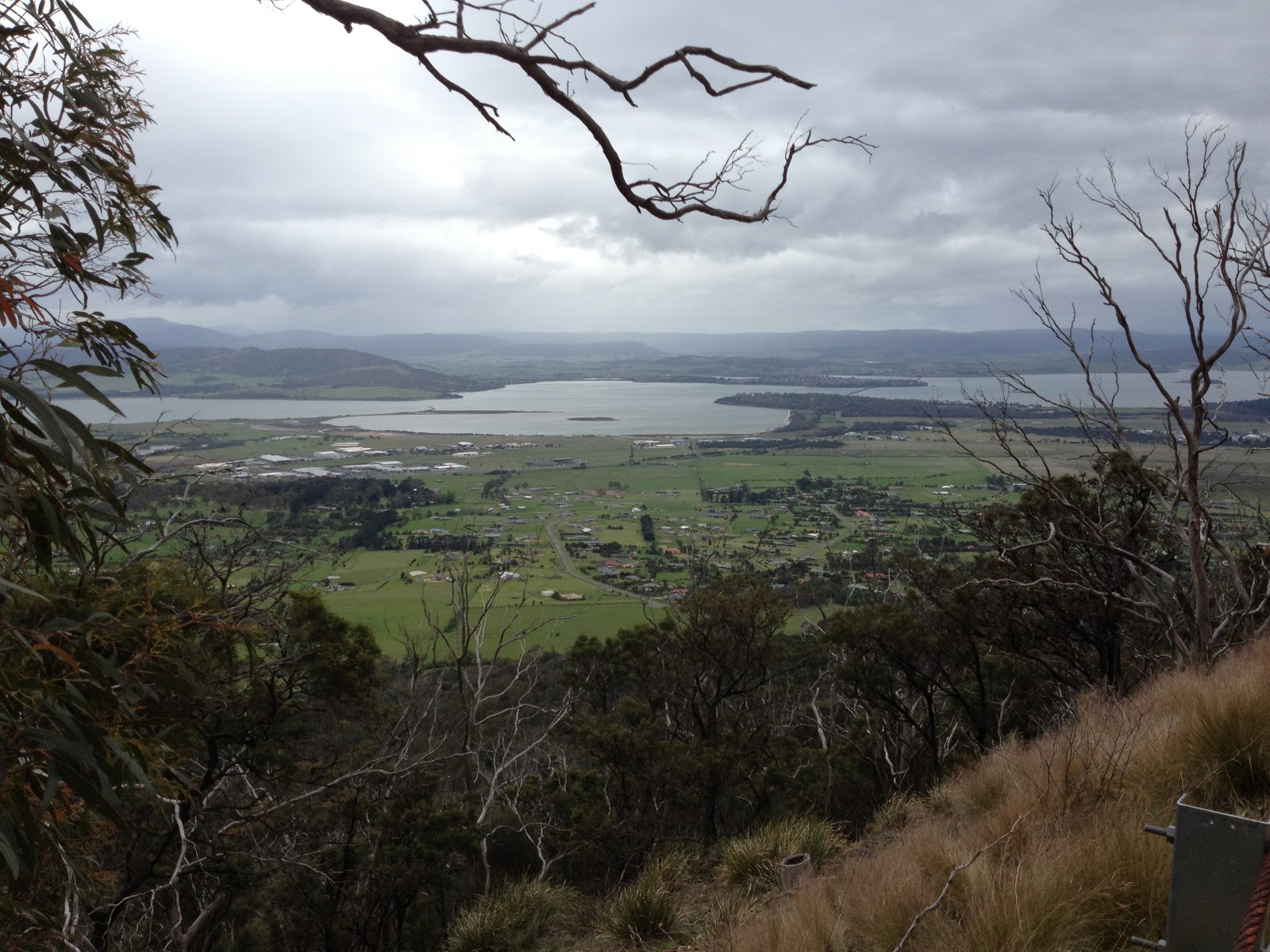
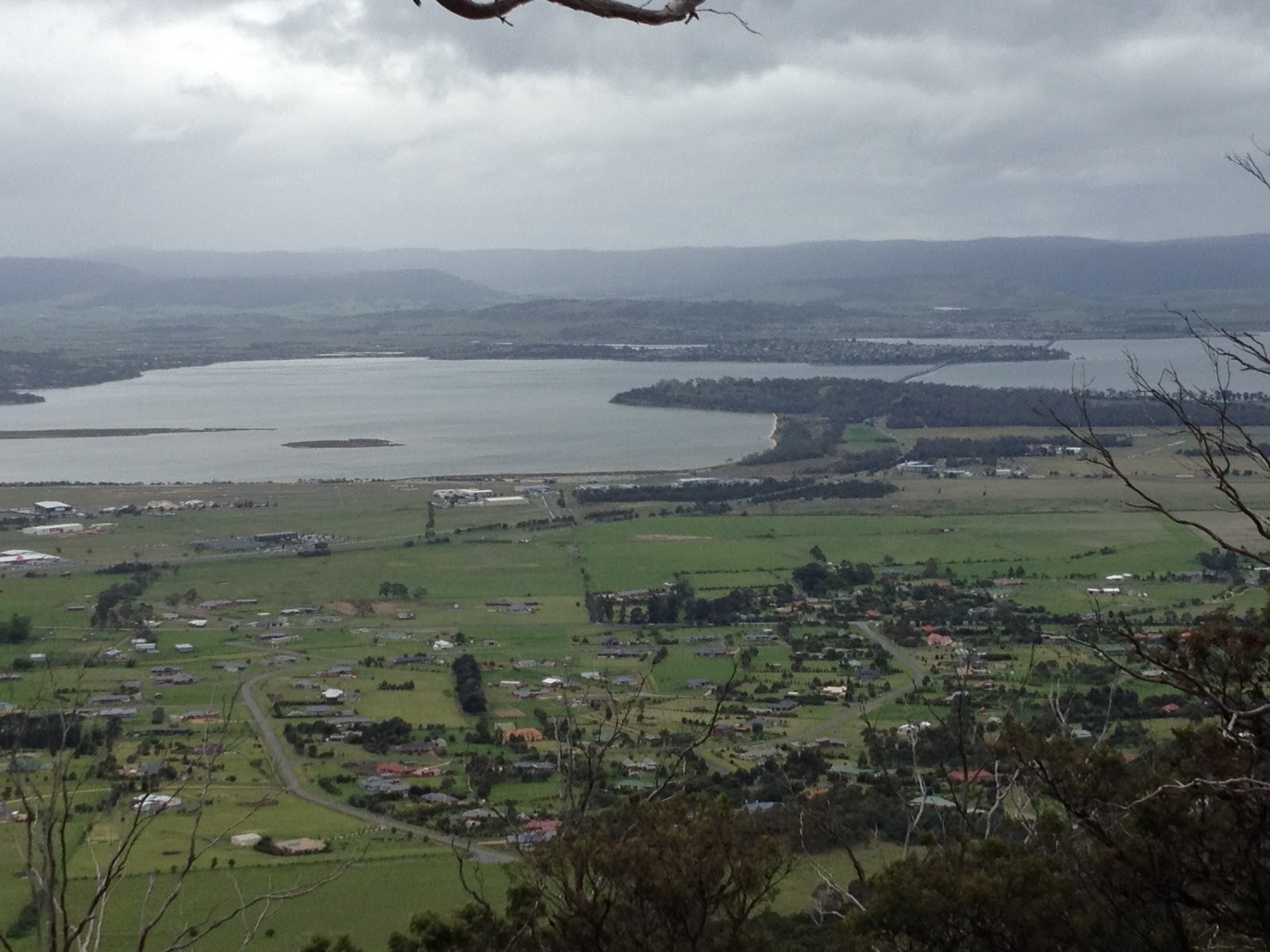
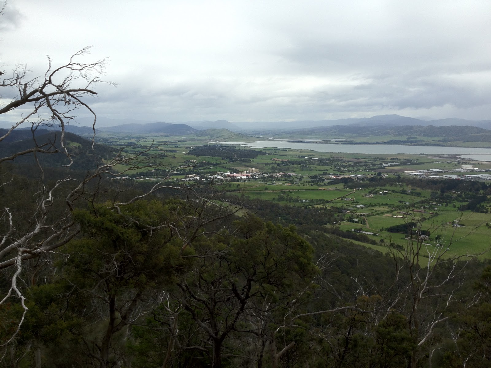
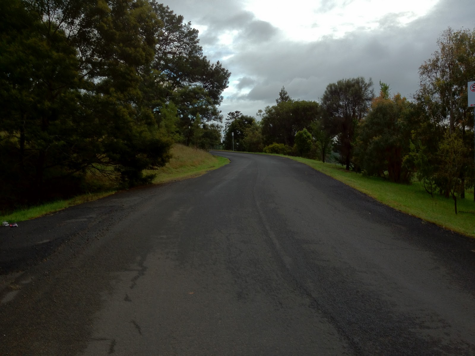
As I said above, the best features of Nelson Rd are the seven hairpin bends, which make great waypoints on the climb. Although after Bend 4 one starts to lose track and there’s always a bend or two more than you hope! In future years, no doubt these will be commemorated with the names of famous cyclists who have conquered this climb. I think I’d like to have Bend 3 (pictured above); you can claim one of the other ones.
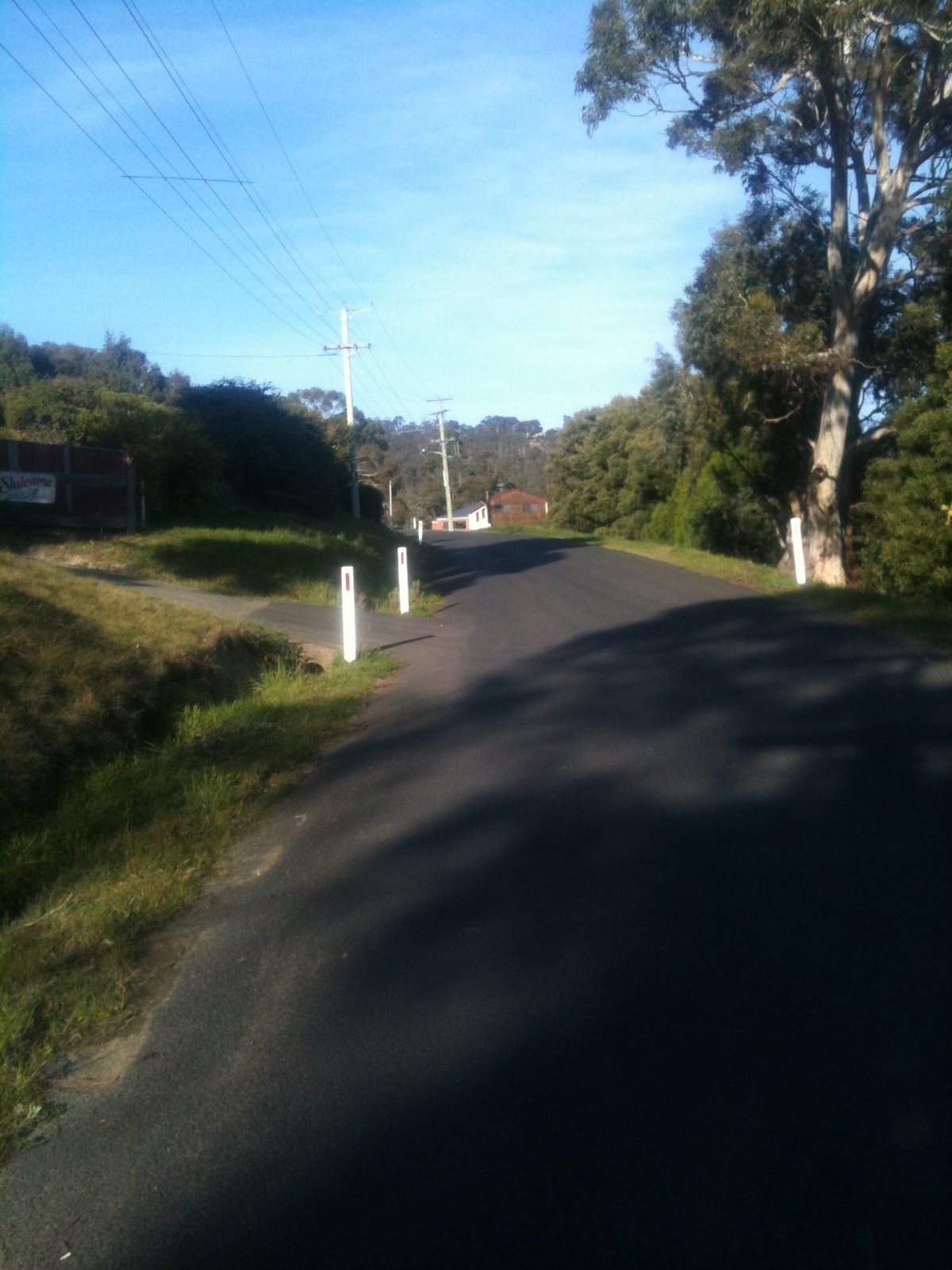
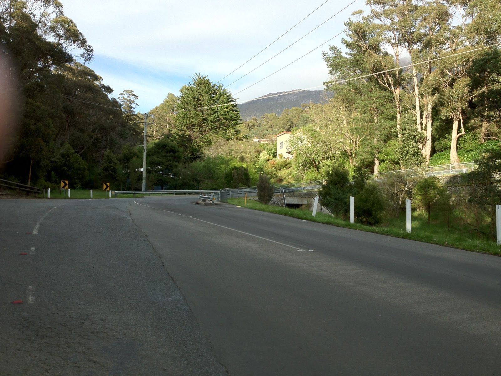
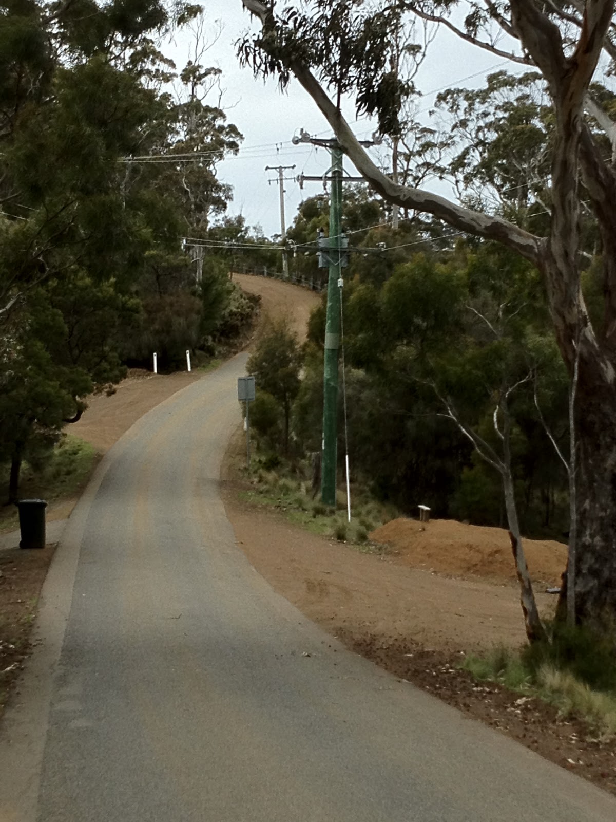
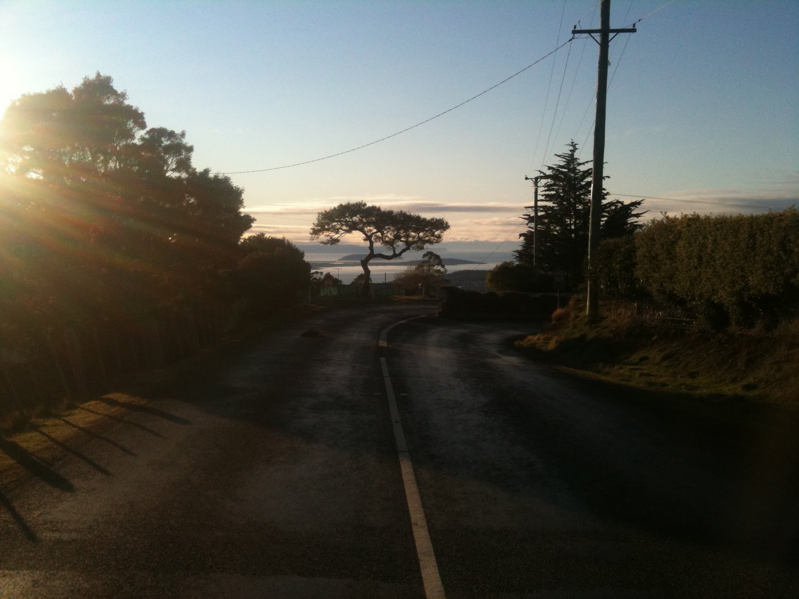
After the seventh bend, marked by two big water tanks, you crest onto the “plateau” of the hill and follow the climb, which continues at the same gradient, albeit without all the zigzagging, to the finish at the intersection with Olinda Grove. This section of the climb is not very interesting but you will need to keep the power on all the way to the very end if you want to take the KOM in Strava! (I should mention that the KOM is currently mine and I’d like to keep it that way, okay?)
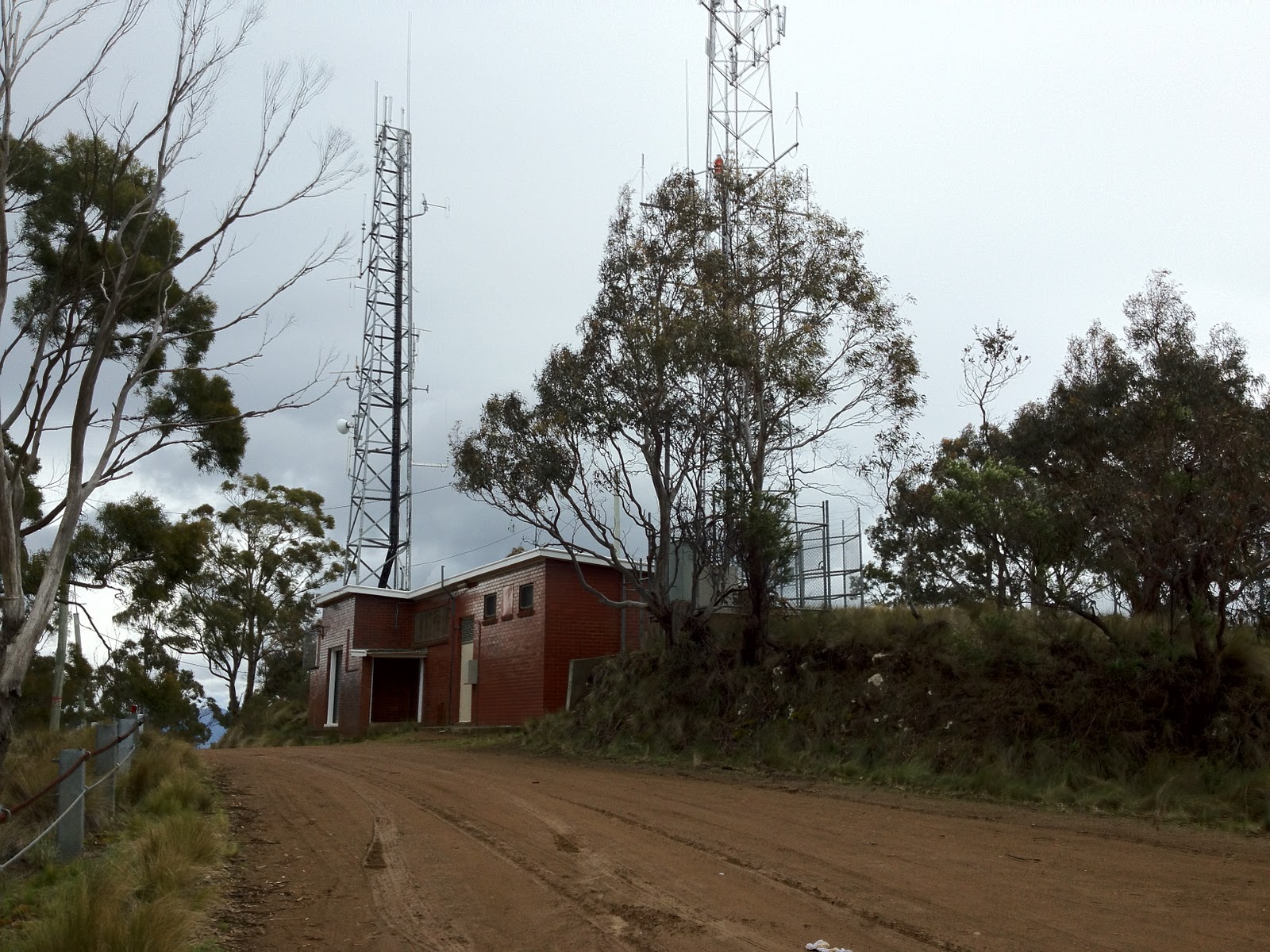
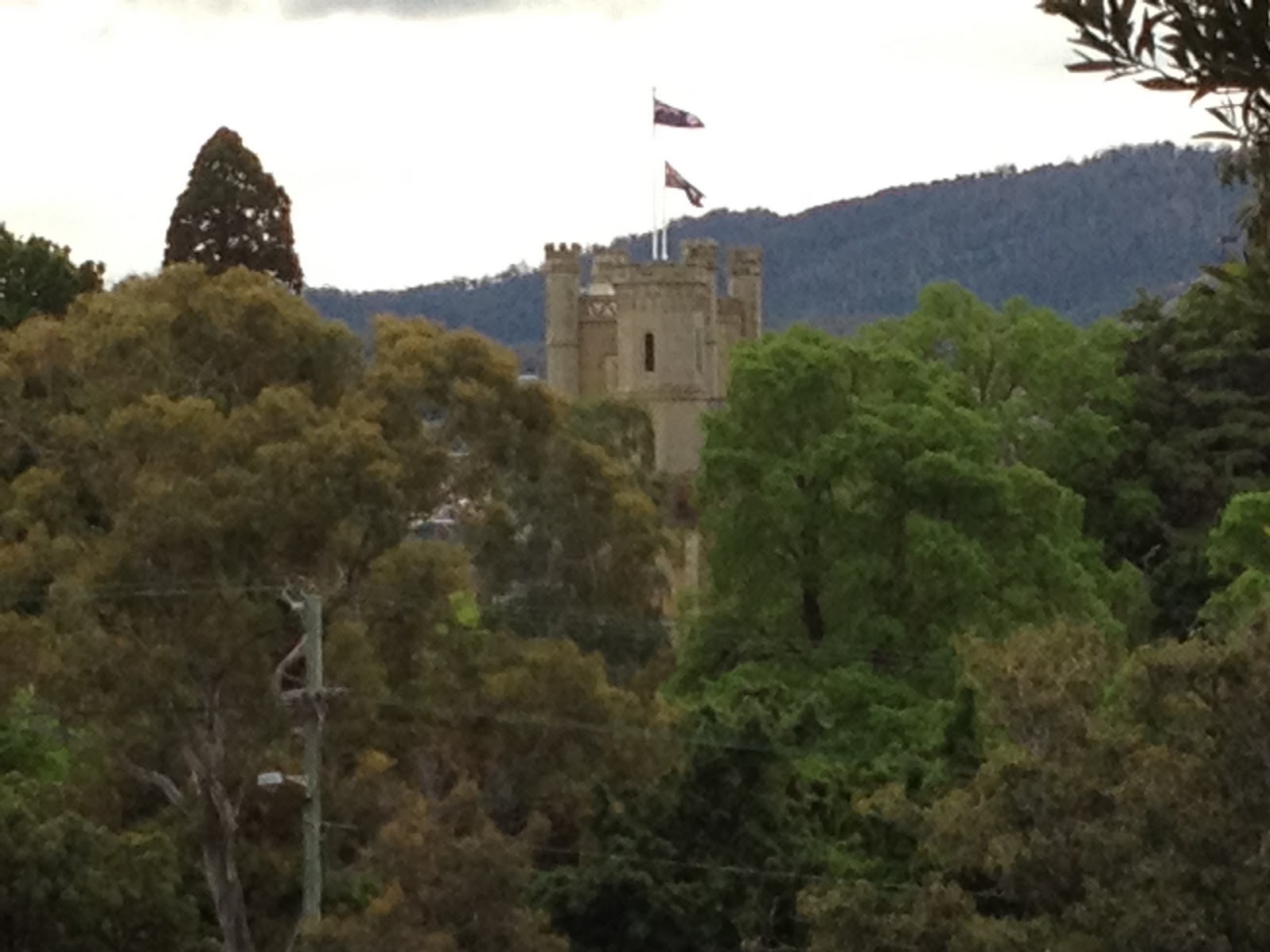
Take a left at the end to ride to Mt Nelson Signal Station for incredible views over south eastern Tasmania (definitely recommended) and coffee. Turn right to take the quick way down on Proctor’s Rd. Or if you are crazy, down the Southern Outlet.
Your Challenge: ride 3 repeats in a lunch break
The next post describes a climb with a very different feel…
| Nelson Rd |
| Distance |
3.9km |
| Category |
3 |
| Elevation |
232m |
| Gradient |
6% |
| Maximum Gradient |
10% |
| Time from city |
10 minutes |
| Traffic |
medium (watch for buses) |
| Strava |
http://app.strava.com/segments/628934 |
How to get to the climb: Take Davey St south, and turn left onto Antill St, and follow Antill St/Regent St/Churchill Ave through the University. Nelson Rd is on your right just after the University. |
 |
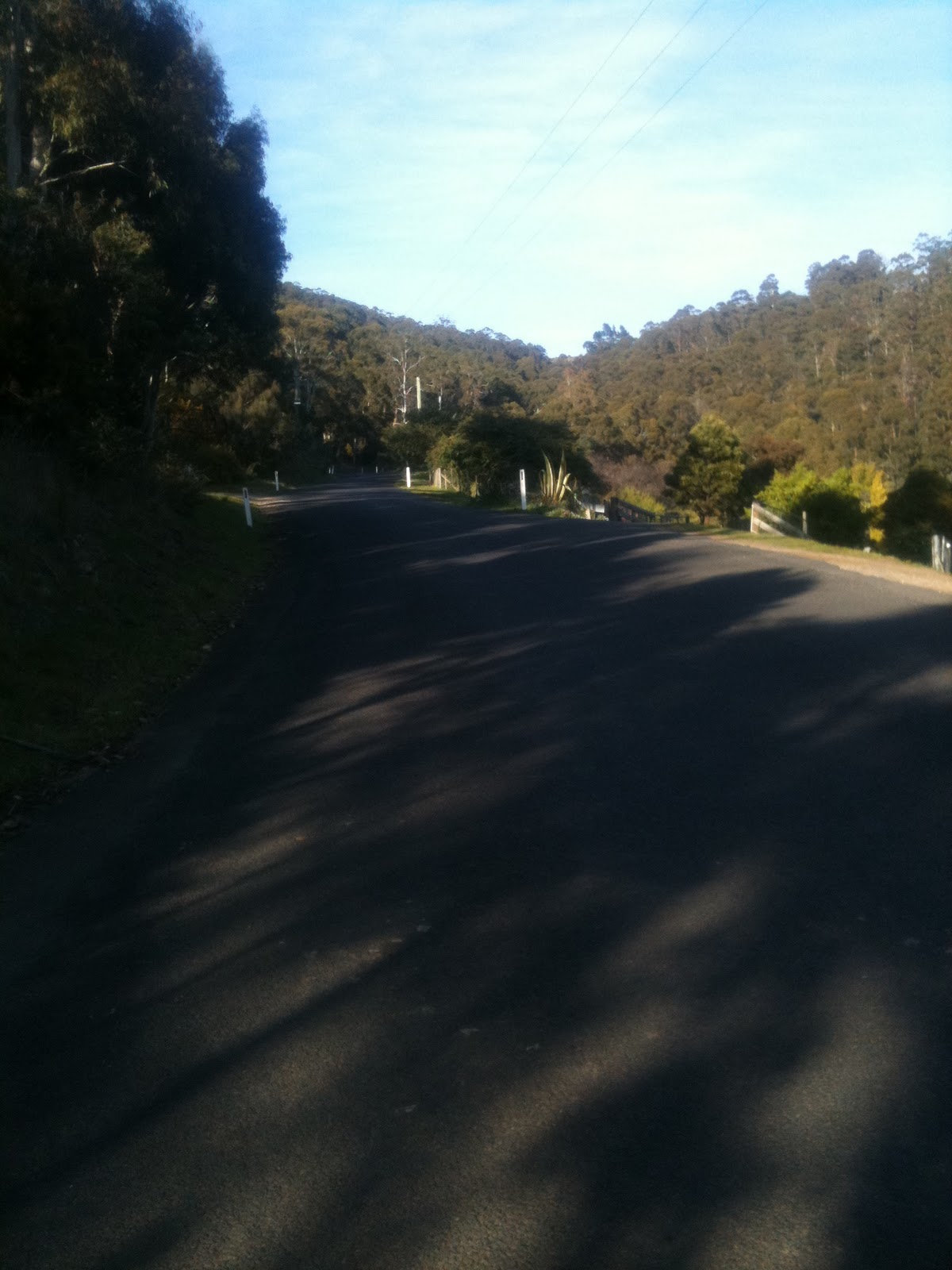
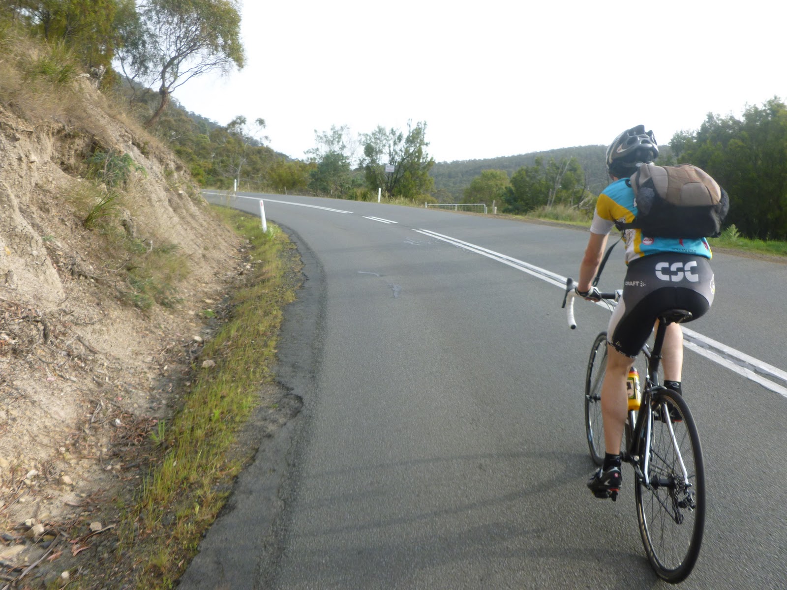
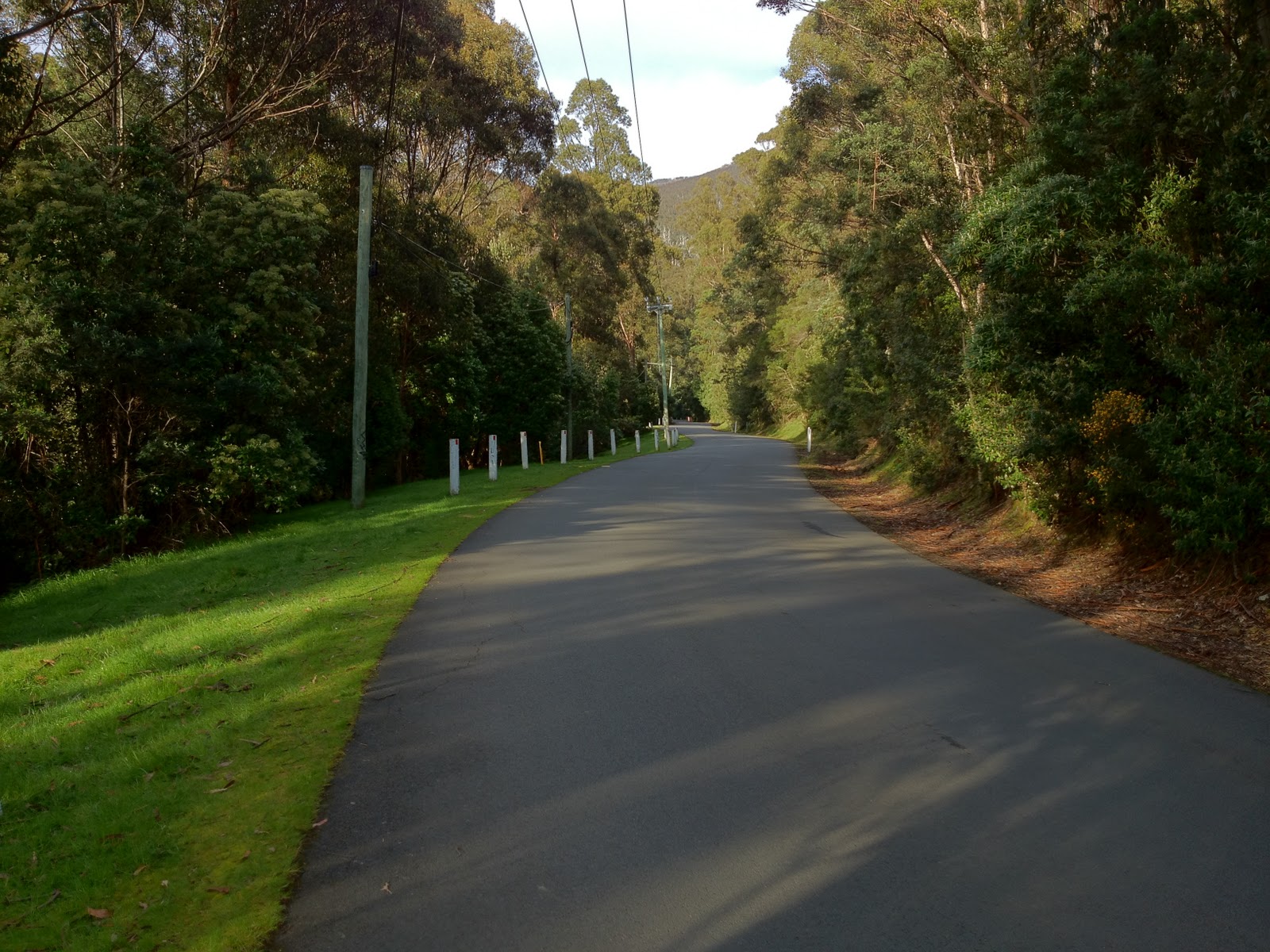
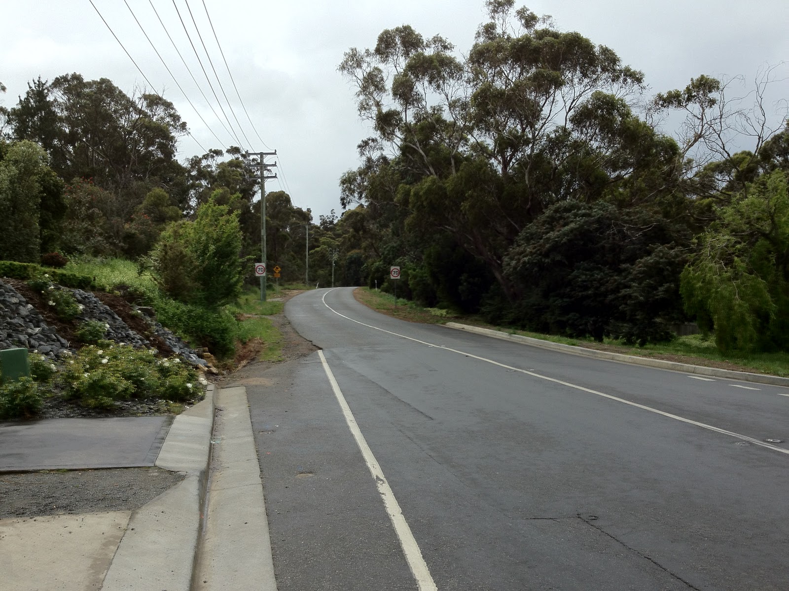
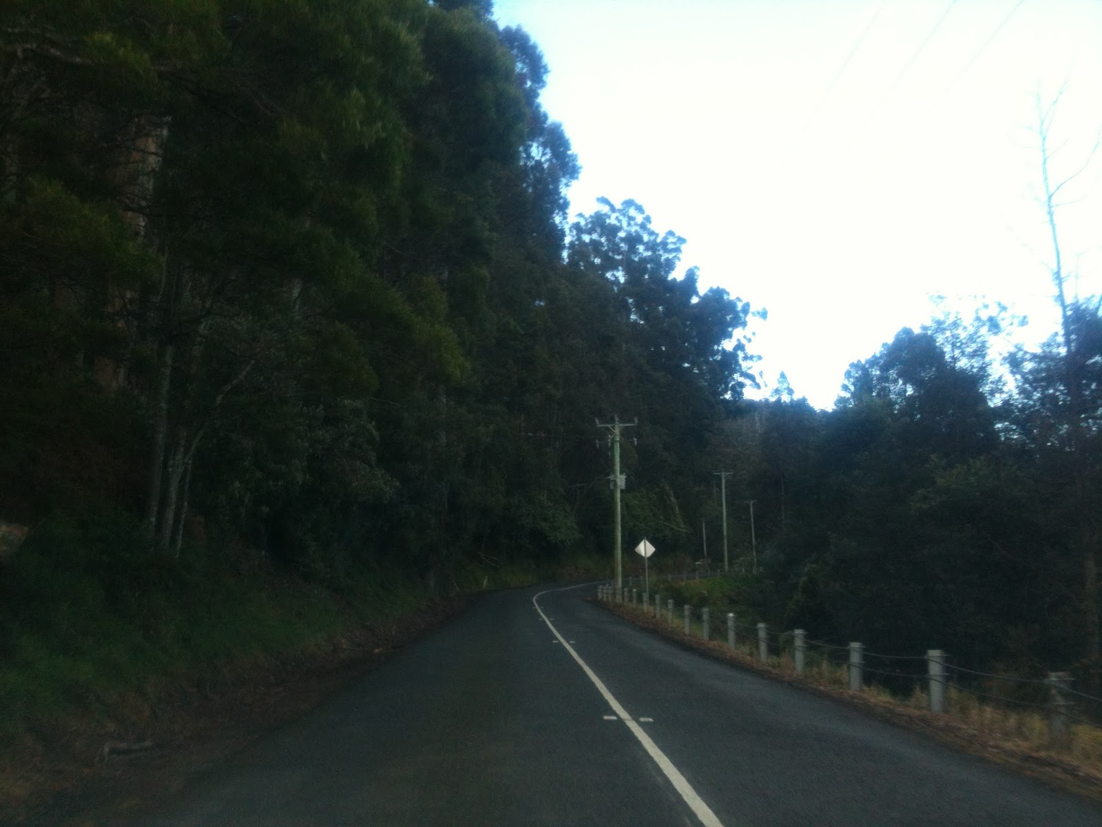
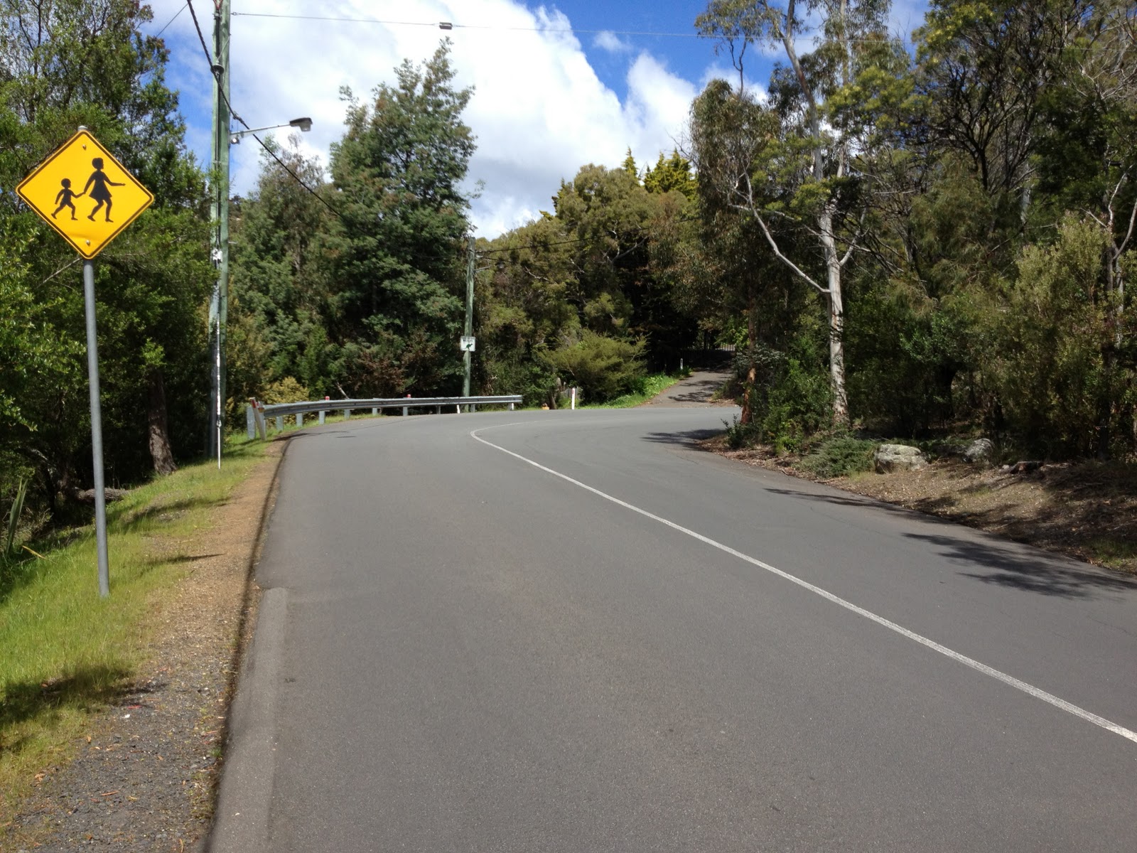
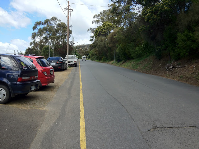
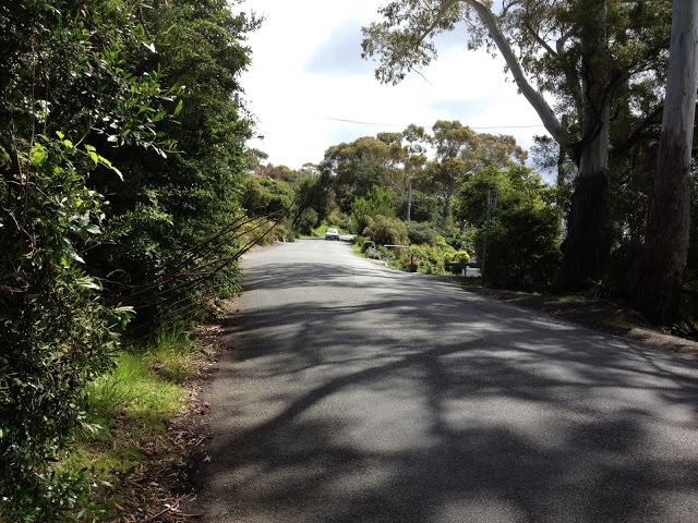
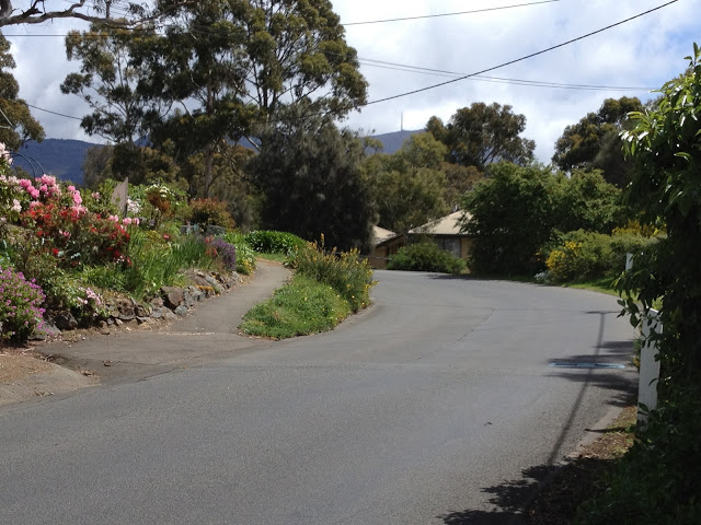
| Nelson Rd: the climb starts here. Bend 1 is immediately ahead |
 |
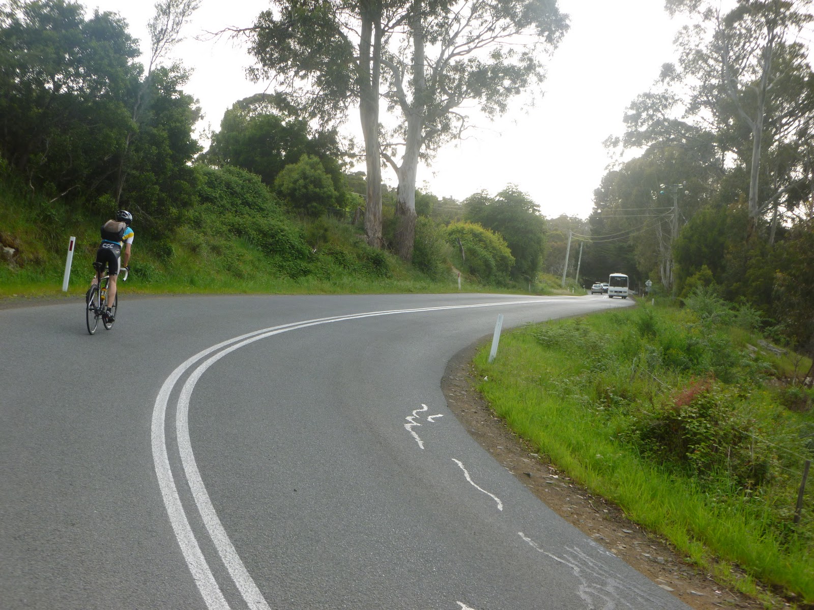
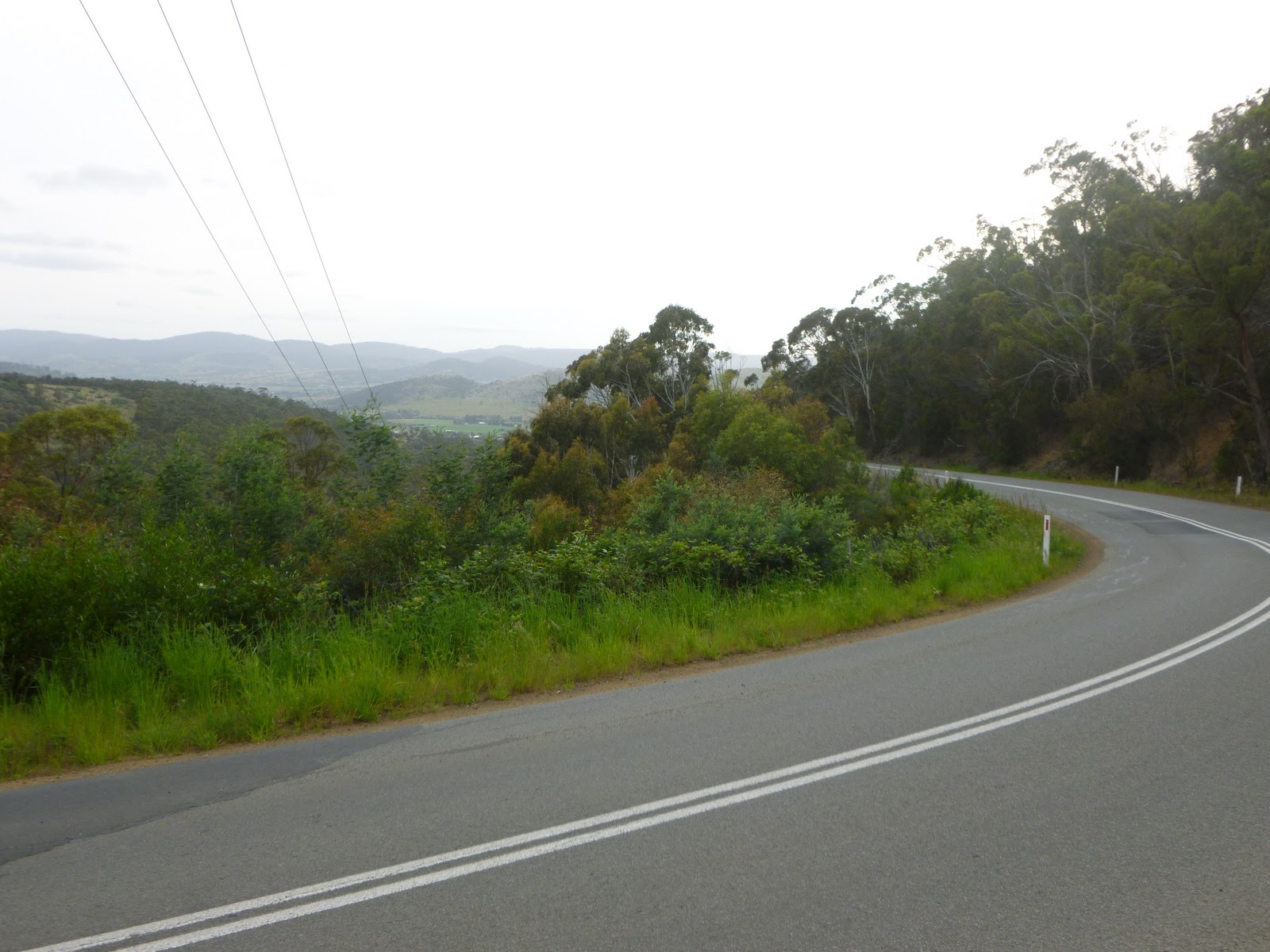
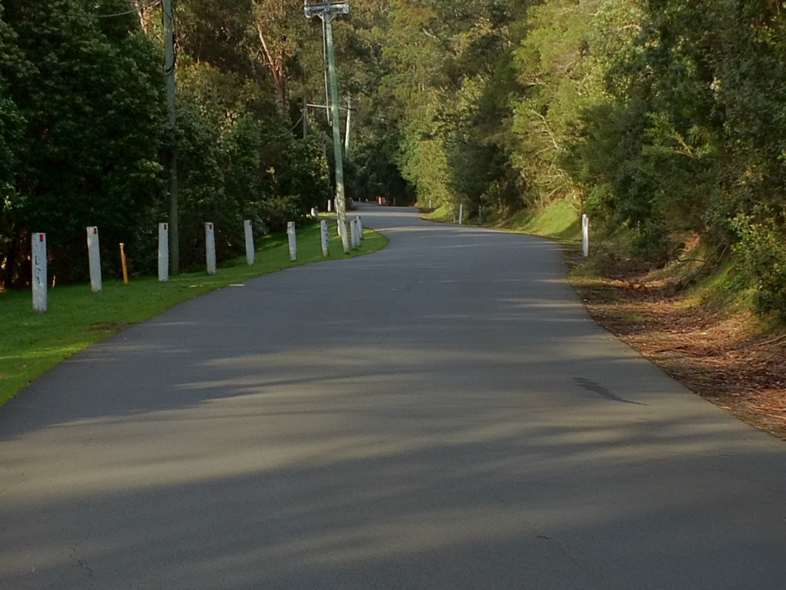
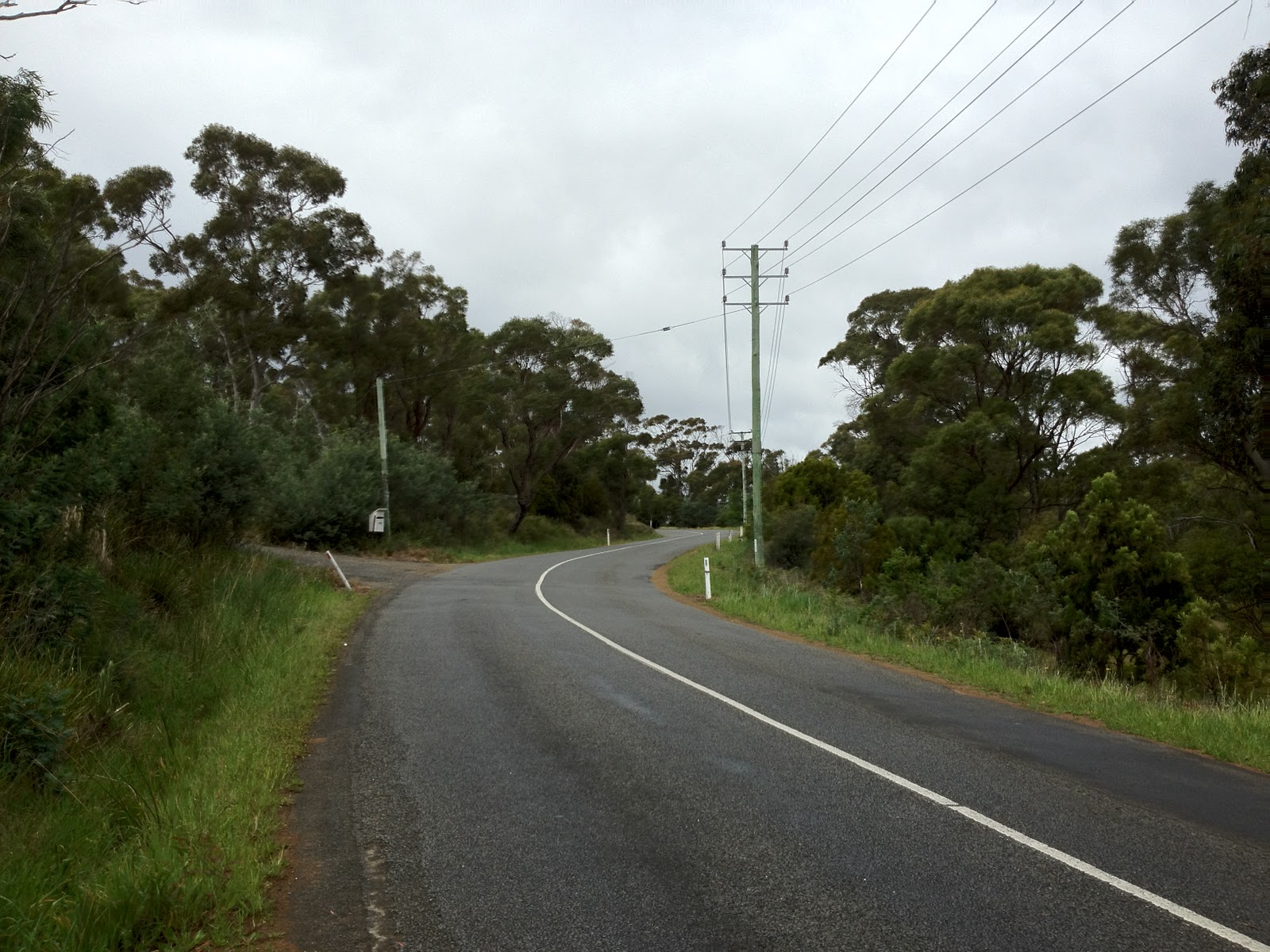
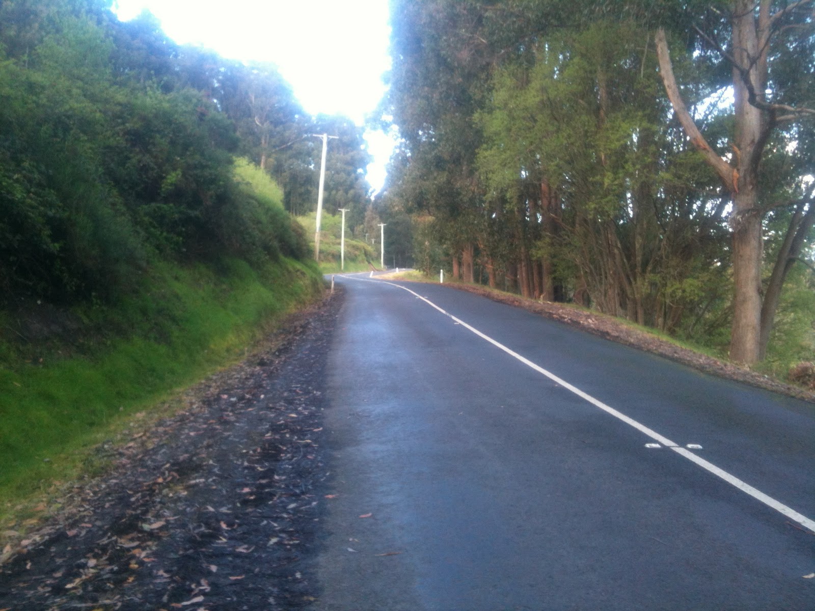
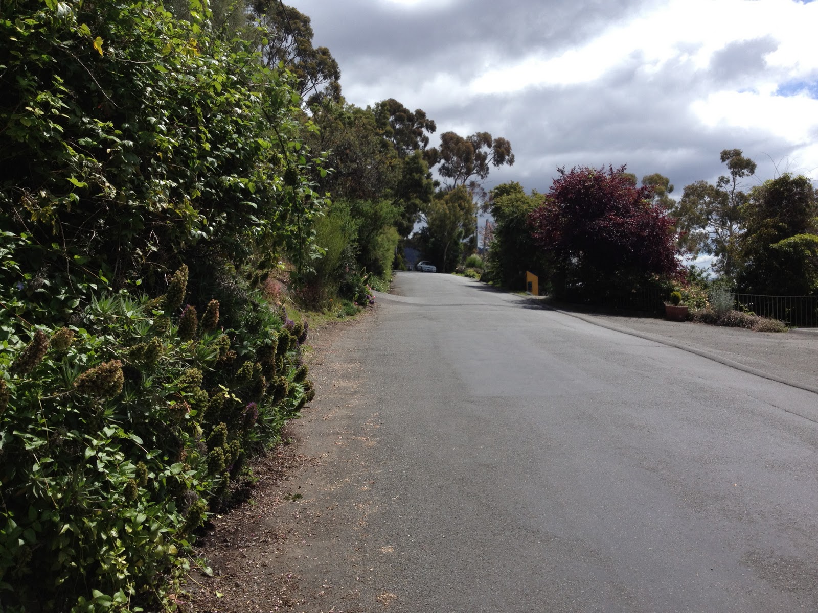
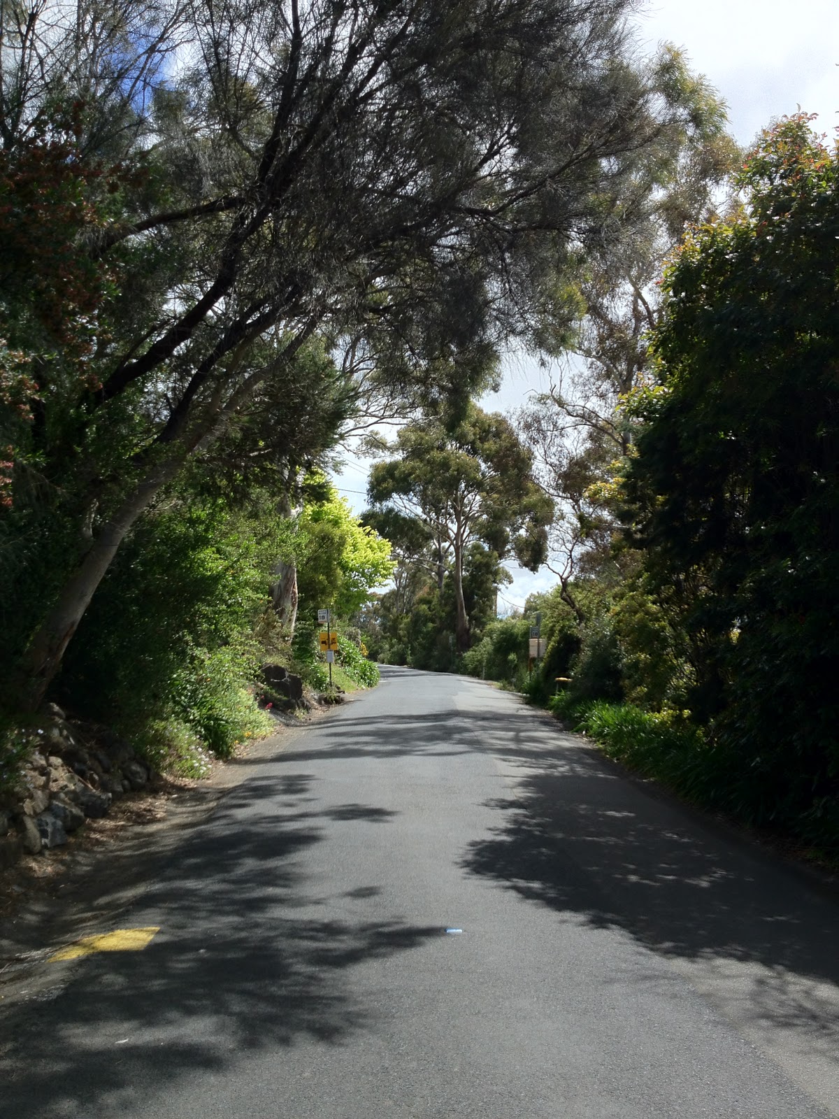
| Nelson Rd is made up of long straights, and … |
 |
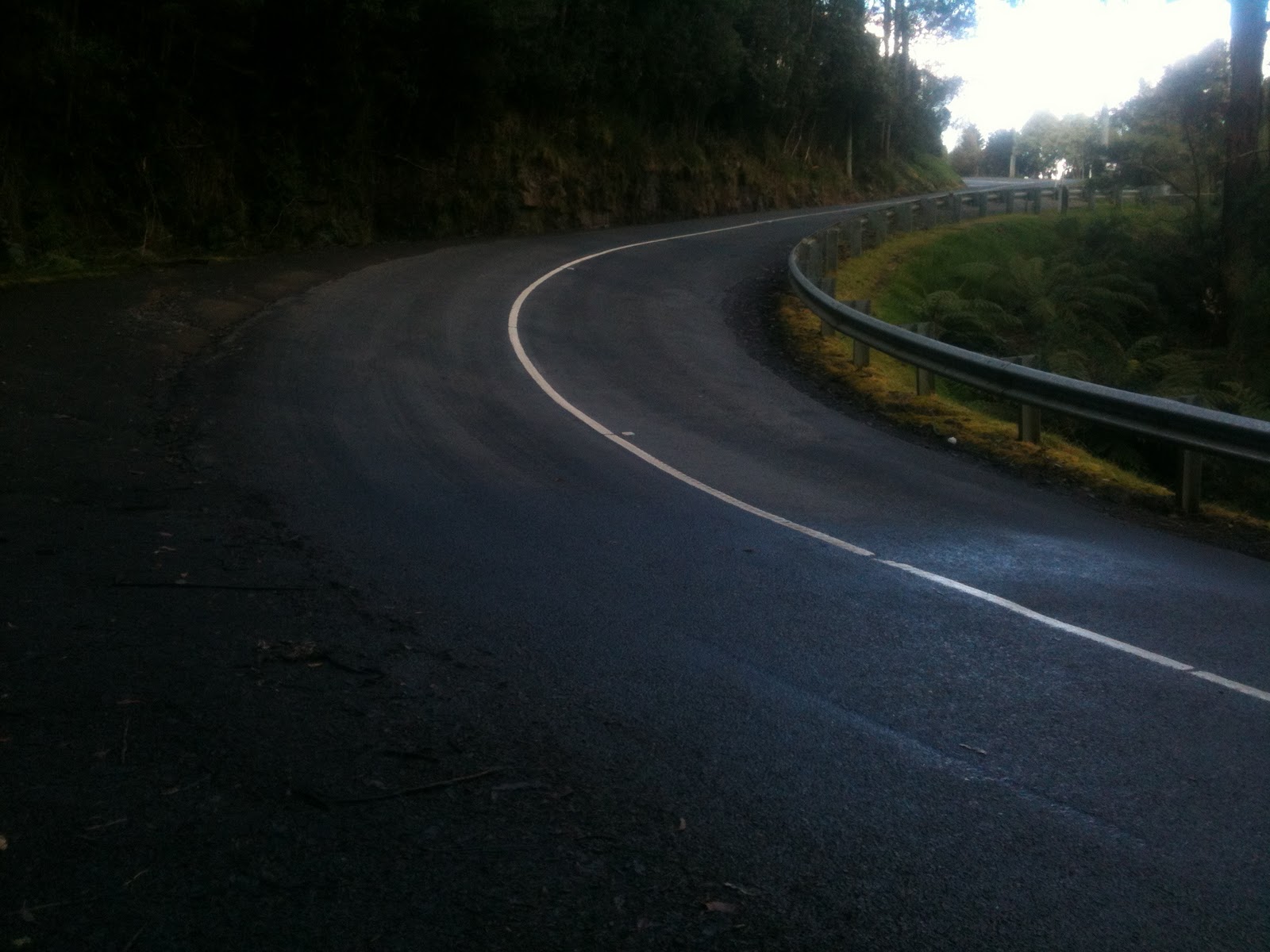
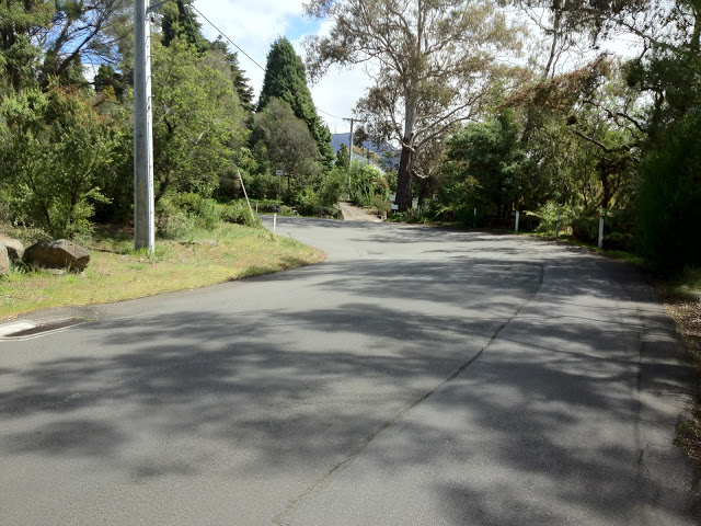
| … Hairpin bends. This is Bend 2 |
 |
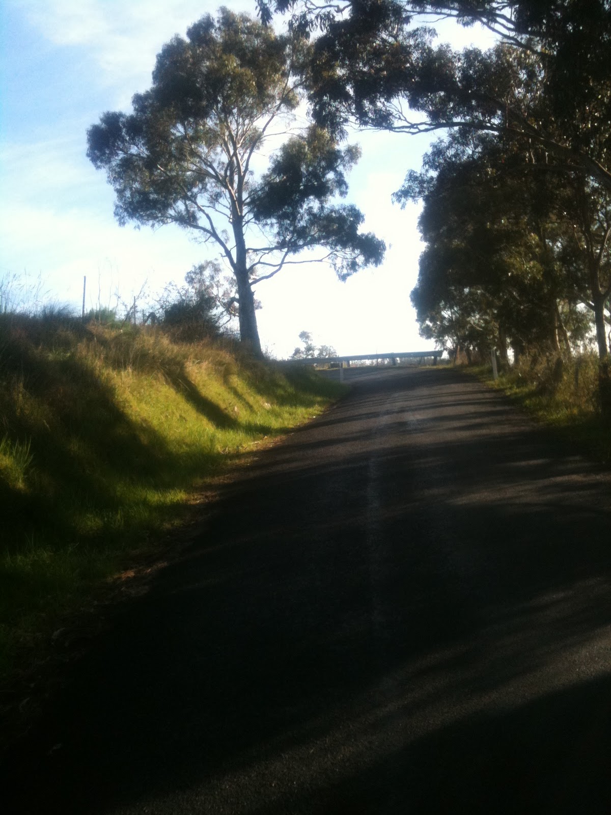
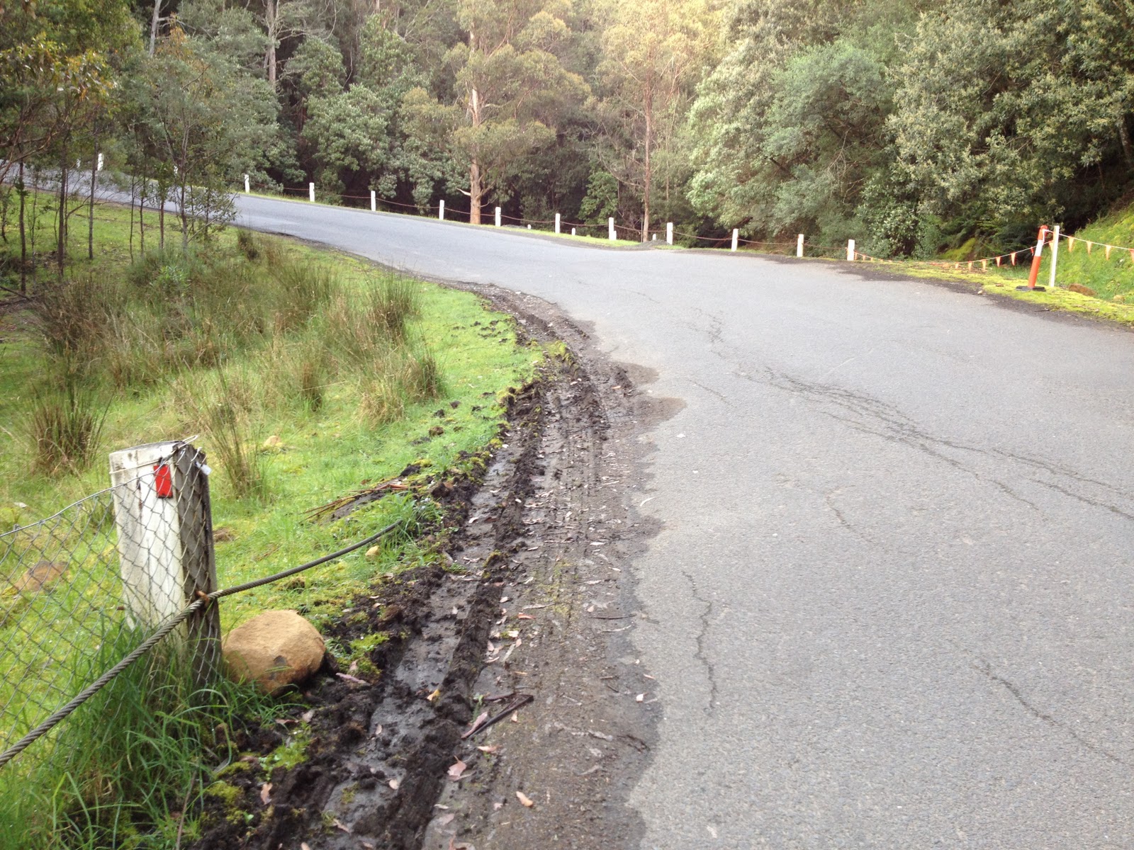
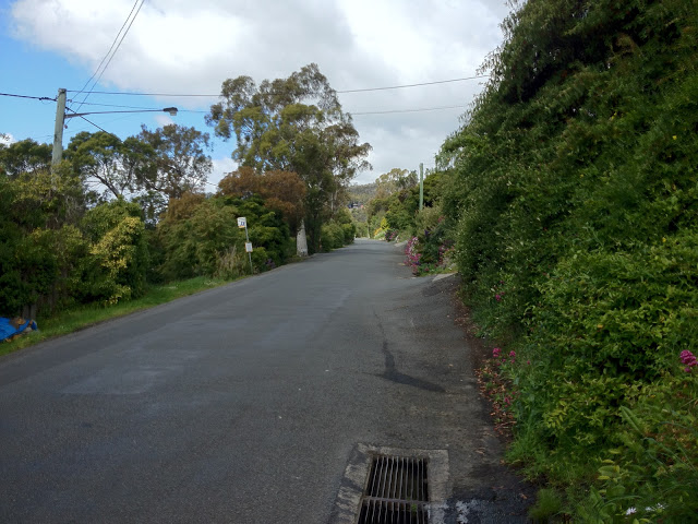
| Lumpy driveways to negotiate ahead |
 |
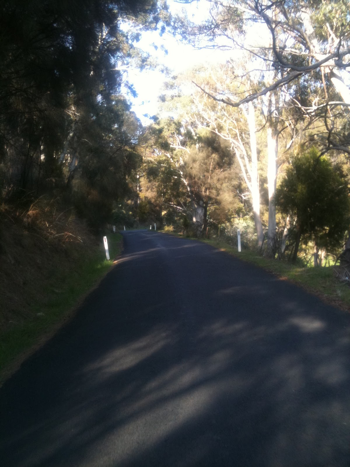
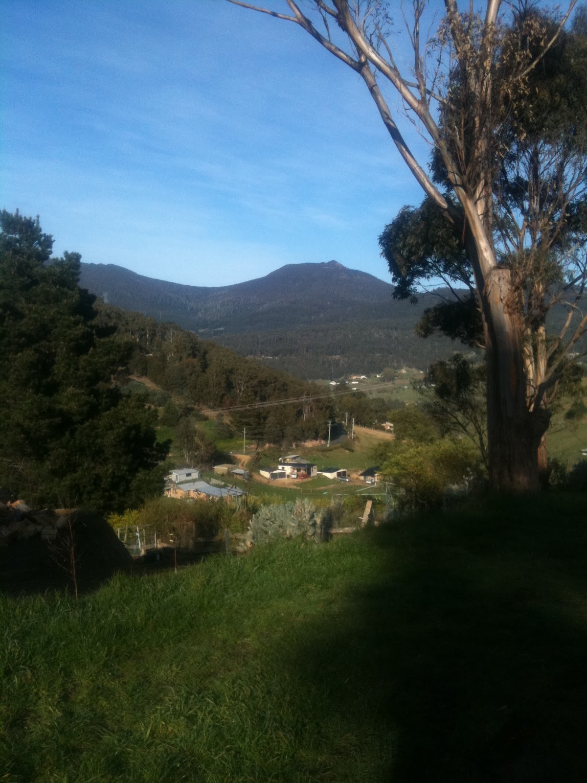
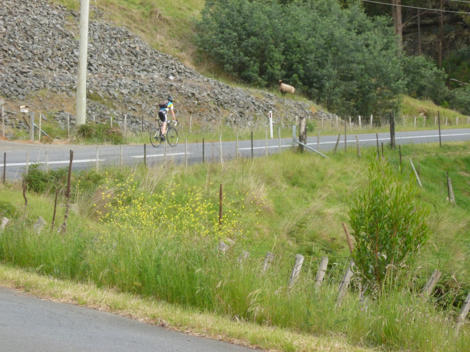
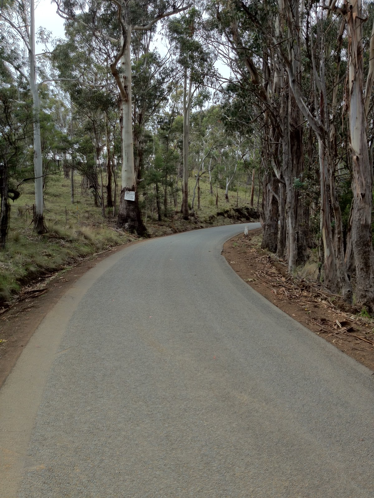
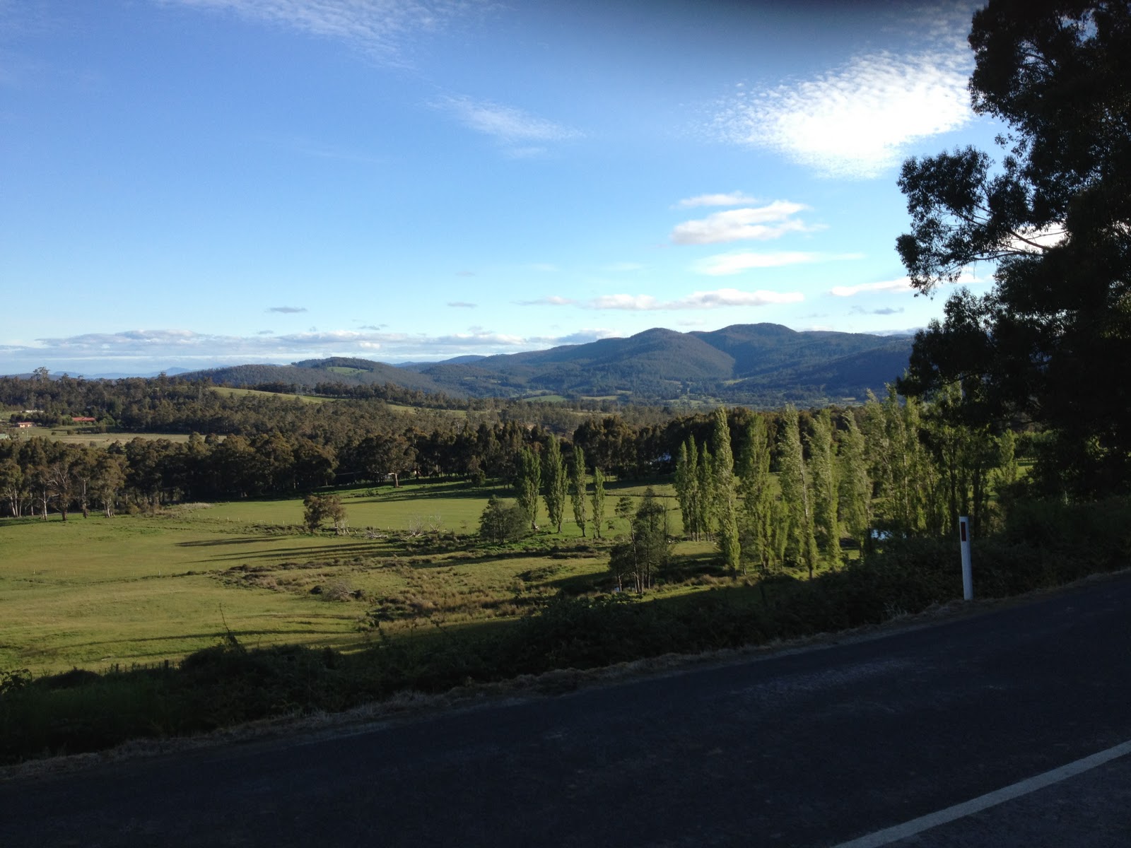
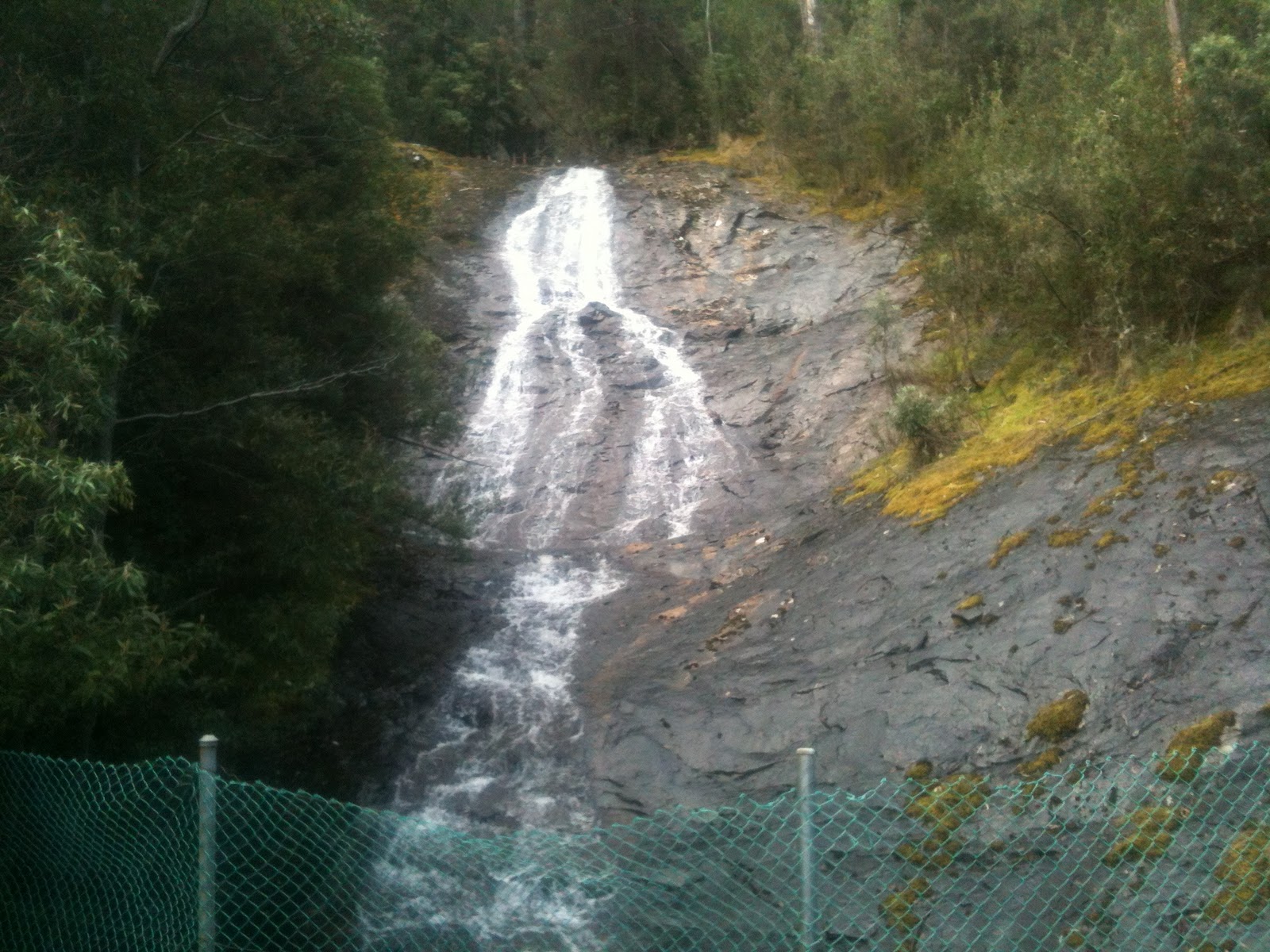
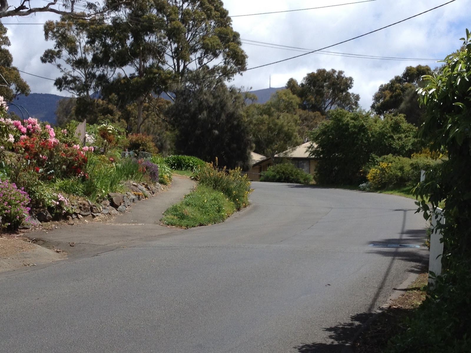
| Pleasant scenes on the climb |
 |
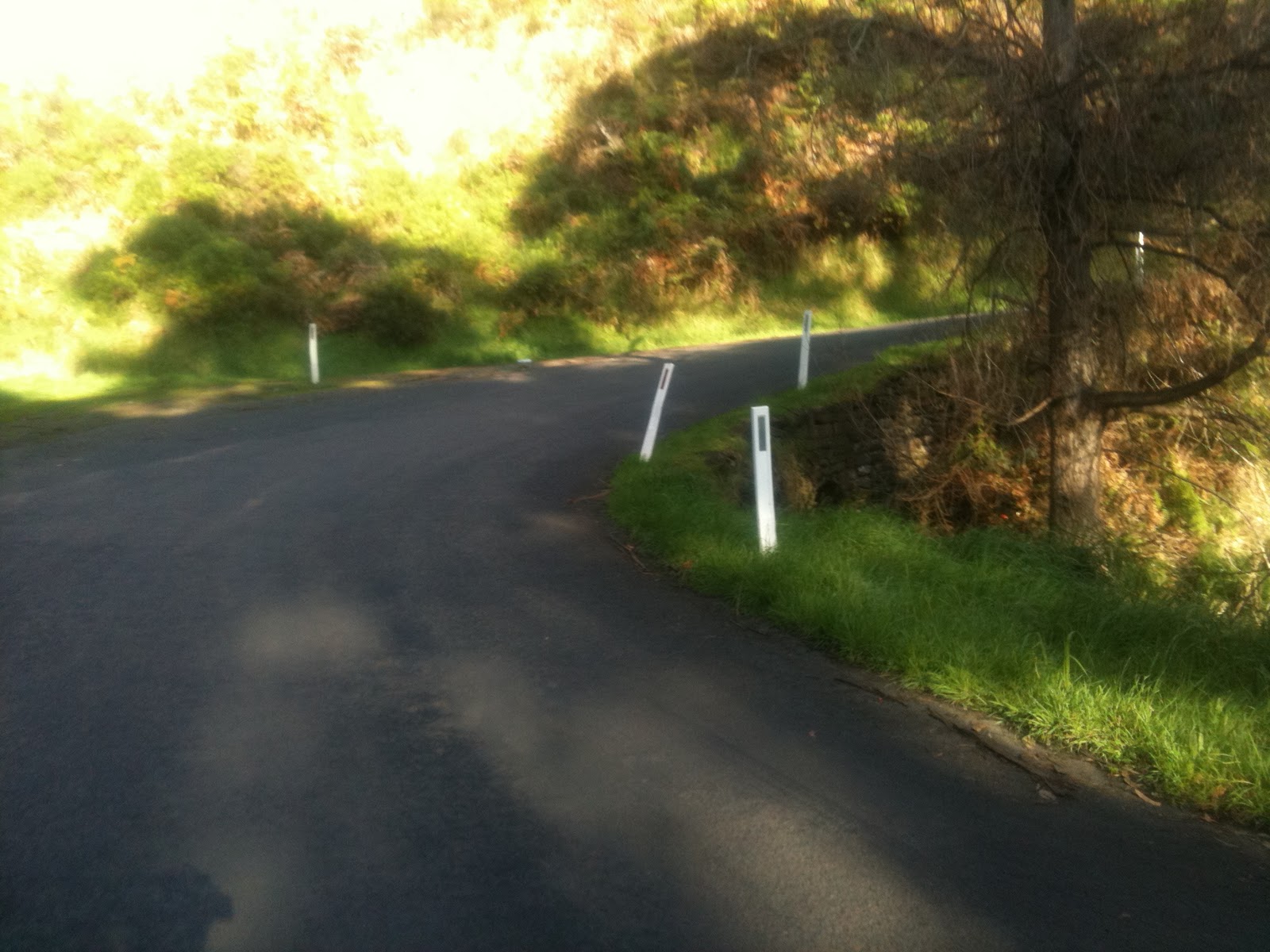
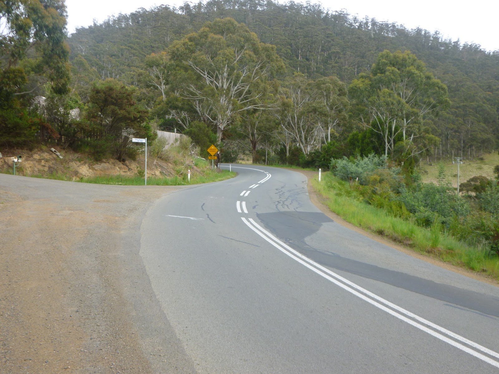
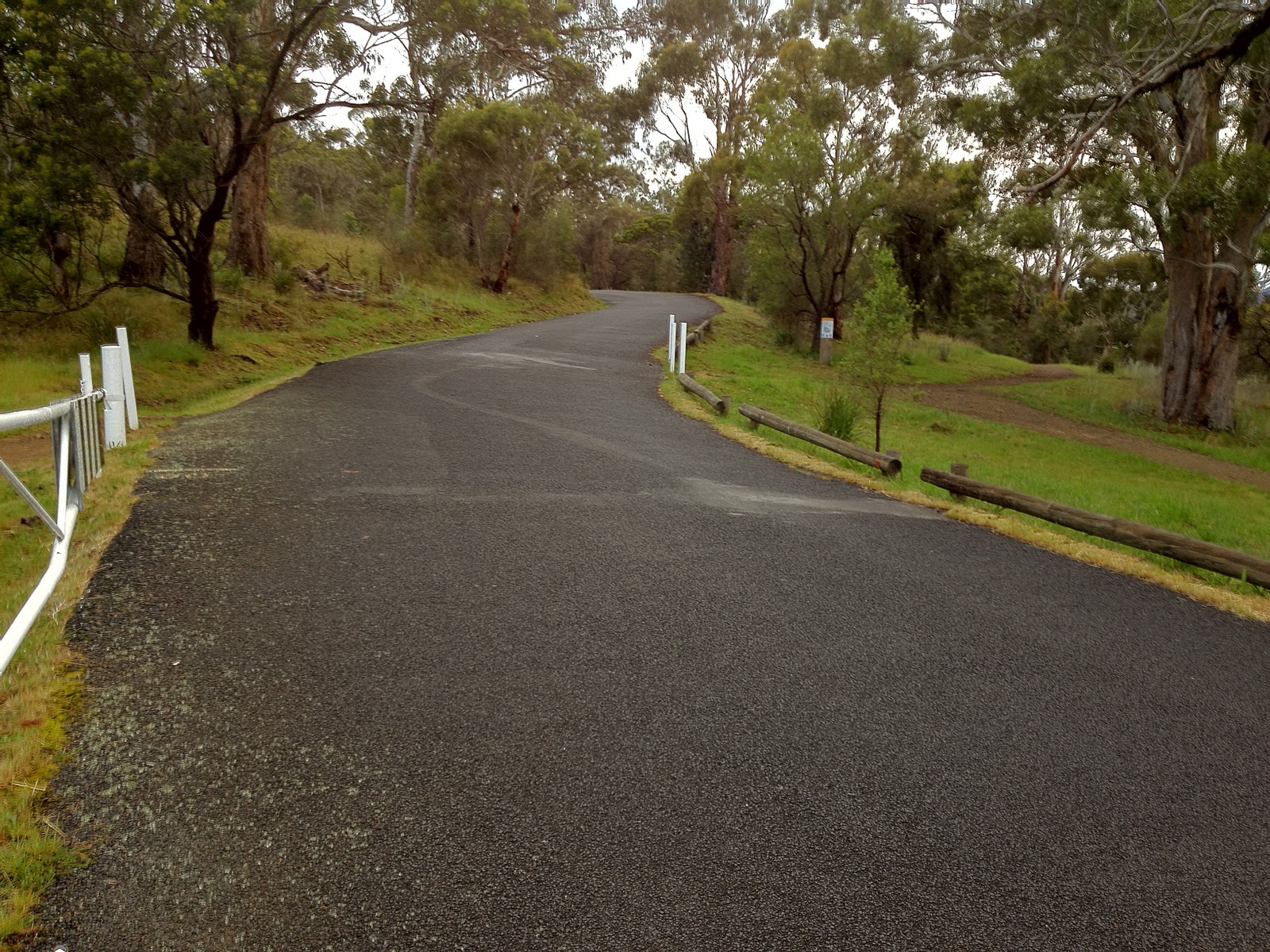
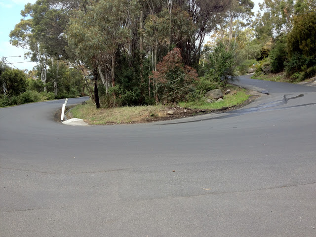
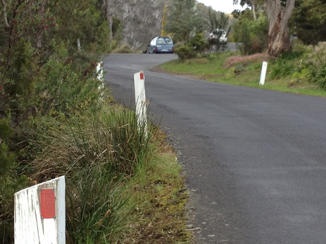
| Bend 3 |
 |
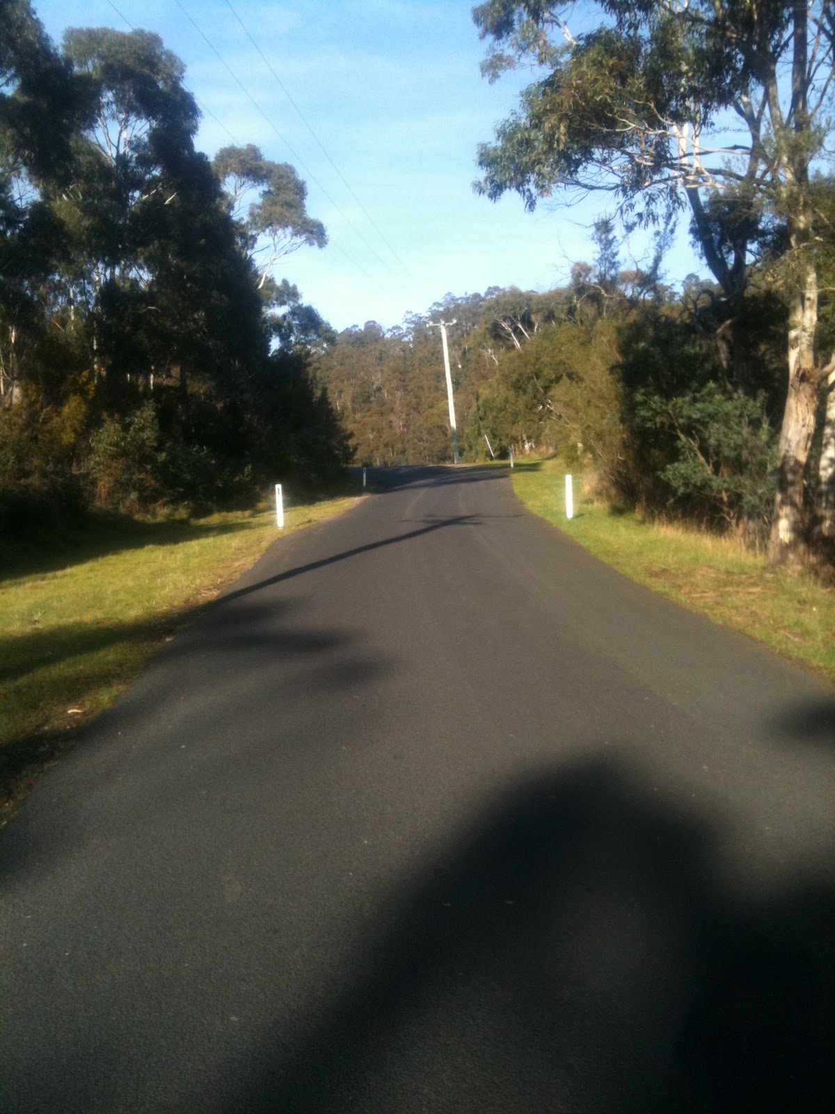
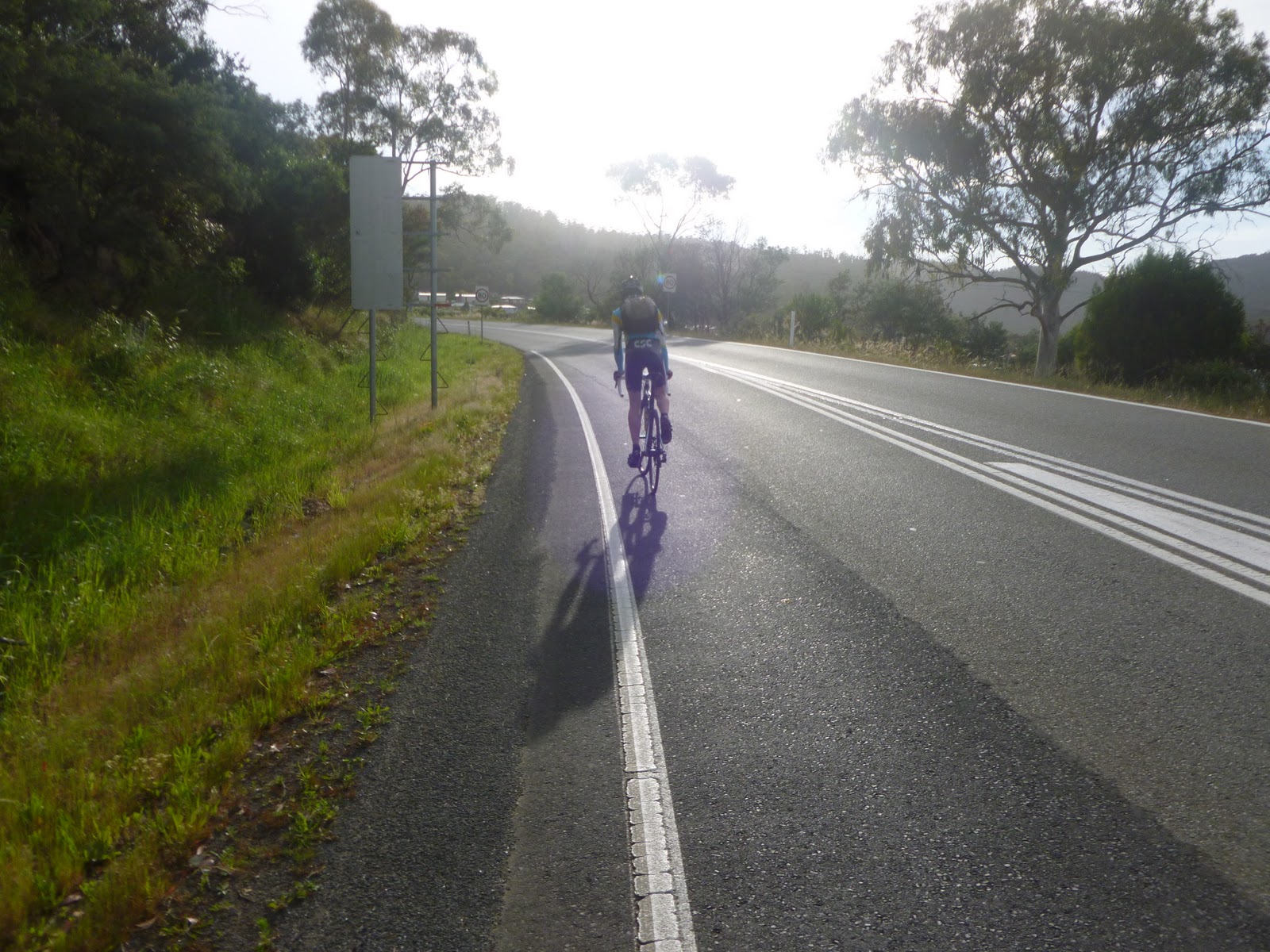
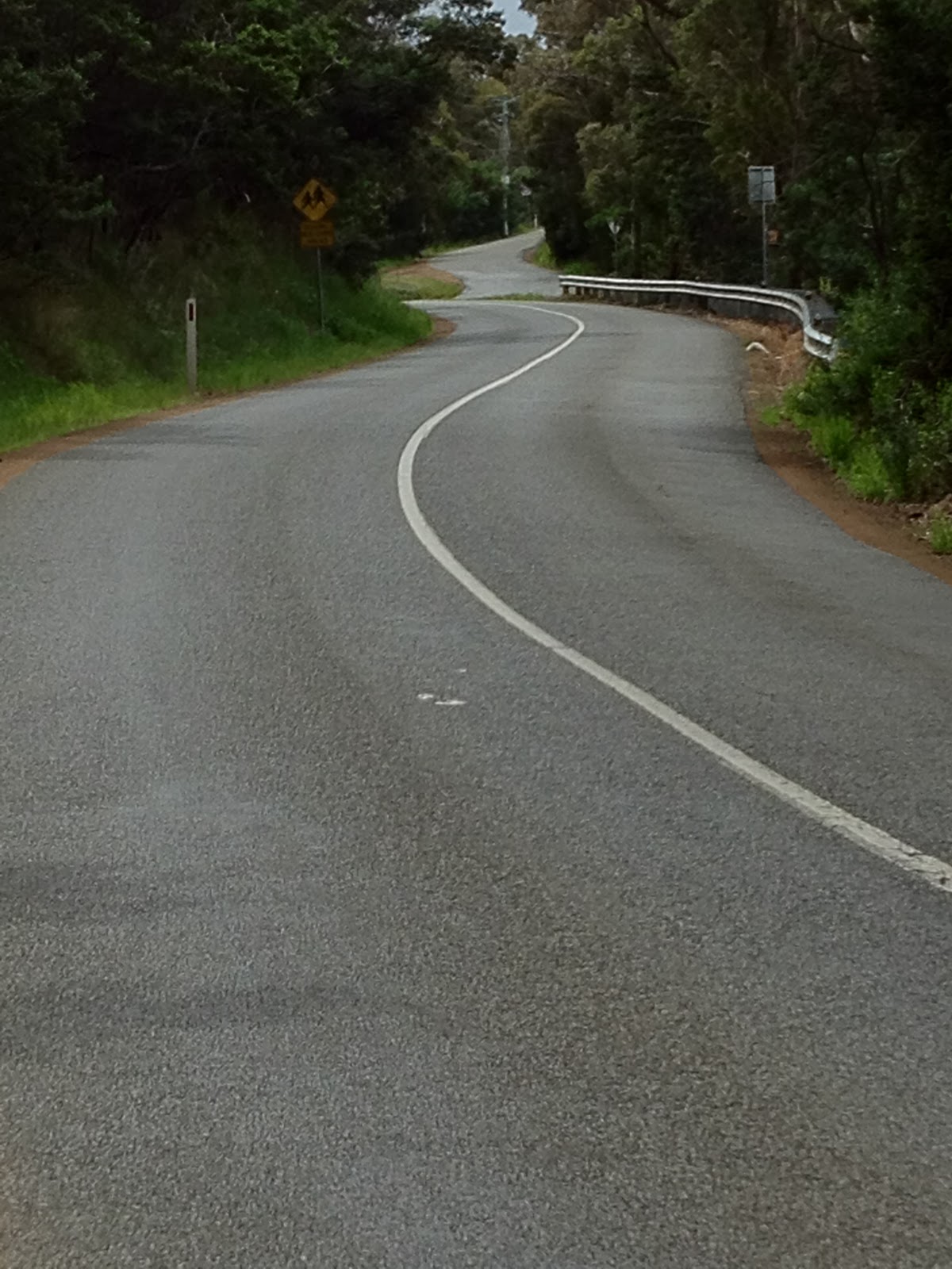
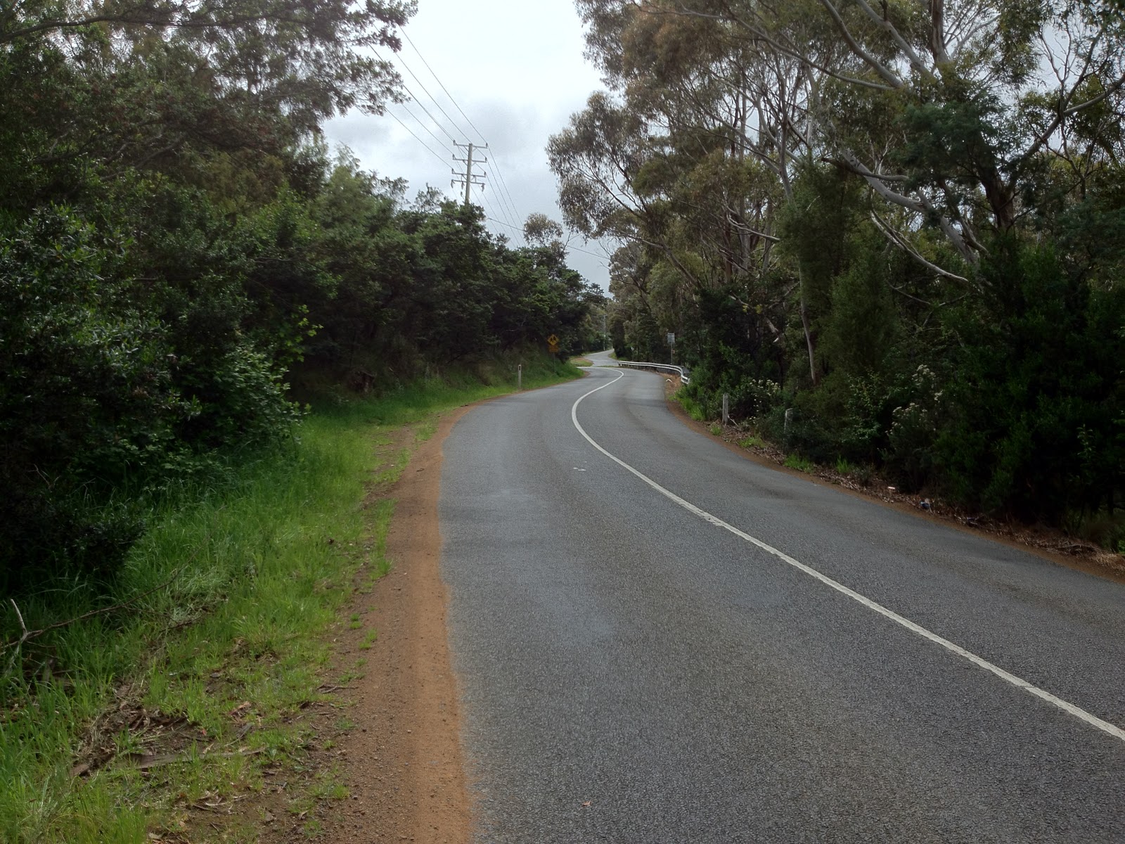
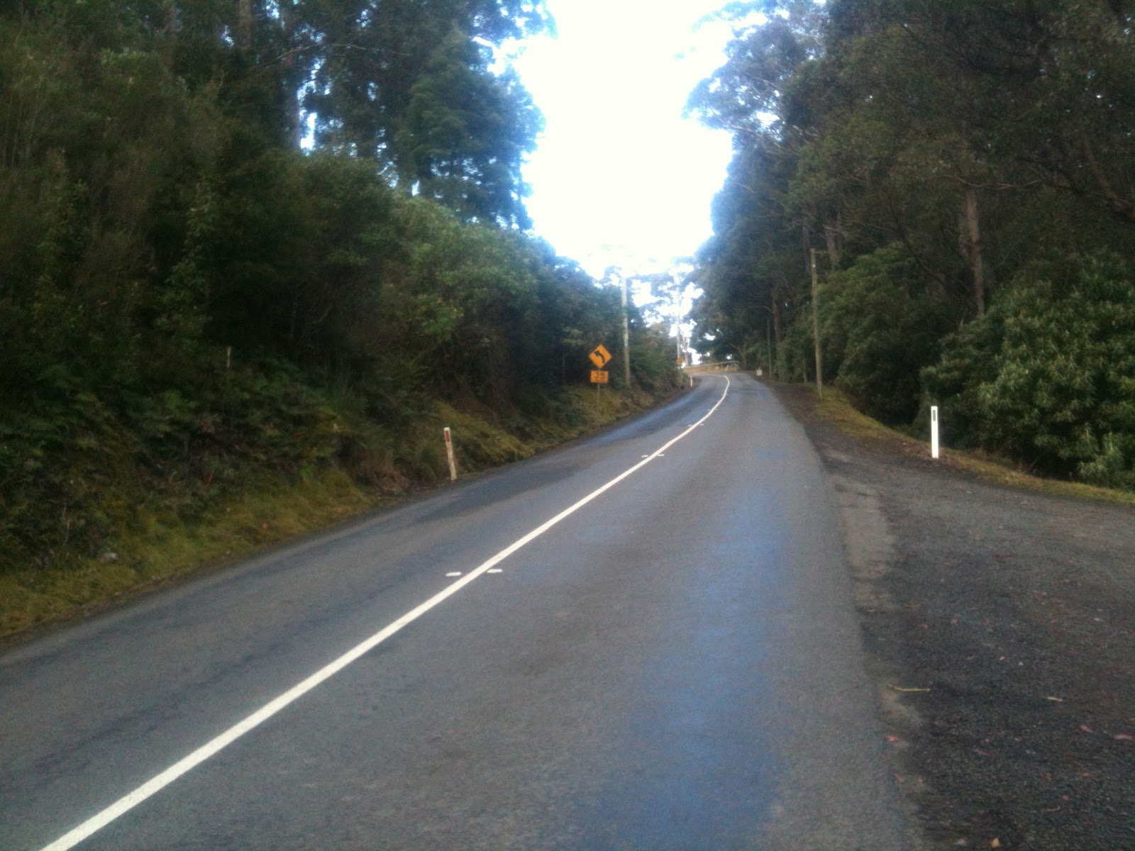
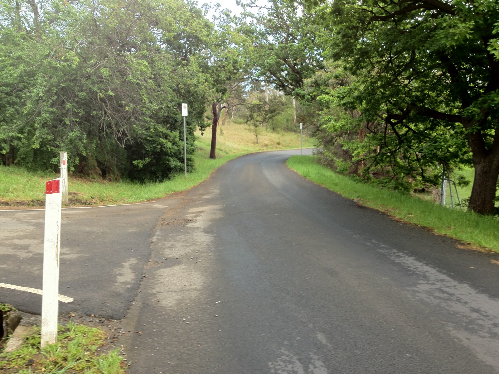
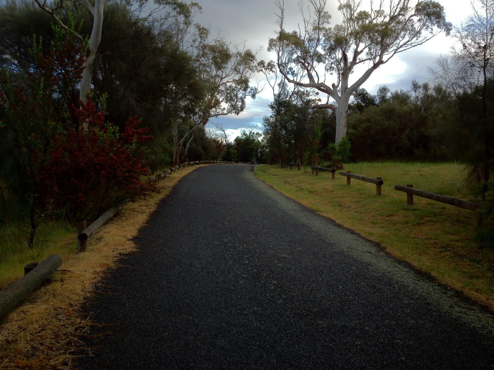
| And another long straight! Keep that tempo going |
 |
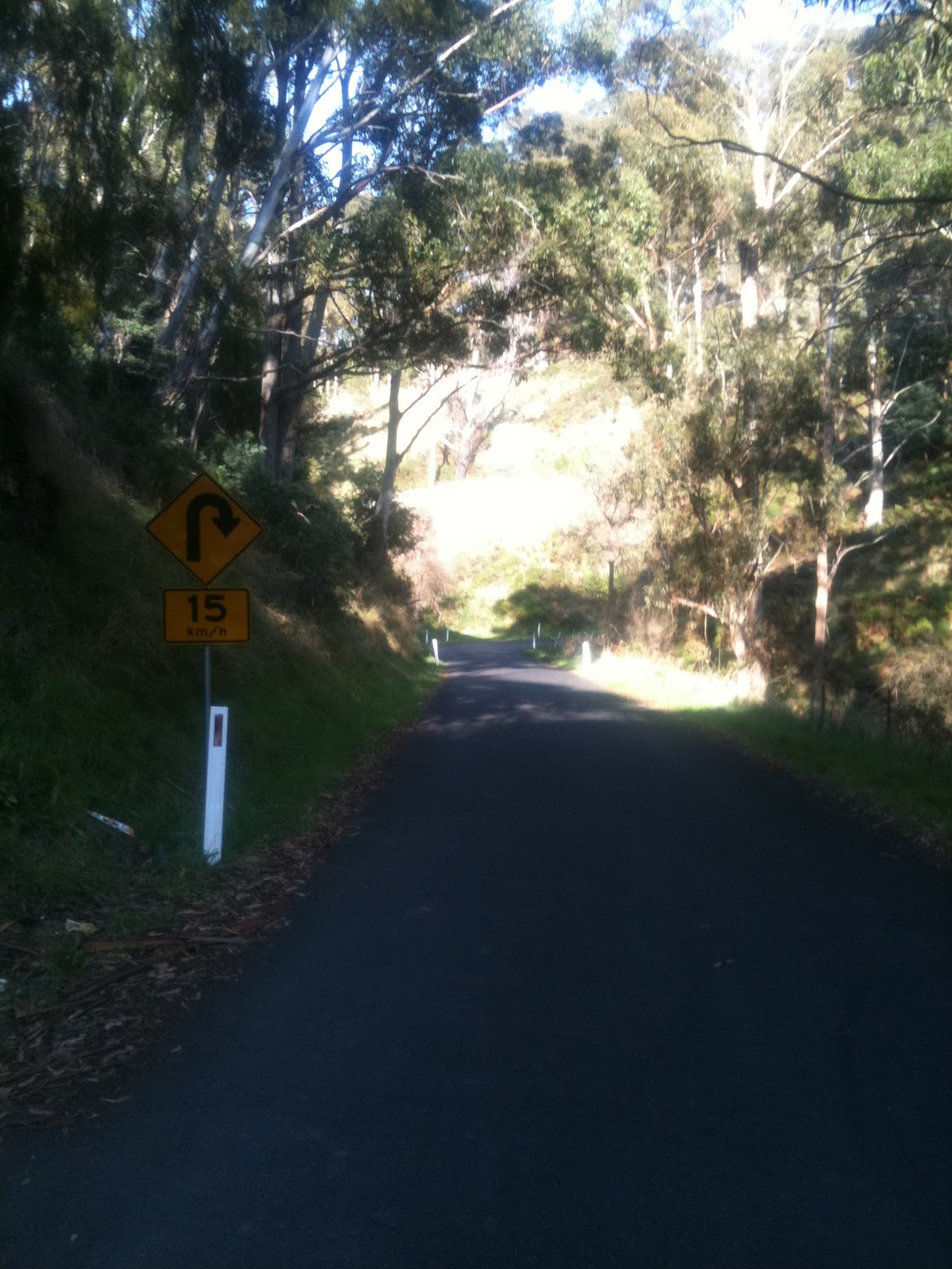
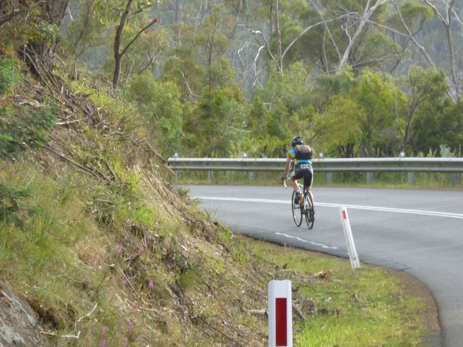
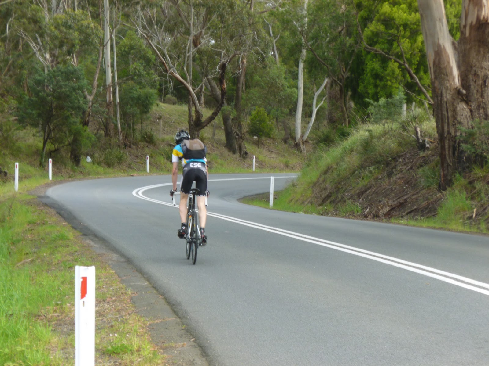
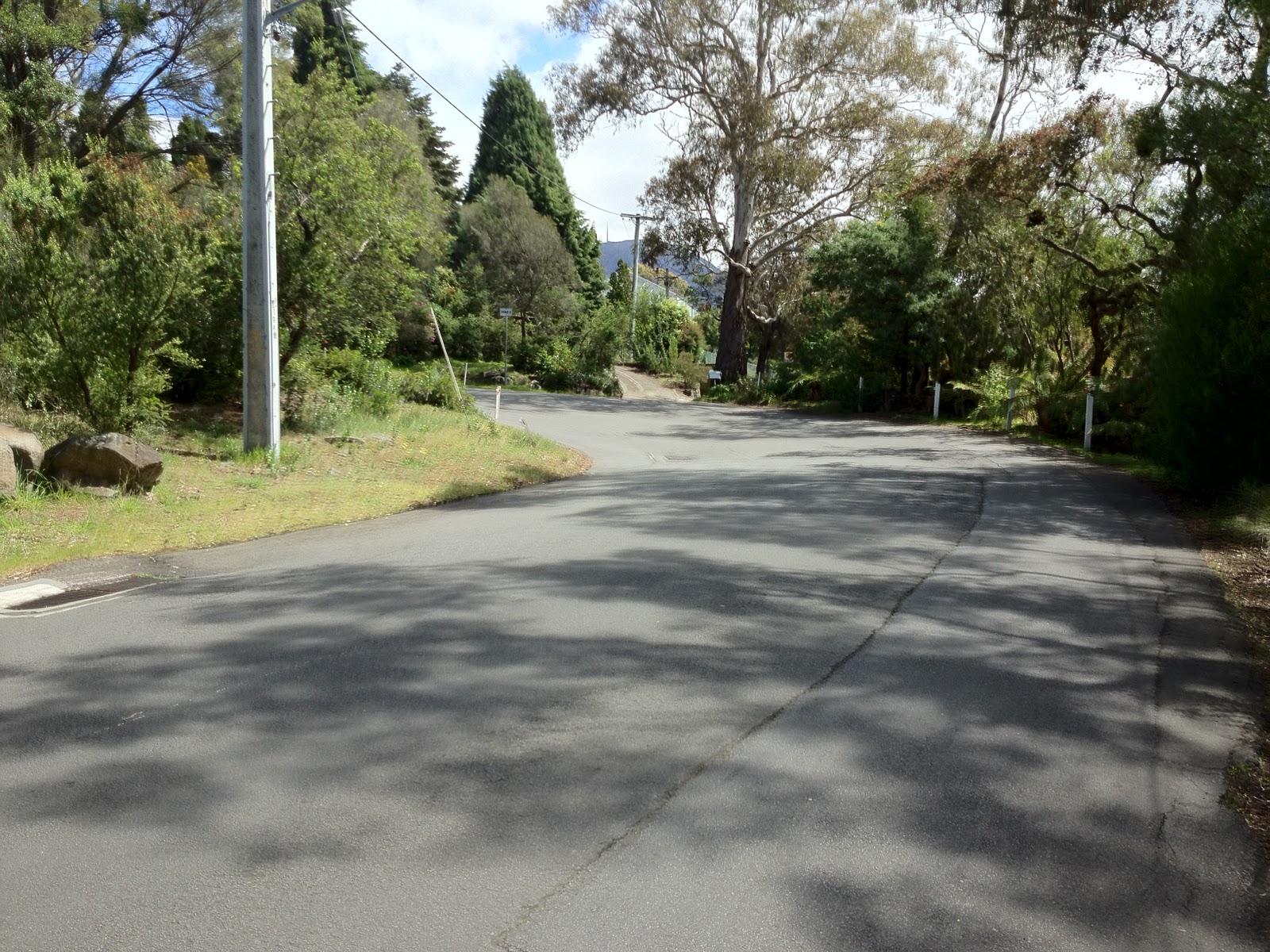
| Bend 4! |
 |
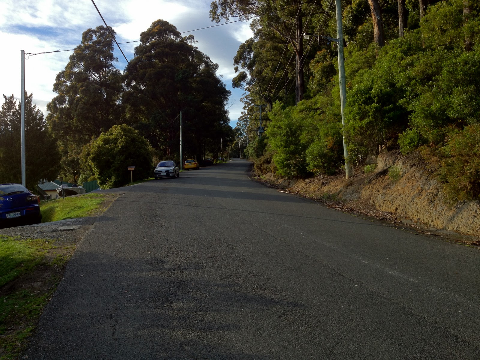
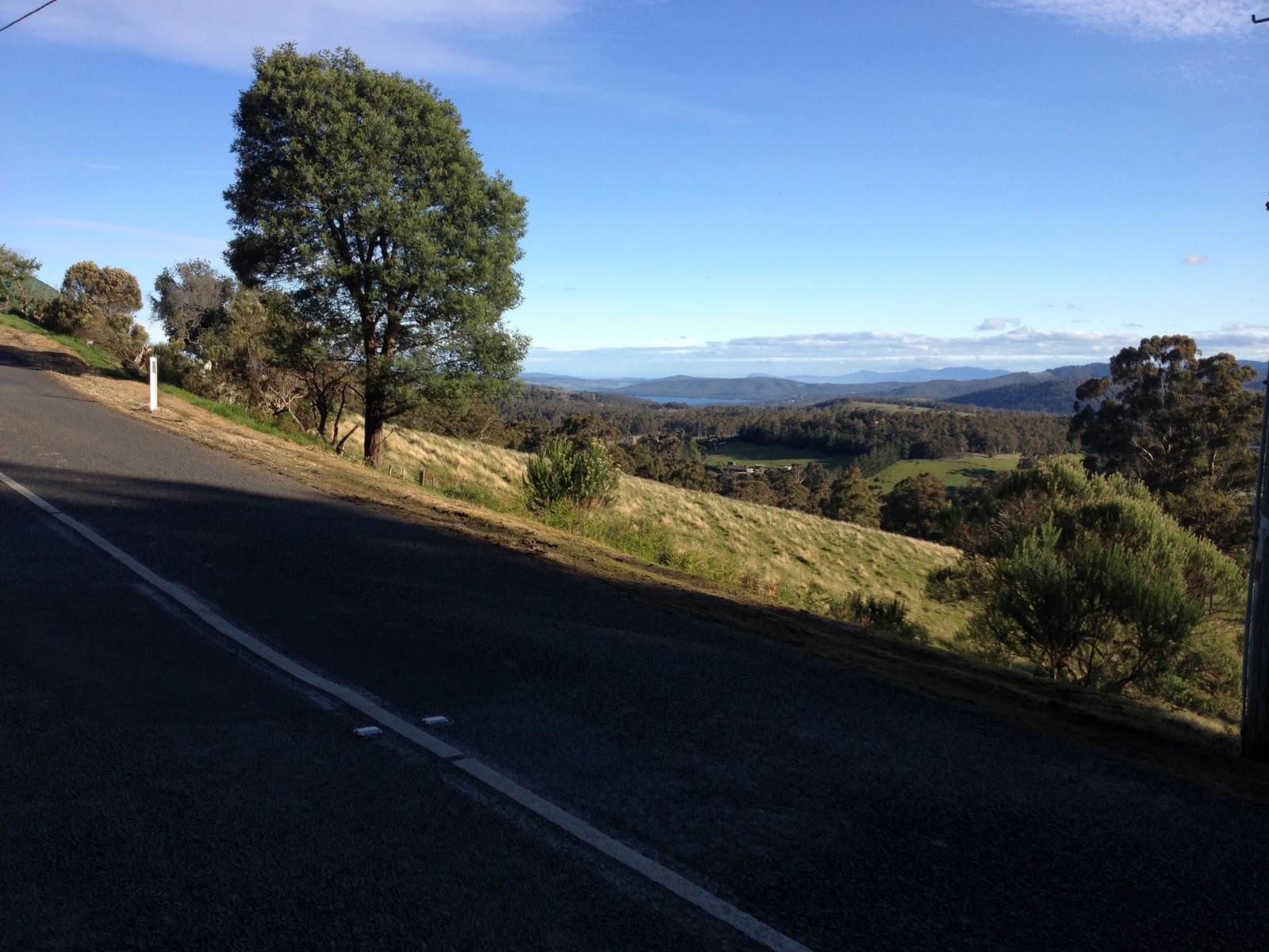
| More trees provide some shade |
 |
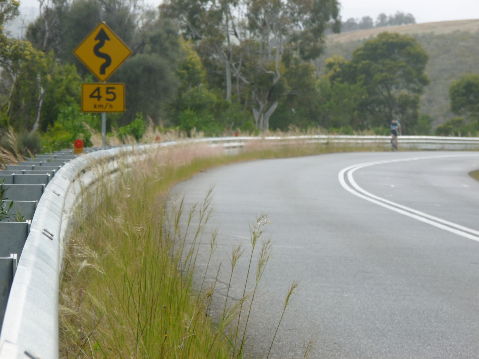
| Bend 5… Two to go. |
 |
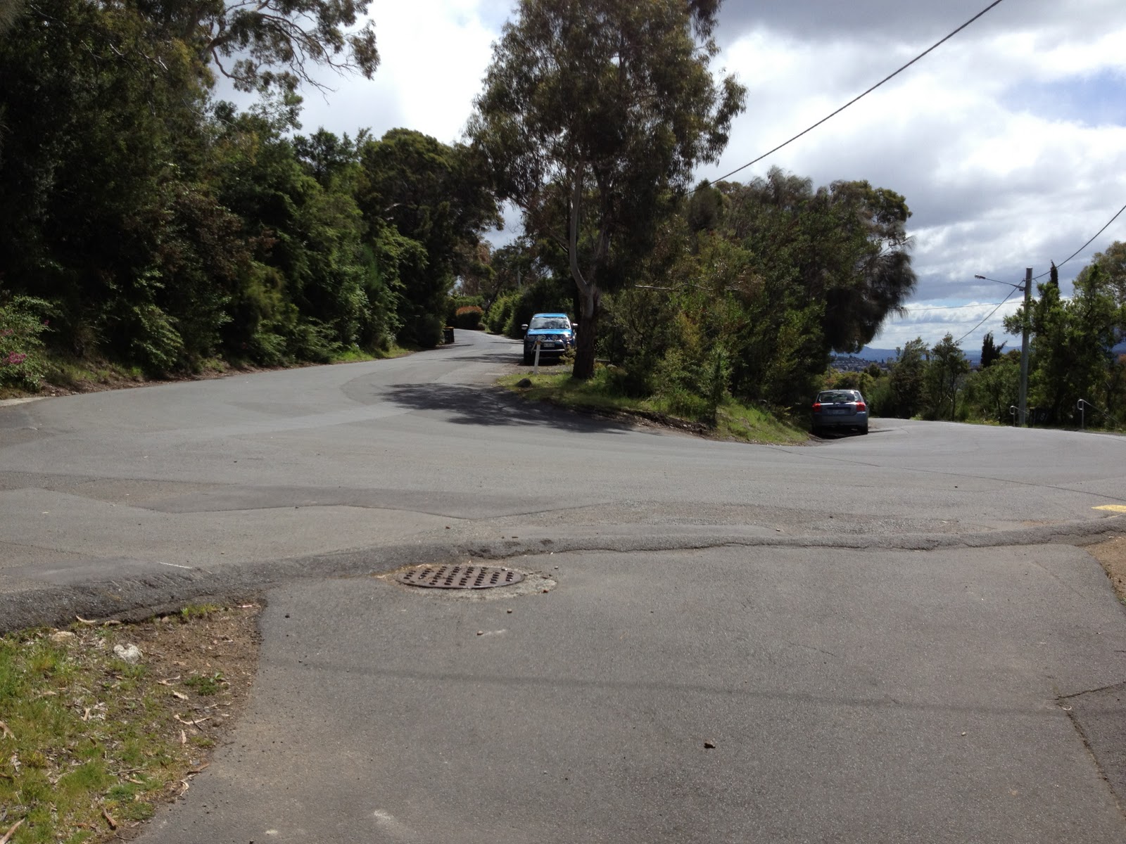
| Bend 6 ahead |
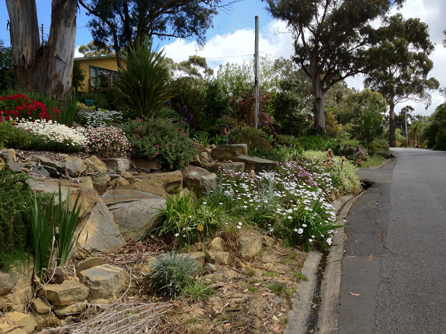 |
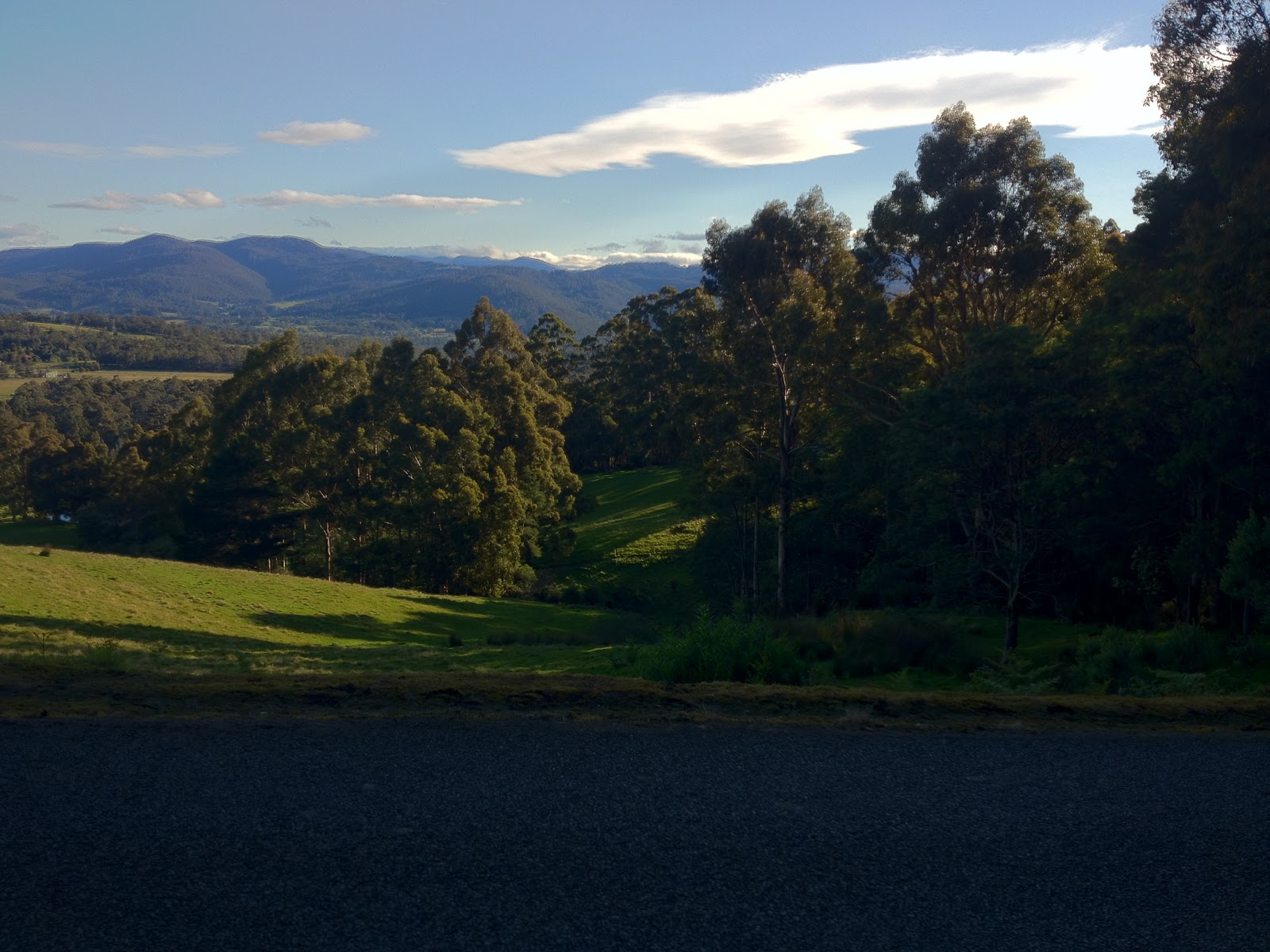
| Gardens to distract from the pain |
 |
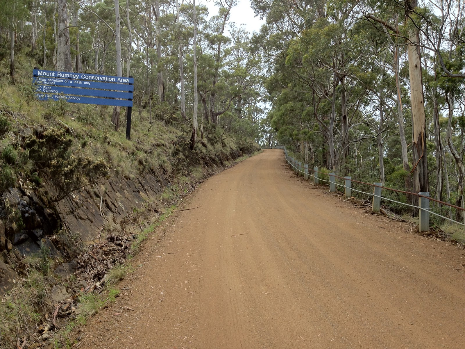
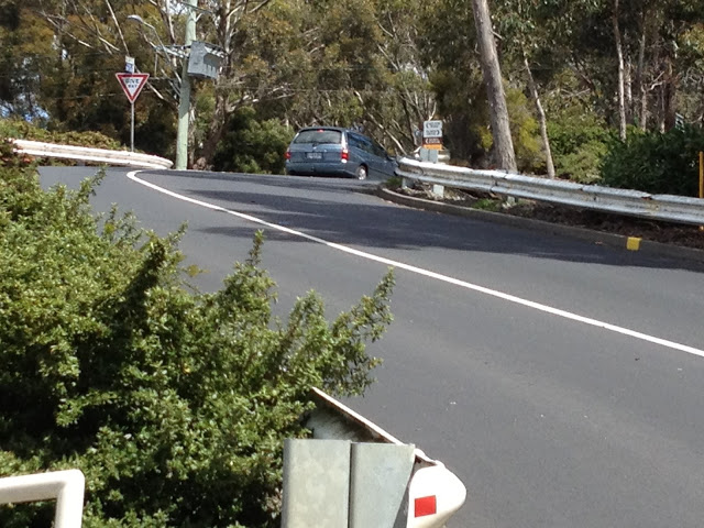
| Bend 7, no more hairpins after this, just a slog to the top |
 |
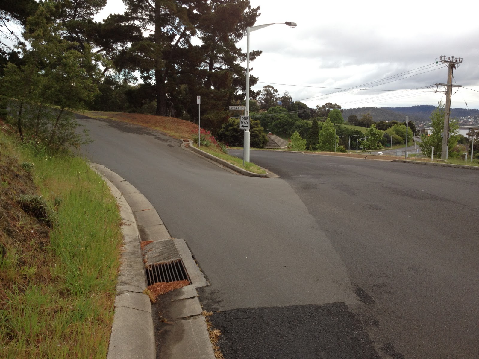
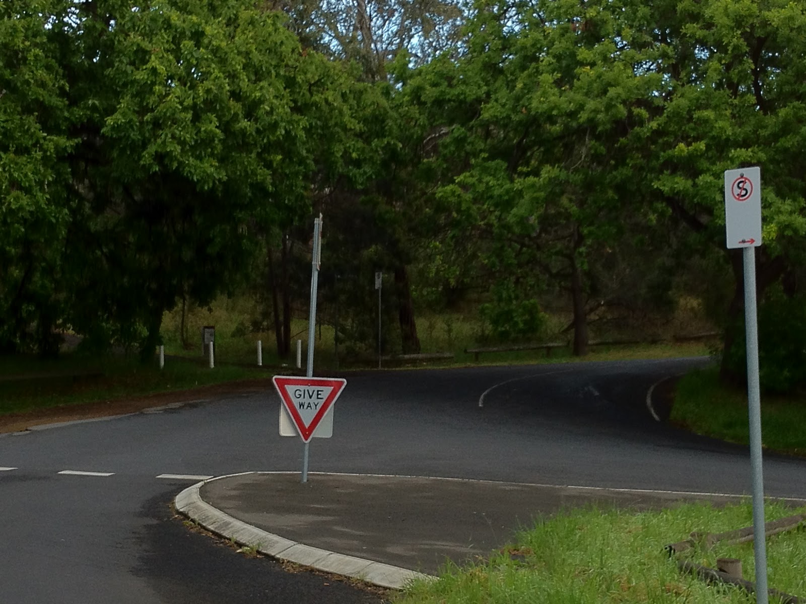
| And here’s the top |
 |
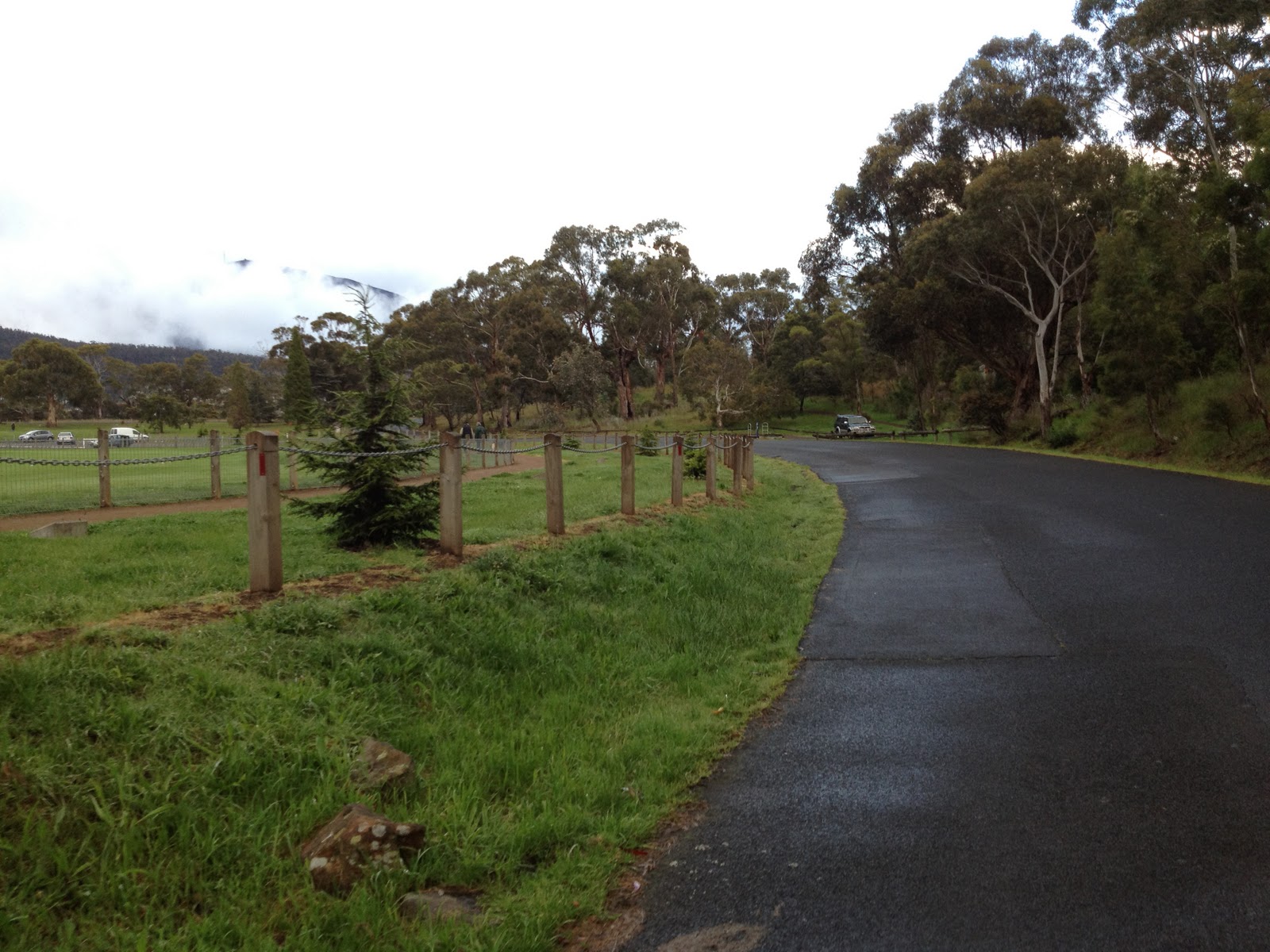
| You can ride back down Proctor’s Rd — take it easy though, it’s busy! |
Other posts in this series: