Category Archives: Strava

Hobart’s Top 10 Climbs, #8: Longley to Neika

Huon Rd: what’s around the next corner?

This is the third post of a series on some of the great road cycling climbs around Hobart. You can be notified of new posts in the series by following me on Twitter.  The order of these climbs is completely my own whimsy.  No doubt you’ll disagree with me: leave a comment to tell me what I got wrong.  Do go and ride these climbs 🙂

Now for the climb! Longley International Hotel is a famous little pub at the base of this climb. The pub features as the starting point for the annual Wellington Challenge time trial to the summit of Mt Wellington, a 1100m climb, with the current record holder being Richie Porte, who did the climb in 2008 in 49:51, with an astonishing average speed of 25.43 km/h. In this post I only look at the first third of the climb, as the Mt Wellington climb itself will be a separate post.

The climb from Longley to Neika is very pleasant, low traffic, with mostly farmland scenery just starting to edge into the mountain forests as you approach the top. The climb is not particularly steep, averaging 5.7%, but it is long enough at 5.5km that you’ll have to work to make it to the top. The turnoff to Leslie Vale is roughly at the 40% point, which makes a nice milestone. Until you reach this corner, your views will be focused on the North West Bay River valley as it winds its way around the back of the Wellington plateau from Wellington Falls down to the sea.

After the turn-off, you continue climbing on the other side of the ridge. The views are now massive vistas of Storm Bay and the D’Entrecasteaux Channel between the Tasmanian mainland and Bruny Island. I particularly enjoy the two corners which have a divider in the centre of the road; they are also great waypoints and once I pass the second one, I know I am near the top of the climb. The gradient is relatively consistent, until a slightly steeper ramp at the very end as you approach the old Neika Schoolhouse.

I can’t think of much more enjoyable riding than this climb on a sunny summer morning!

This road is also wonderful for descending, without any overly steep corners and a decent surface. Just watch out for damp shaded sections and leaves, even in summer.  (Note: roadworks in recent weeks has trashed the surface and left lots of mud on the road…  I hope they clean up their mess.)

Your Challenge: ride this climb entirely over your heart rate anaerobic threshold.

Coming up in my next post, a climb that is not in the foothills of Mt Wellington

Longley to Neika
Distance 5.5km
Category 3
Elevation 314m
Gradient 5.7%
Maximum Gradient 8%
Time from city 45 minutes
Traffic low
Strava http://app.strava.com/segments/629095

How to get to the climb: The nice way: Take the “commando” route south through Kingston and turn right towards Sandfly just before Margate. Cross the Huon Hwy and turn right into Longley. This route takes more than 45 minutes — just take Davey St and stay on the same road until you get to Longley for the short route.

Longley Pub (or Longley International Hotel)

The valley at the base of the climb

Your climb starts here!

The first third of the climb is lined with sparse gums

Leslie Rd to the right will take you towards Kingston

The climb continues

If you are taking it easy, enjoy the views.  If you are trying to beat Richie’s record, here’s a view that you missed…

And more views

Evening light

Onward and upward

Lots of shaded (damp) corners

Waterfall on the way

Near the top here!

And there’s the crest!  Sprint!

The climb in winter — a little more treacherous!

Early morning descent

Descending Huon Rd with my daughter

Other posts in this series:

Hobart’s Top 10 Climbs, #9: Nelson Rd

Bend 3 of the 7 famous hairpins.

This is the second post of a series on some of the great road cycling climbs around Hobart. You can be notified of new posts in the series by following me on Twitter.  I have ordered these climbs according to my own preference.  No doubt you’ll disagree with me: just tell me in the comments!  I hope this will inspire you to go and ride these climbs 🙂

Enough blather, what about the climb?  I was in two minds as to whether or not I’d include Nelson Rd in this catalogue of climbs. It is quite a suburban road, and doesn’t have the quiet back road feel of most of the other climbs around Hobart that I’ve chosen for my top 10. However, the road has some unique and fun features, particularly 7 hairpin bends, and it is also well suited to a tempo style climb for each straight. This allows you to build up a nice rhythm with a high tempo run to each corner, out of the saddle to power around the hairpin, and then back on the seat and into your previous cadence on the next straight. Unfortunately, the lumpy road surface does throw your rhythm as you bump over driveway ramps, but I guess that’s all part of the fun!

I mark the start of this climb at the intersection between Churchill Ave and Nelson Rd, although Nelson Rd does start down at the Casino at sea level. The section of the climb between the Casino and Churchill Ave has a lot of traffic and the intersection with Churchill Ave is a hassle because of the traffic, so I’ve excluded that from the climb.

As I said above, the best features of Nelson Rd are the seven hairpin bends, which make great waypoints on the climb. Although after Bend 4 one starts to lose track and there’s always a bend or two more than you hope!  In future years, no doubt these will be commemorated with the names of famous cyclists who have conquered this climb.  I think I’d like to have Bend 3 (pictured above); you can claim one of the other ones.

After the seventh bend, marked by two big water tanks, you crest onto the “plateau” of the hill and follow the climb, which continues at the same gradient, albeit without all the zigzagging, to the finish at the intersection with Olinda Grove. This section of the climb is not very interesting but you will need to keep the power on all the way to the very end if you want to take the KOM in Strava!  (I should mention that the KOM is currently mine and I’d like to keep it that way, okay?)

Take a left at the end to ride to Mt Nelson Signal Station for incredible views over south eastern Tasmania (definitely recommended) and coffee. Turn right to take the quick way down on Proctor’s Rd. Or if you are crazy, down the Southern Outlet.

Your Challenge: ride 3 repeats in a lunch break

The next post describes a climb with a very different feel

Nelson Rd
Distance 3.9km
Category 3
Elevation 232m
Gradient 6%
Maximum Gradient 10%
Time from city 10 minutes
Traffic medium (watch for buses)
Strava http://app.strava.com/segments/628934

How to get to the climb: Take Davey St south, and turn left onto Antill St, and follow Antill St/Regent St/Churchill Ave through the University. Nelson Rd is on your right just after the University.
Nelson Rd: the climb starts here.  Bend 1 is immediately ahead

Nelson Rd is made up of long straights, and …

… Hairpin bends.  This is Bend 2

Lumpy driveways to negotiate ahead

Pleasant scenes on the climb

Bend 3

And another long straight!  Keep that tempo going

Bend 4!

More trees provide some shade

Bend 5…  Two to go.

Bend 6 ahead

Gardens to distract from the pain

Bend 7, no more hairpins after this, just a slog to the top

And here’s the top

You can ride back down Proctor’s Rd — take it easy though, it’s busy!

Other posts in this series:

Hobart’s Top 10 Climbs, #10: The Domain (Carriage Drive)

Carriage Drive on The Domain

This is the first post of a series on some of the great road cycling climbs around Hobart. You can be notified of new posts in the series by following me on Twitter.  I have ordered these climbs according to my own preference.  No doubt you’ll disagree with me: just tell me in the comments!  I hope this will inspire you to go and ride these climbs 🙂

Onto the climb!  The Domain is a great little climb within 5 minutes ride of the city centre. My friends and I use it for doing repeats. The climb starts at the bottom of Carriage Drive, a smooth little one way road that winds its way up the Domain. Be aware that the road becomes two-way half way up the climb.  Initially a gentle gradient, the climb lures you into a pace of up to or even over 30 km/h, until you round a bend half way up and the gradient triples! This is guaranteed to pour that lactate pain in as you drop through the gears.

But immediately after the steep pinch, the road levels out for a couple hundred metres, where no doubt you’ll work hard to put the pace back on again. On reaching a 4 way intersection, turn right (don’t forget traffic in your pain-induced haze), and follow the curves in the second half of the climb around to the summit of the hill. Keep following the road straight round the circle at the top, and back down the hill, then roll round to the bottom of Carriage Drive to do it all again!

See if you can fit in 5 repeats in a lunch break!  Coming up in my next post, a climb that zigs and zags…

The Domain
Distance 2.2km
Category 4
Elevation 102m
Gradient 4.6%
Maximum Gradient 15%
Time from city 5 minutes
Traffic low
Strava http://app.strava.com/segments/634467

How to get to the climb: From the Cenotaph, ride under the highway, turn right, and immediately after entering the highway, exit left. Carriage Drive is 50m ahead on your left.

Your climb starts here

Continuing up the hill

Governor’s digs on your right

Watch for traffic as you fly through this intersection

Round past the sports grounds

Turn right here

Road surface is a bit rougher now

Almost there!

The top of the climb

Other posts in this series:

Lunch Time Racing

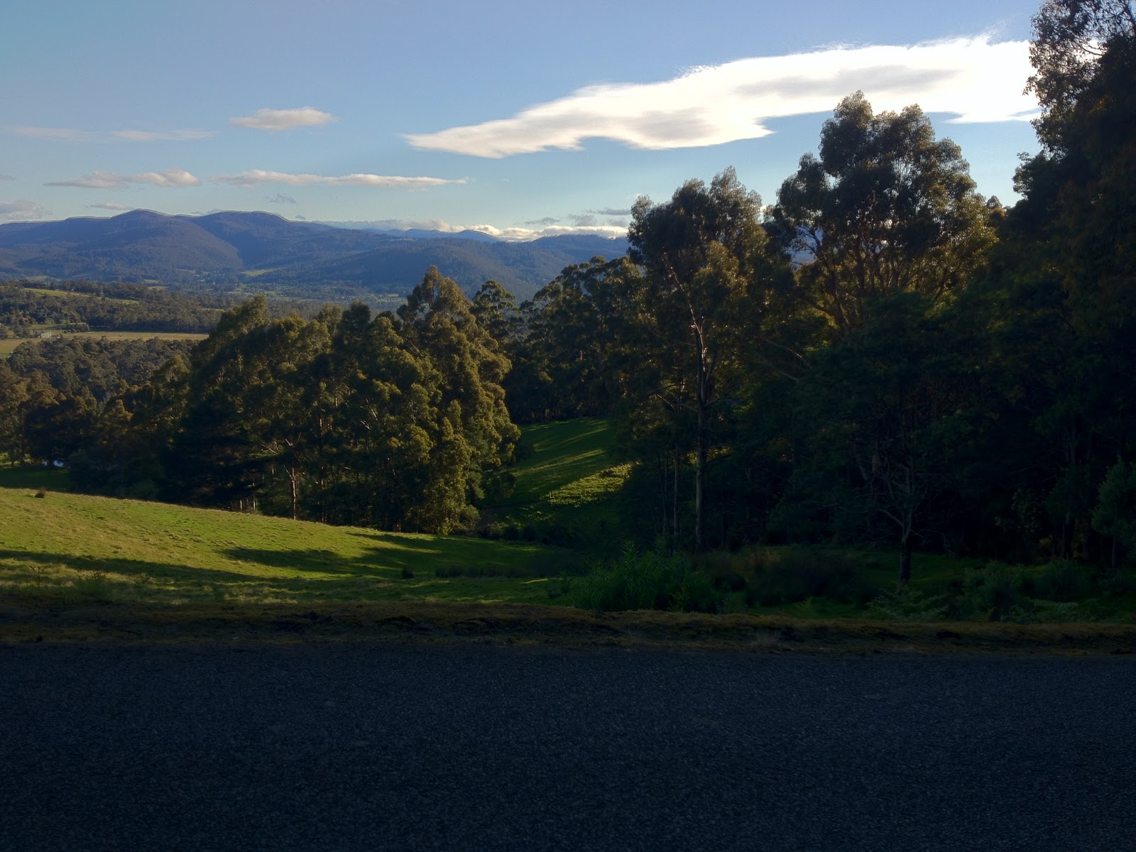
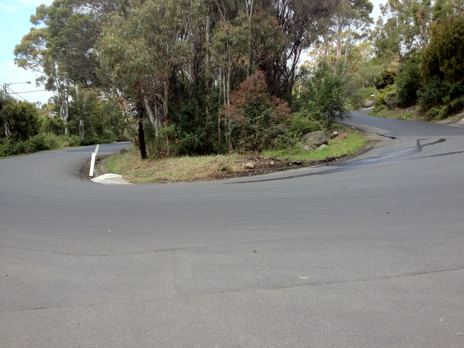
Every Thursday lunch I try to get out with my mates for a hard ride somewhere in the foothills of Mt Wellington. Today’s format was slightly different to most of the rides, and debilitating!  Stu, our resident hard man (although he just went abroad and has come back with a soft centre, but we’ll soon fix him up again), suggested we do interval races: hospital to bridge, about 2.5km, gentle for the first 800m, and then 5.3% for the next 1.6km, recover over the next 4km of climbing (Strickland Ave to Fern Tree Tavern) and race again after that.  I foolishly suggested, as it was a beautiful winter day, that we race up to the Springs at 700m elevation, instead of to Neika at 500m elevation.  We would finish with an individual time trial on Huon Rd of 3.6km.

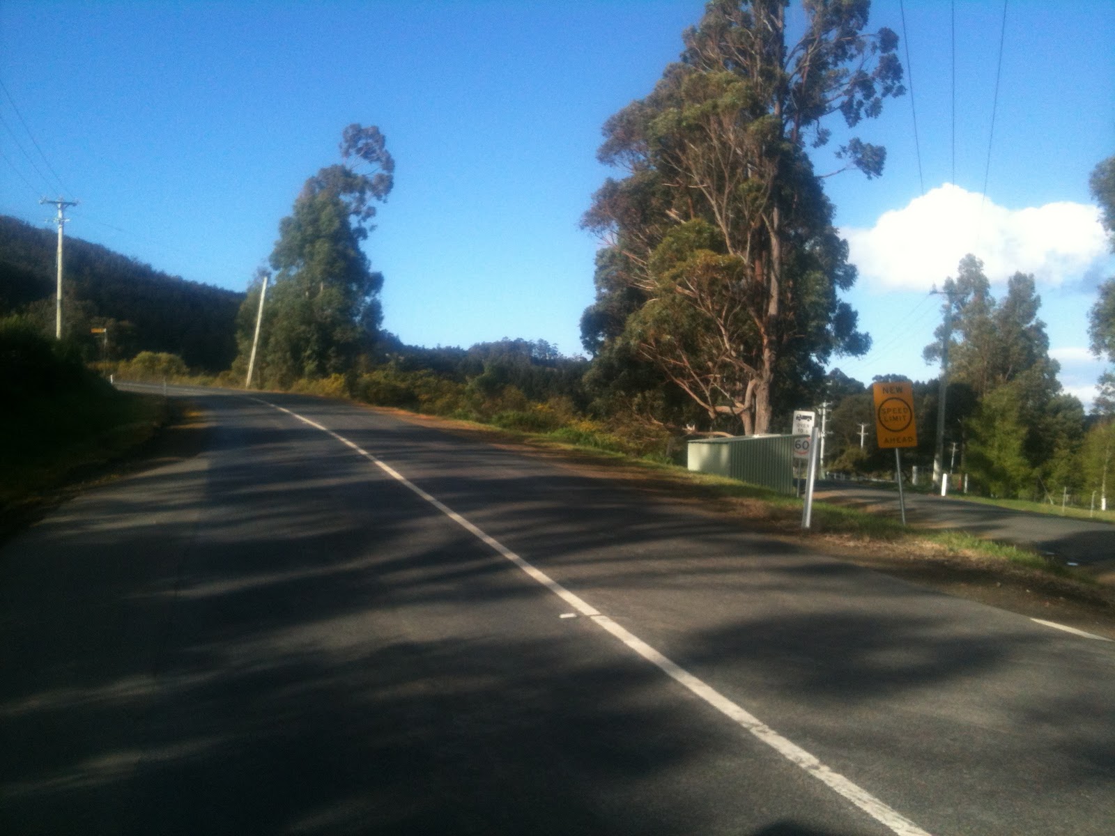
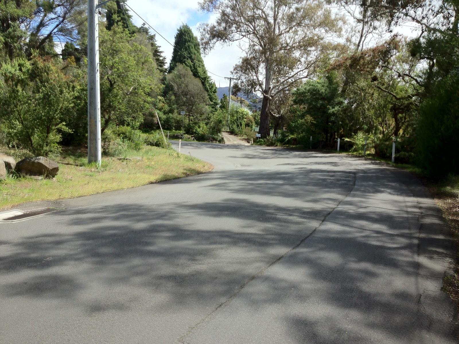
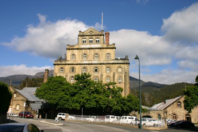
We met in Hobart city — a small bunch of 4 today — and rode up Macquarie St towards Mt Wellington, just warming up until we got to the hospital.  As soon as we hit the hospital, Stu upped the tempo and shortly after took off up the road.  We let him go.  Rode past the Cascade Brewery, not that we noticed it.
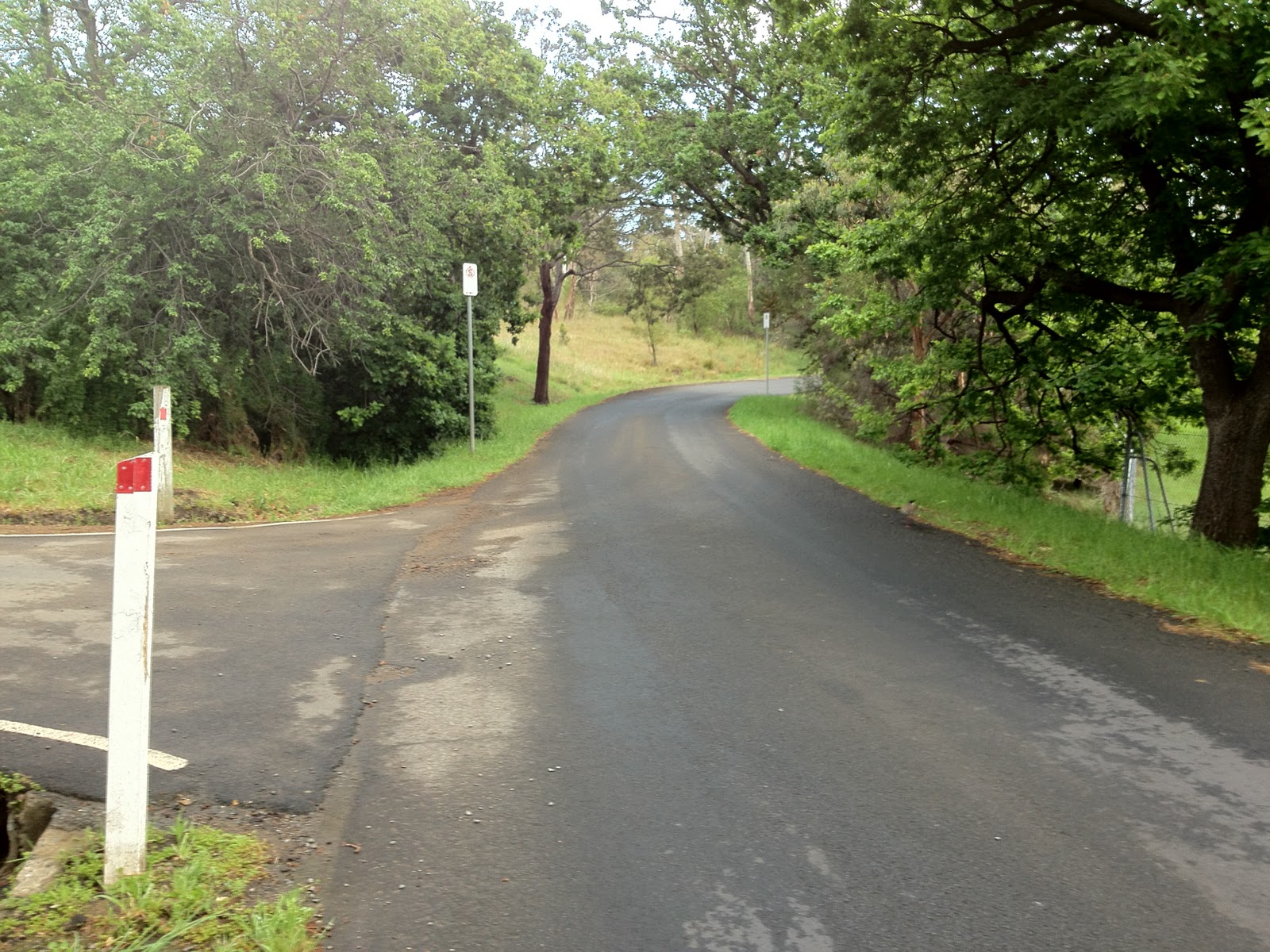
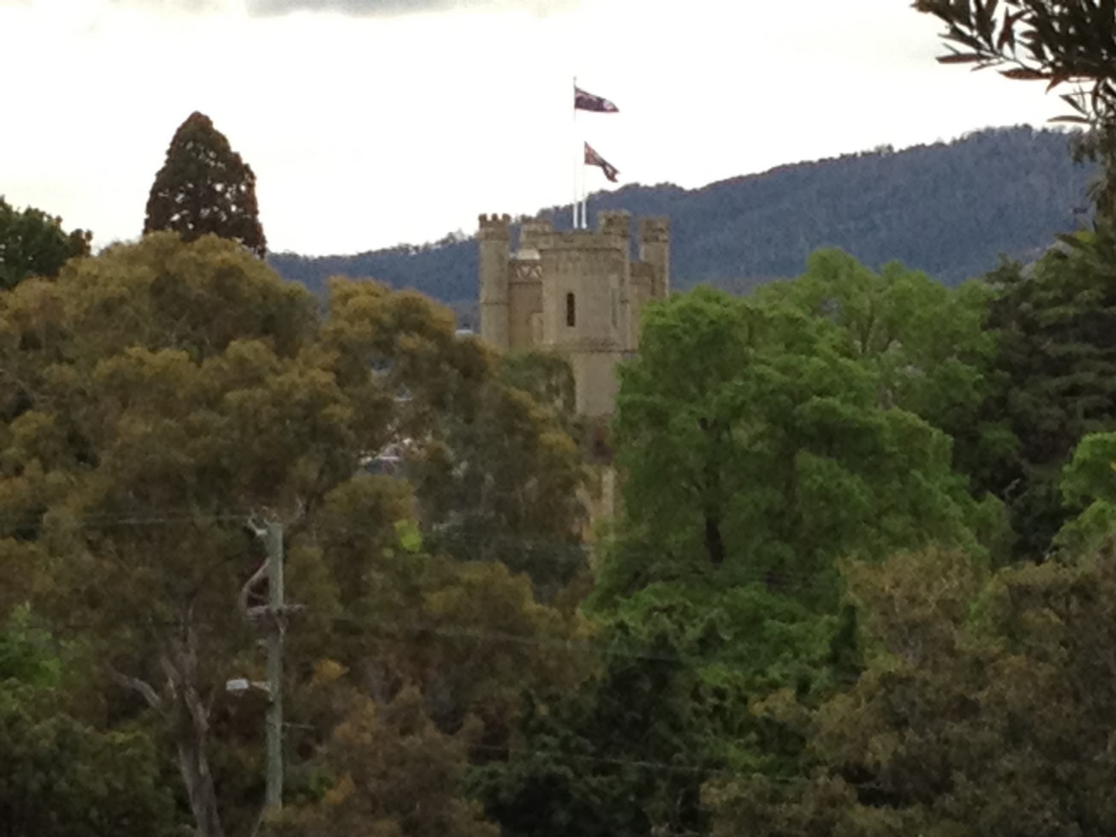
Cascade Brewery

We settled into a decent tempo with Stu about 100m up the road, and discussed if we’d try and drag him back.  There was a distinct lack of enthusiasm from the bunch.  Iain said he was saving himself for the Springs push.  More on that later.  So it was up to me.  I hit out hard, knowing that the only way to get past Stu would be to blow past him too fast for him to jump on.  I tried to keep as quiet as I could so he wouldn’t be ready for me.  I caught Stu in about 20 seconds, travelling at about 33km/h, knowing that I couldn’t keep that pace up very long at all — and indeed I hit threshold almost immediately after that and started to go into the red, really a bit early in the ride for that!  But mission accomplished!  I got to the end of the race section — a bridge — about 20 seconds ahead of Stu, and a good 1 1/2 minutes ahead of the bunch of two.  Shame on you Iain!

Strava tells me I rode from the Cascade Brewery to the bridge at an average speed of 24.8km/h, which is my second best performance on that segment.  But my best was, shall we say, ‘slightly’ wind assisted.

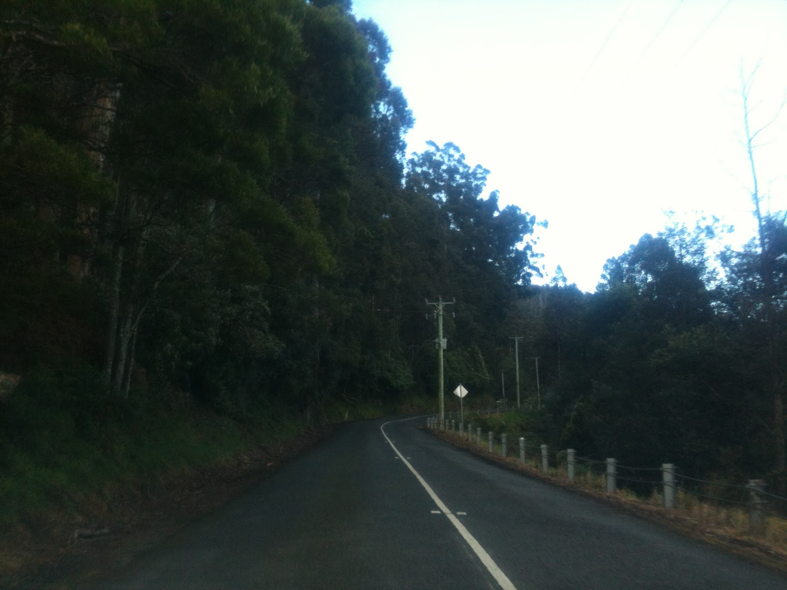
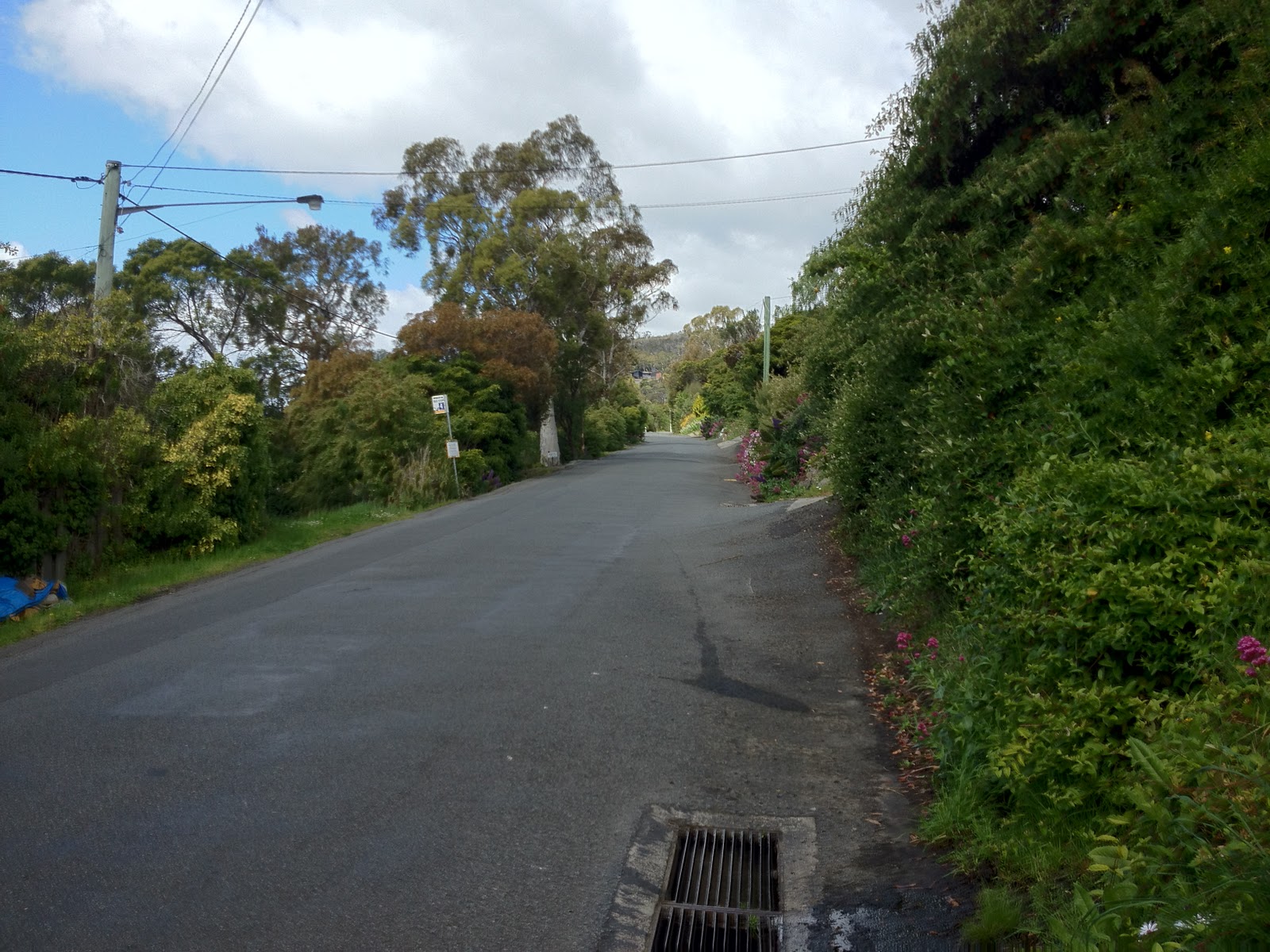
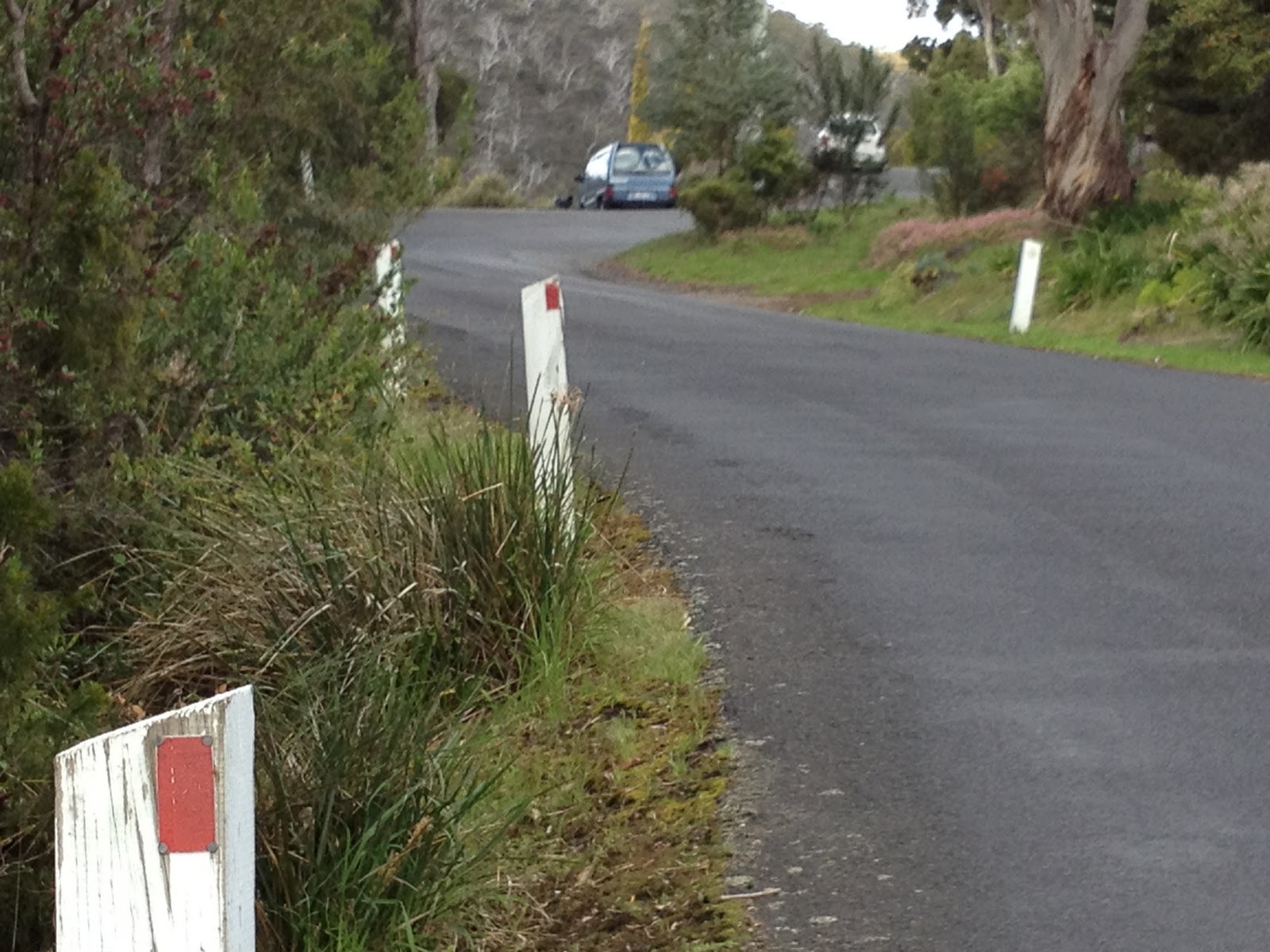
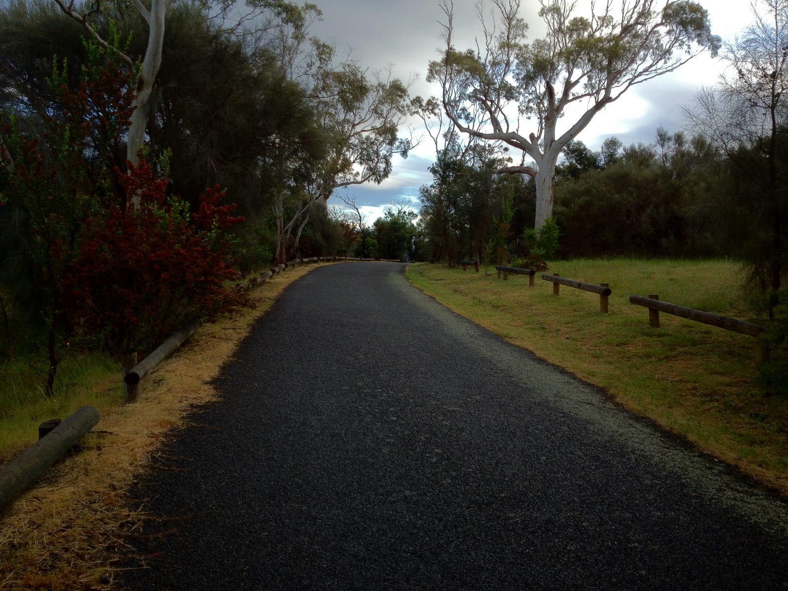
Tempo up Strickland Ave was good, helping my heart rate to come down, but my legs were crying out all the way up, filled with lactic acid and heavy and slow.  I was really wondering about the feasibility of the Springs climb.  But the race was on and I had to go.

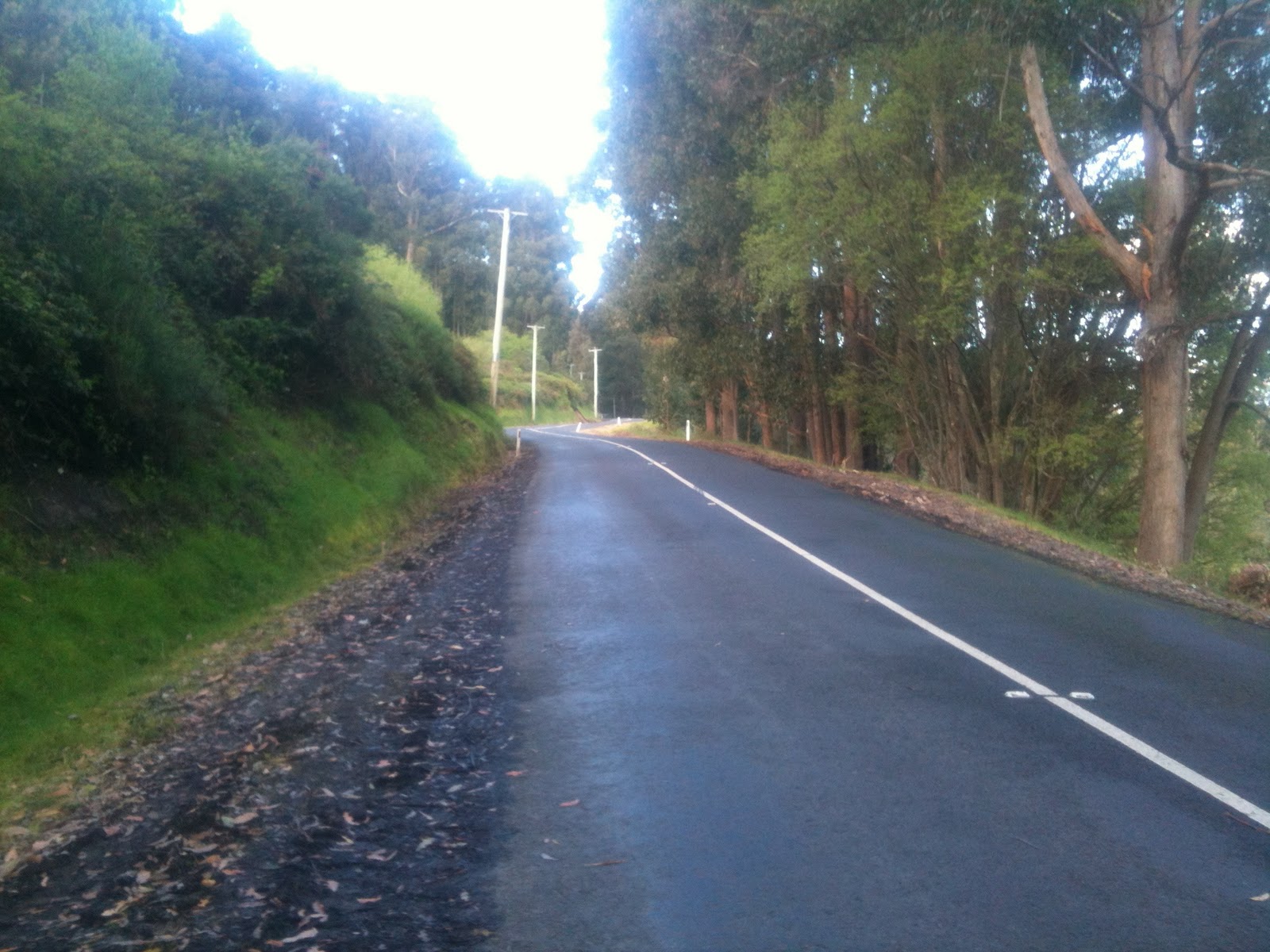
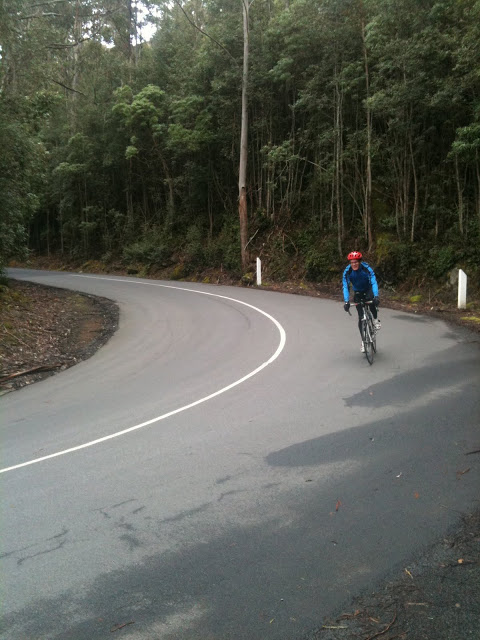
Pillinger Drive: Where the pain really starts

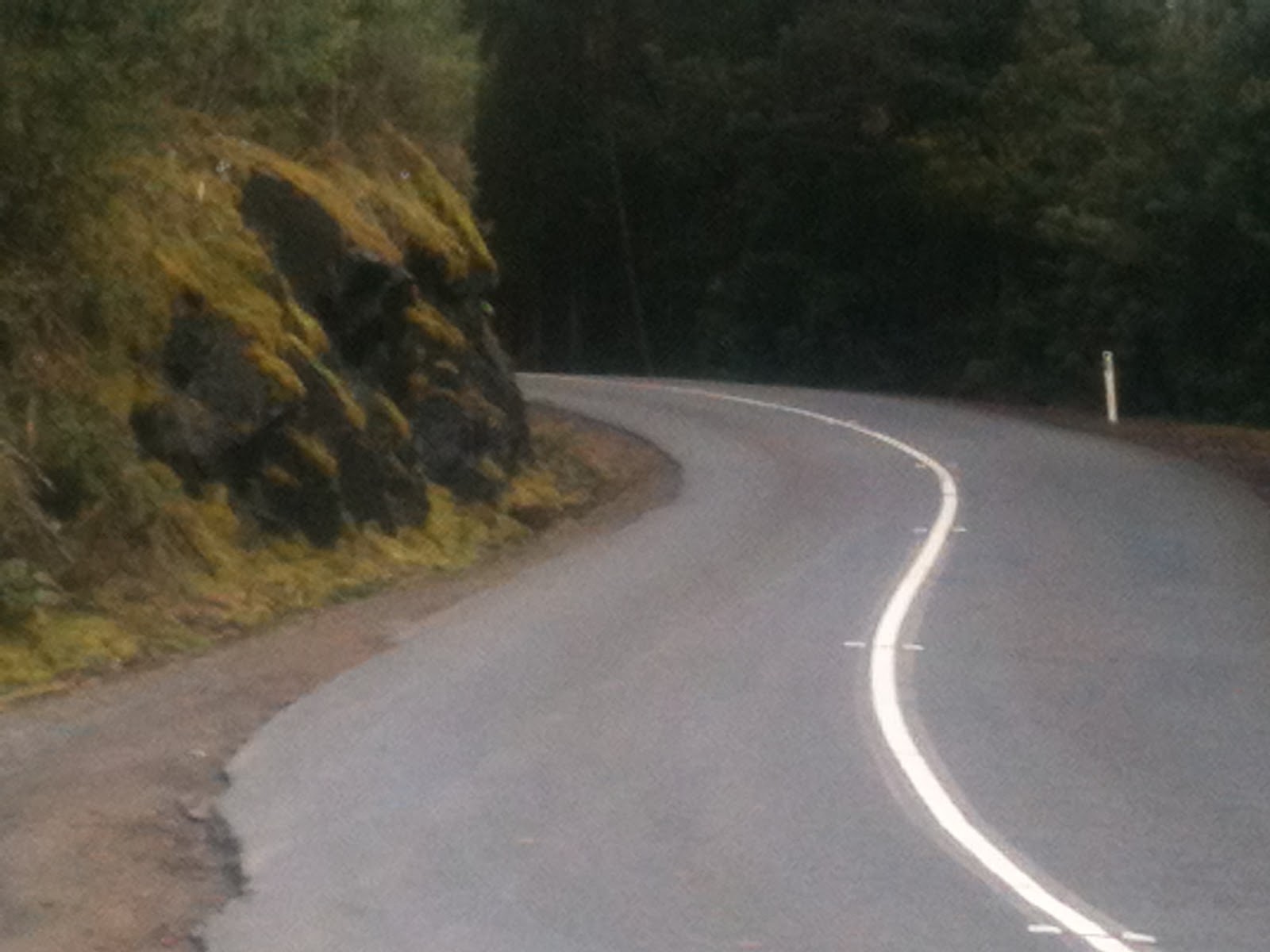
Scott turned up Pillinger Drive a little early having decided that riding this hard was not in his plan for today, and the rest of us followed him a minute later.  I led up the initial section, trying to set a hard pace, until we caught Scott and pushed past him.  At around that point I believe we dropped Stu, but I didn’t notice until a little while later Iain rode up alongside me and matched me pedal turn for pedal turn up the climb, at a ferocious and gruelling (for us) pace.  I just kept hoping he would crack but I knew I couldn’t last much longer.  My legs felt like lumps of lead on the pedals and I my breathing was nearly out of control.  Eventually, at just 1.3km into the climb, I just threw in the towel and backed off for a moment.  However Iain kept the pace up just that bit longer, and was away.  A couple of seconds later I got back into the swing of things, and even that 2-3 seconds was enough to rejuvenate me, and I stuck about 20m back for the rest of the climb.  Each time Iain climbed out of the saddle, I followed suit.

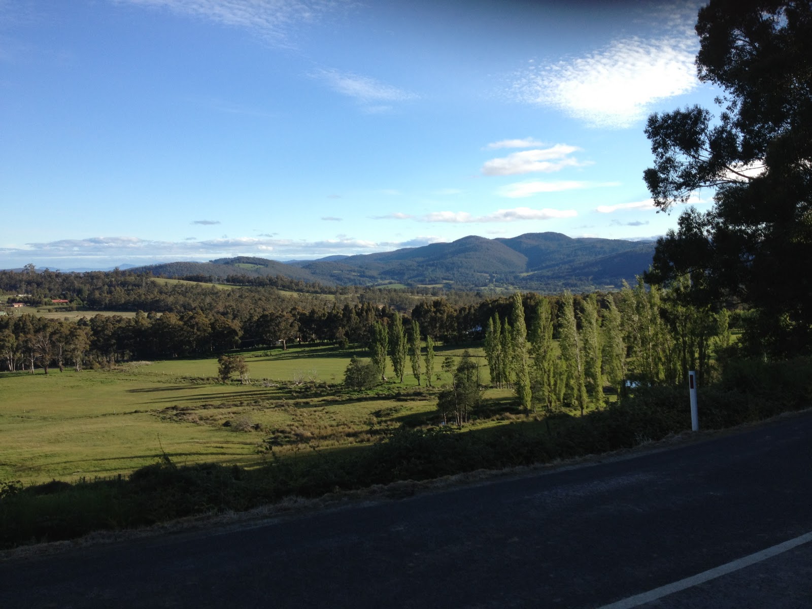
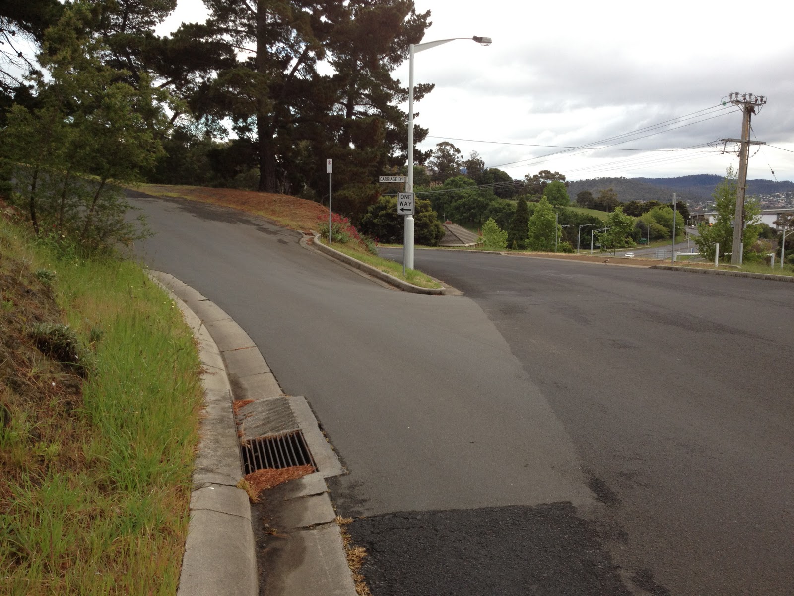
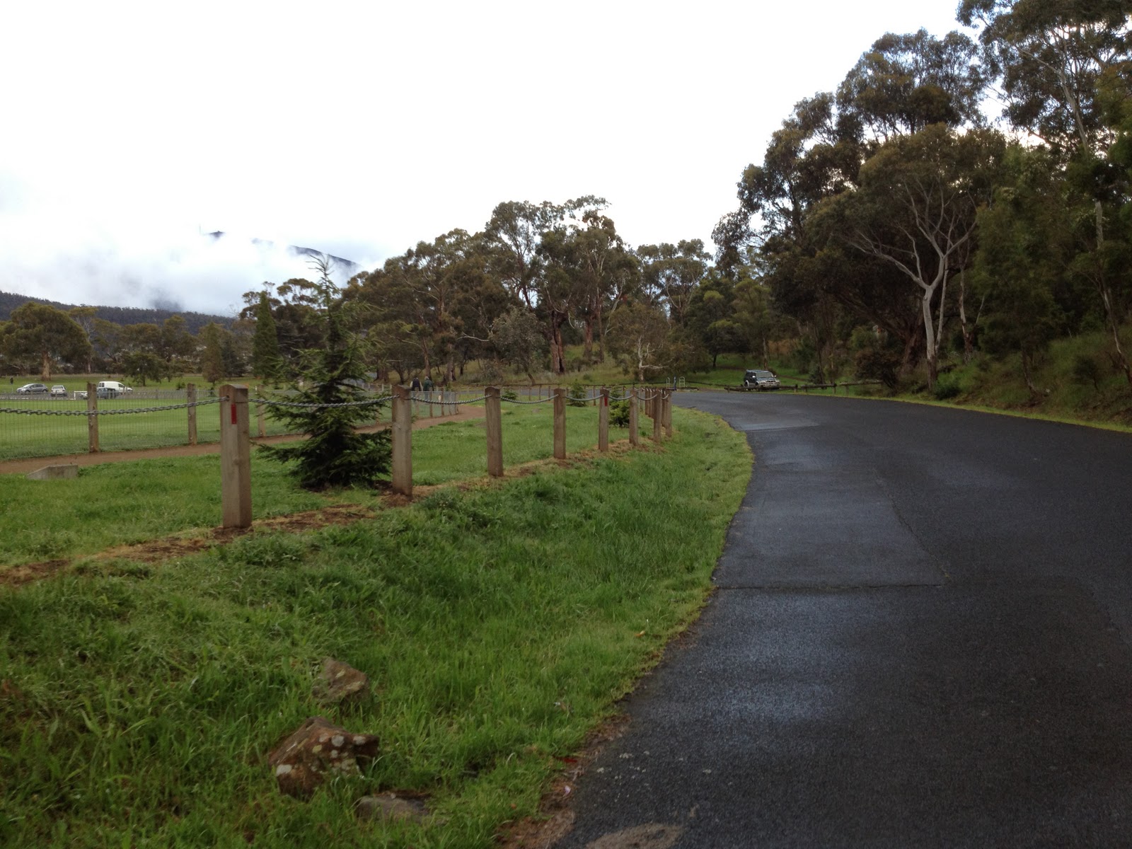
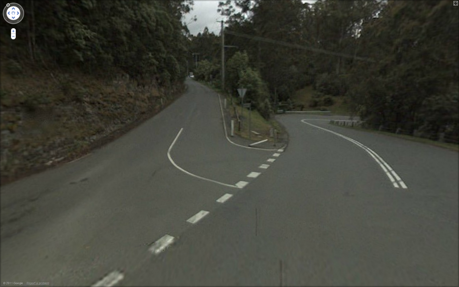
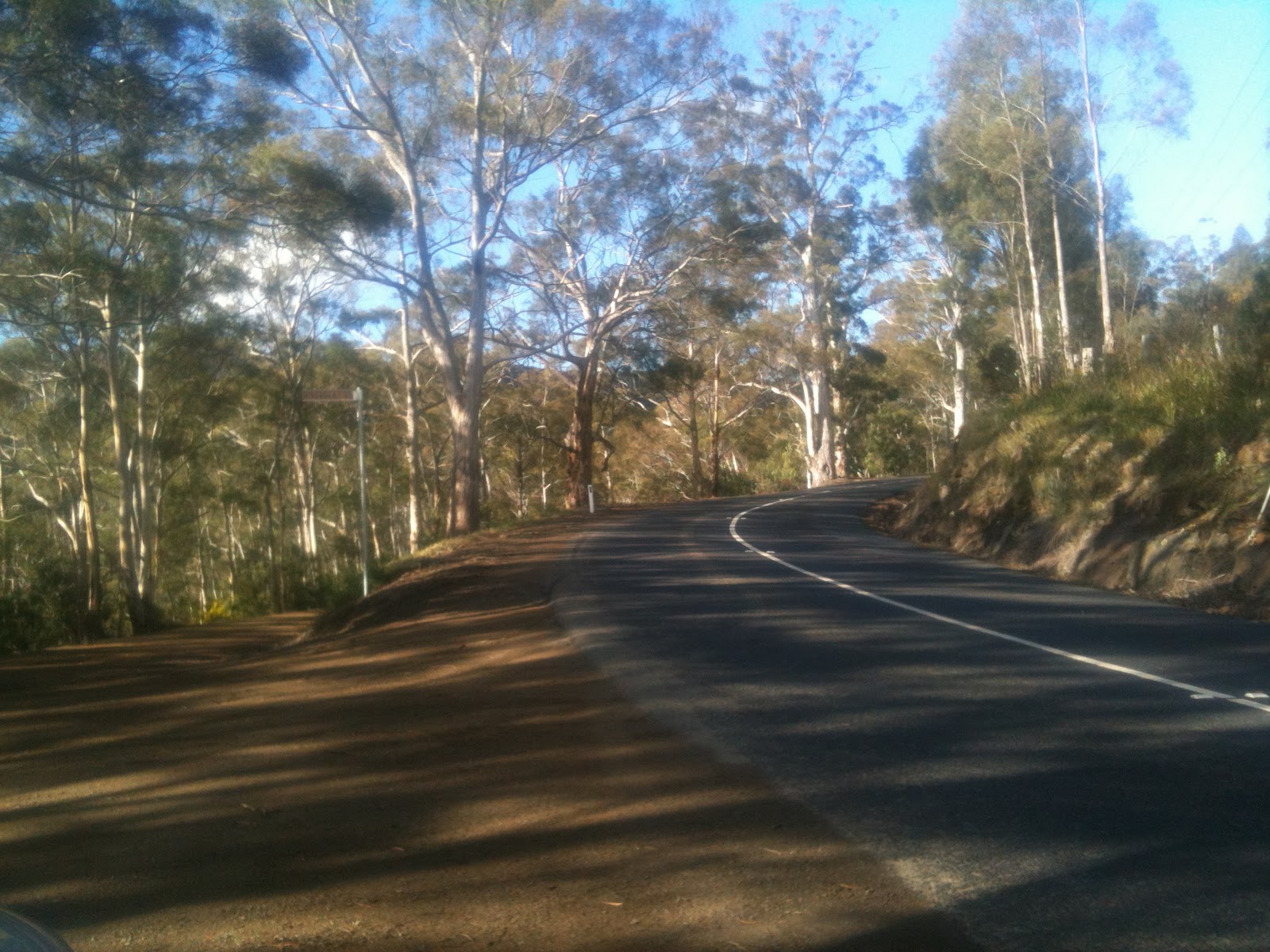
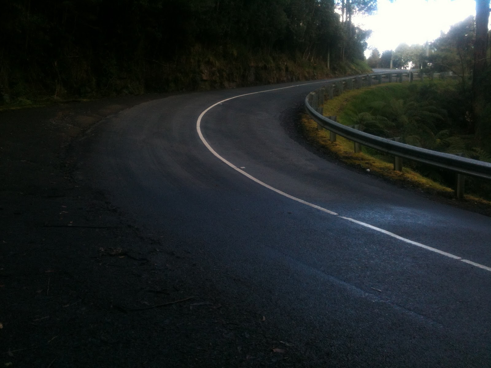
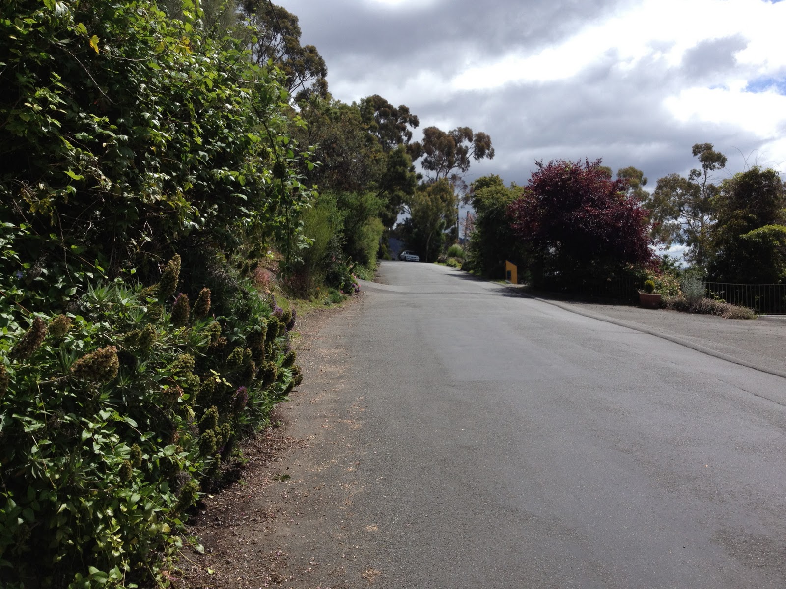
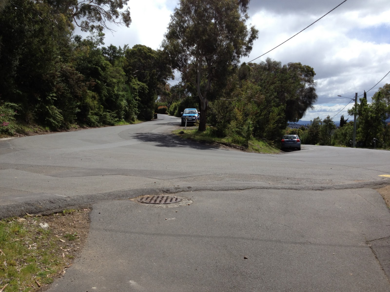
Big Bend — that smooth road is deceptive, this corner is the only smooth tarmac on the whole Springs climb

At Big Bend (the picture is from another ride), I pushed hard around the corner, but only closed about 5 metres, not enough to close the gap.  About 1km past Big Bend, the gradient eases from 8% to 4%, and all I could think of was getting there and hopefully pushing my pace up enough to catch Iain’s wheel.  But it was not to be.  As Iain hit the gentle 3-4% gradient section he, obviously, accelerated, and while I was able to match his acceleration, I could not pick up enough speed to catch him.  He sprinted up the final 100m, and I just couldn’t face doing the same, knowing I would not be able to catch him!  It was a phenomenal climb by Iain.  Even with the lactic in my legs from the first segment, I still cracked my previous best by 1:20 on this climb, so I was pretty happy.  I even held the KOM on Strava for the segment, for 5 minutes, until Iain uploaded his ride!

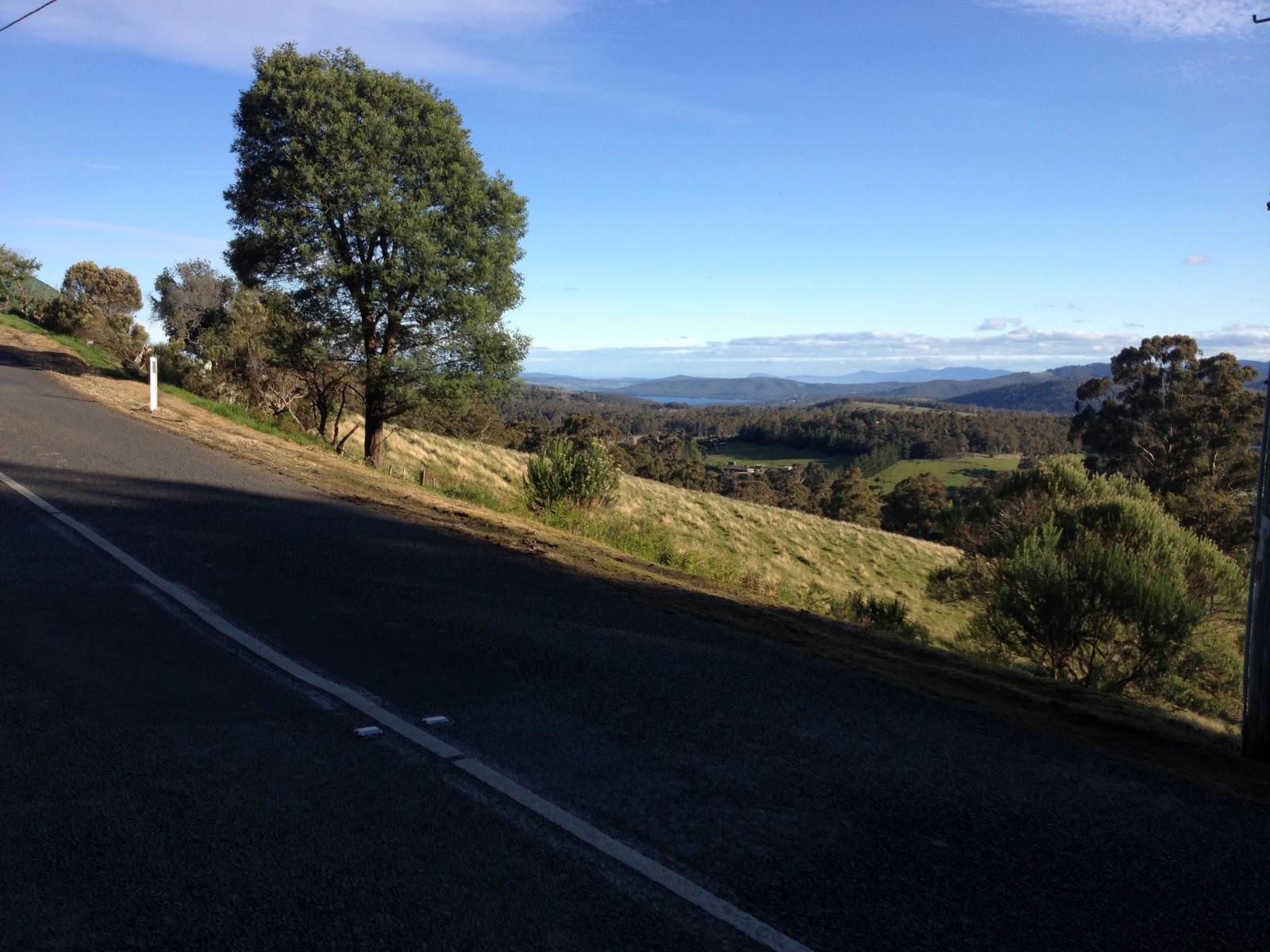
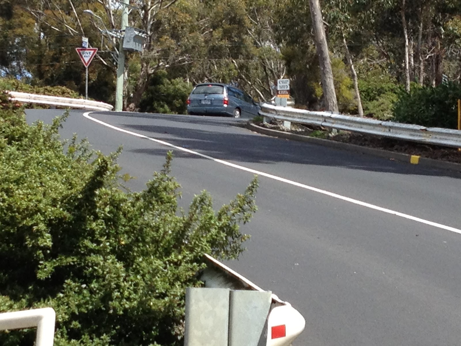
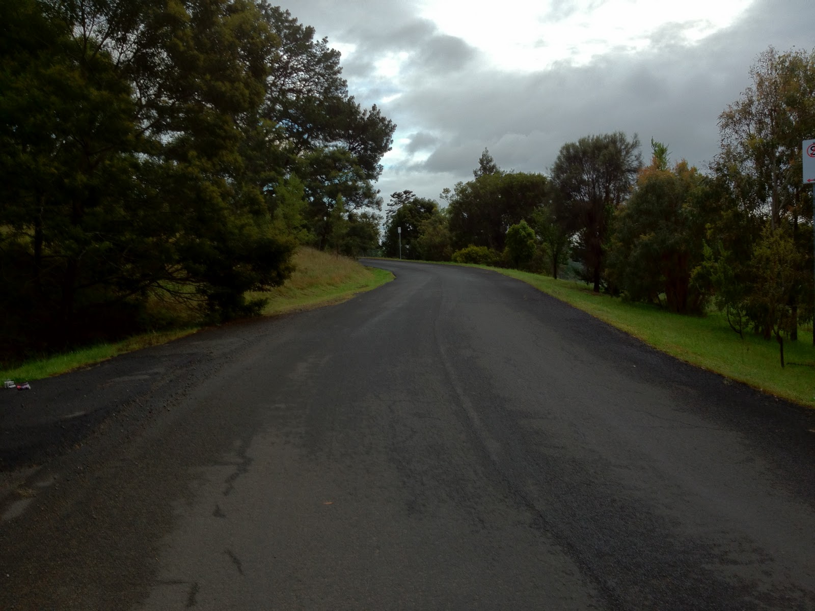
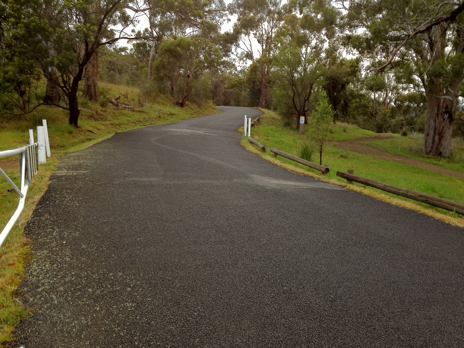
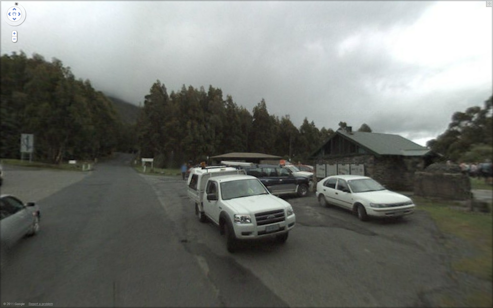
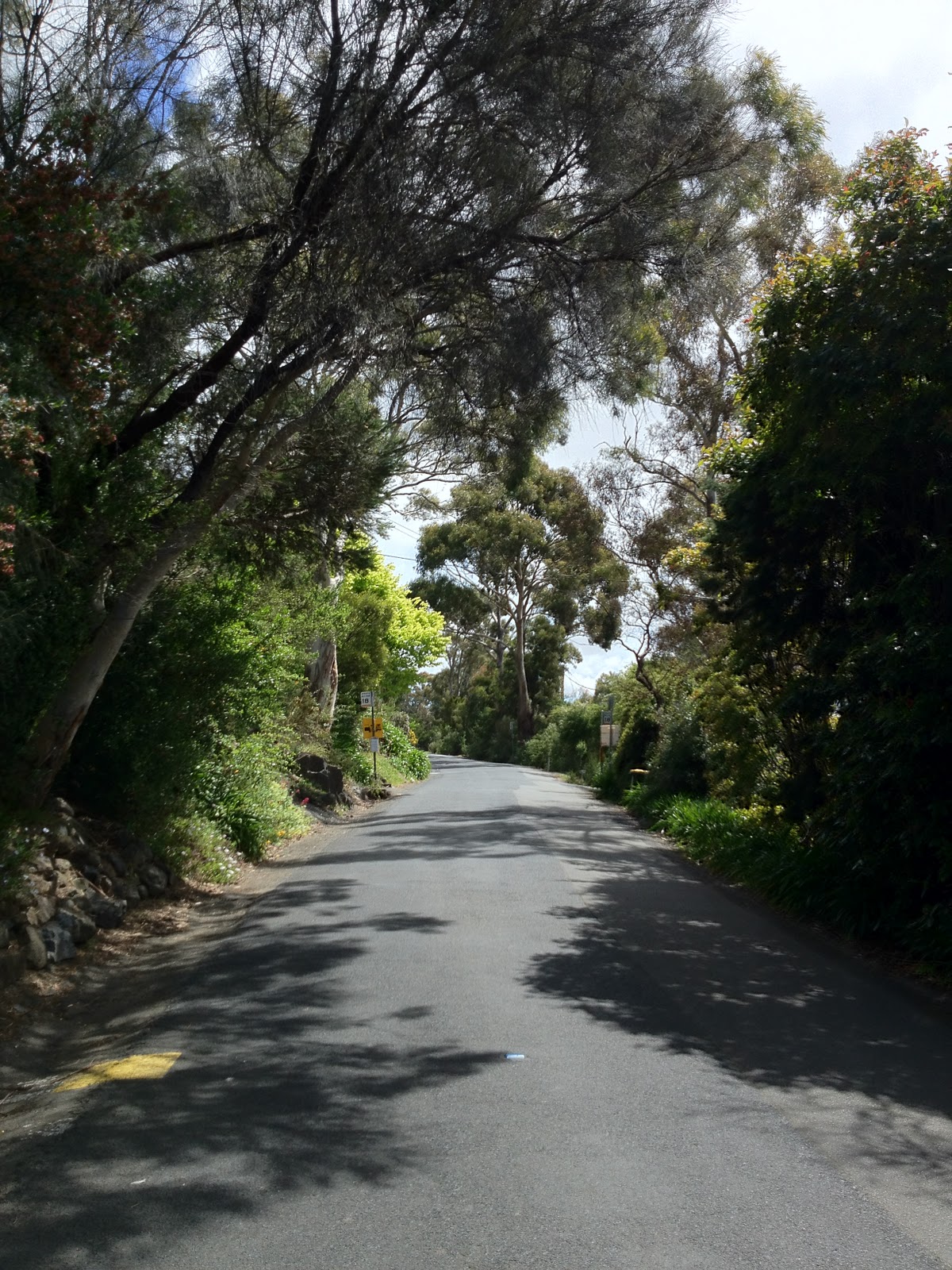
The Springs – a little busier when the Google-Car went through than when we were there!  Yes, that road keeps on going up…

When I reflect on the times that riders such as Cadel Evans and Richie Porte have achieved on this climb, I am amazed.  We averaged about 18.5km/h which I felt really wasn’t too shabby for a 7% gradient.  The road surface is rough and quite damp, both of which make it significantly harder than the raw numbers might indicate.  But from what I understand Cadel was hitting speeds of over 27km/h up the climb and we hadn’t even hit the steep bit of the climb to the summit.

After descending carefully from the Springs to Fern Tree – the road was still damp from the morning frost — we rolled to the Strickland Ave corner and set ourselves up for the final segment — the 3.6km downhill time trial on Huon Rd from Strickland Ave to the Skyline Petrol Station.  This section of road has a 5% gradient (downhill of course!), is smooth, with well cambered gentle bends and is really ideal for this scenario.  I am happy to say I took the line honours on this section, just catching my 10 second man Iain as we reached the petrol station, with an average speed of 58.6km/h.

I did this ride in my Strava gear which was donated by the boys at Strava.  I hope I did it justice!  As always, you can see the ride on Strava:

<br><br><br><br><br><br><br><br><br>The Tour <br>

The Tour of Tasmania is coming to town in a few months, and they’ll be climbing the mountain in a Team Time Trial. Innovative, but a bit of a strange decision, I’d have thought. The winning team will be the one with the best 5 (assuming 5 over the line rule) climbers. An Individual Time Trial would have been more sensible, but a TTT will be a sight to watch!

Playing with the Strava API

I had a couple of free evenings – hard to believe but it happened – and decided to try and have some fun with Strava’s API.  Here’s what I came up with…

The site will give a list of all the segments I’ve attempted, grouped by various classes of segment.  In this view, it orders within each segment by my ranking:

I can also filter those segments to show the ones I’ve never had a good crack at, or the ones where I am just slightly behind the leader, for example:

Then I decided to have some fun with the geolocation services built into iPhone and other mobile browsers (and now some desktop browsers as well!)  With this, I hacked up a little page that would show me all the segments within 5km of my current location, plus the all important competitive data to help me decide which segment to go for today!

Main site: http://durdin.net/cookbook/strava/query.php

Mobile site: http://durdin.net/cookbook/strava/nearby.php

No guarantees on these pages – they are setup to work only for my data at present, unless you know the secret incantations to populate the database with your data as well.

Why /cookbook/?  Well, because I already had a database setup and libraries for it.  In other words, I was being lazy 🙂

Bookmarklet for VAM on all segments in Strava

Have you ever created a segment with a short climb that just wasn’t quite long enough to be classified as a categorized climb in Strava?  You make a good time on the climb of the segment but VAM is not calculated…

A good effort, but no VAM to reward!

Well, here’s a little bookmarklet that adds VAM to each segment in your ride.  If it’s a downhill or flat segment, then the number won’t make much sense, but it is great for those short hard climbs.  This bookmarklet only changes the page, not the backend data, so if you reload, the tweaked VAM numbers will be gone.

After clicking the bookmarklet, note the updated VAM column!

Note also that the numbers calculated are based on the displayed elevation, distance and time values, which have been rounded, so VAM may not always come out quite the same as Strava’s more accurate calculations.

To use this bookmarklet:

  1. Right click on the following link and add it to favorites or bookmarks.
  2. When on a Strava ride page, click the bookmarklet.

The link:

Here’s the original, formatted code behind the link.

(function() {
  var t = document.getElementsByTagName(‘tr’);
  for(var i = 0; i < t.length; i++)
  {
    var tr = t[i];
    if(tr.className == ‘segment’)
    {
      var td_dist = tr.cells[3],
          td_elev = tr.cells[4],
          td_vam = tr.cells[7],
          td_time = tr.cells[9];
     
      var tm = td_time.innerHTML.split(‘:’),
          seconds = (parseInt(tm[0],10) * 60 + parseInt(tm[1],10)) * 60 + parseInt(tm[2],10),
          elev = parseInt(td_elev.innerHTML),
          dist = parseFloat(td_dist.innerHTML);
         
      var VAM = Math.round(elev * 3600 / seconds);
      var gradient = (elev / dist / 10).toFixed(1);
     
      var s = VAM.toString() + ‘ (‘ + gradient + ‘%)’;
     
      if(td_vam.innerHTML == ‘-‘ || td_vam.innerHTML.length > 4) td_vam.innerHTML = s;
      else td_vam.innerHTML += ‘ ‘ + s;
    }
  }
})();